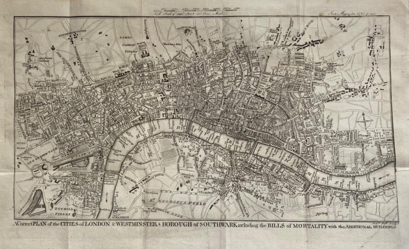
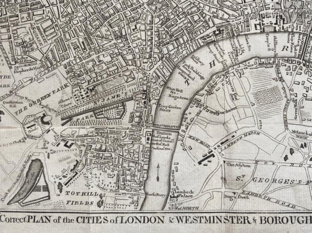
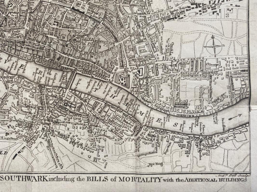
A Correct Plan of the Cities of London and Westminster and Borough of Southwark including the Bills of Mortality with the Additional Buildings


Book Description
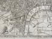
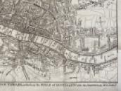
A Correct Plan of the Cities of London and Westminster and Borough of Southwark including the Bills of Mortality with the Additional Buildings engraved by Andrew Bell and published with the Scots Magazine, Edinburgh 1761. On paper size 42 by 27 cm. Scale three and a half inches to the mile. Includes a small compass rose east of Whitechapel. This appears to be based on the Rocque map of 1761 published in the London Magazine. Covers an area from Tottenham Court and Marybone Gardens across to Mile End and Bethnal Green in the north and from Tothill Fields to Rotherhithe in the south. A detailed map. Uncoloured. No text to the reverse. Has been folded.
Author
Rocque
Date
1761
Publisher
The Scots Magazine
Illustrator
Bell
Condition
Good
Other books
If you liked the book you've just seen, you might be interested in other books from the same dealer below.
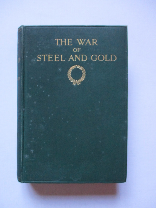
The War of Steel and Gold- Bertrand Russell Signed...
Brailsford
Bell
£450.00
Offered by Arthur Hook
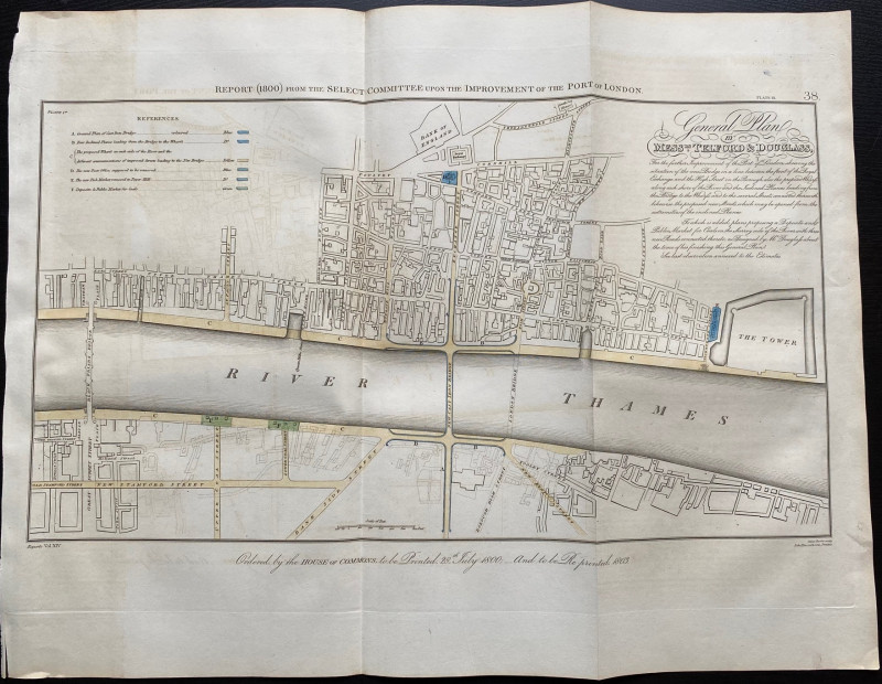
General Plan of Messrs. Telford and Douglass for t...
Telford
Hansard
£250.00
Offered by Arthur Hook
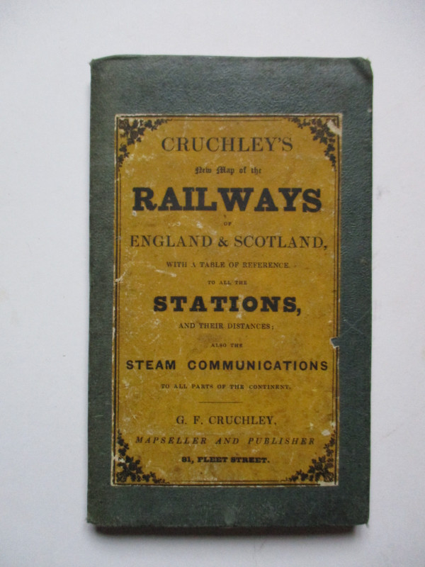
Cruchley’s New Map of the Railways of England and...
Cruchley
Cruchley
£85.00
Offered by Arthur Hook
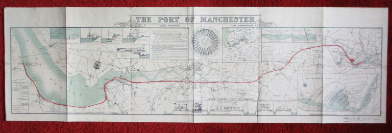
Map of the Port of Manchester & Ship Canal 1902
Falkner
Manchester Ship Canal
£125.00
Offered by Arthur Hook
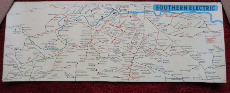
London Railway Map Carriage Print. Southern Electr...
Southern Electric
Southern Electric
£90.00
Offered by Arthur Hook
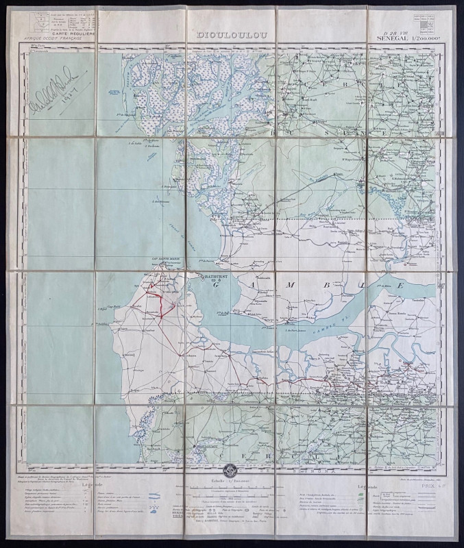
Map of Dioloulou Senegal 1924
Barrere
Service Geographique de l‘Afrique Francaise and Andriveau Goujon
£85.00
Offered by Arthur Hook
Friends of the PBFA
For £10 get free entry to our fairs, updates from the PBFA and more.
Please email info@pbfa.org for more information