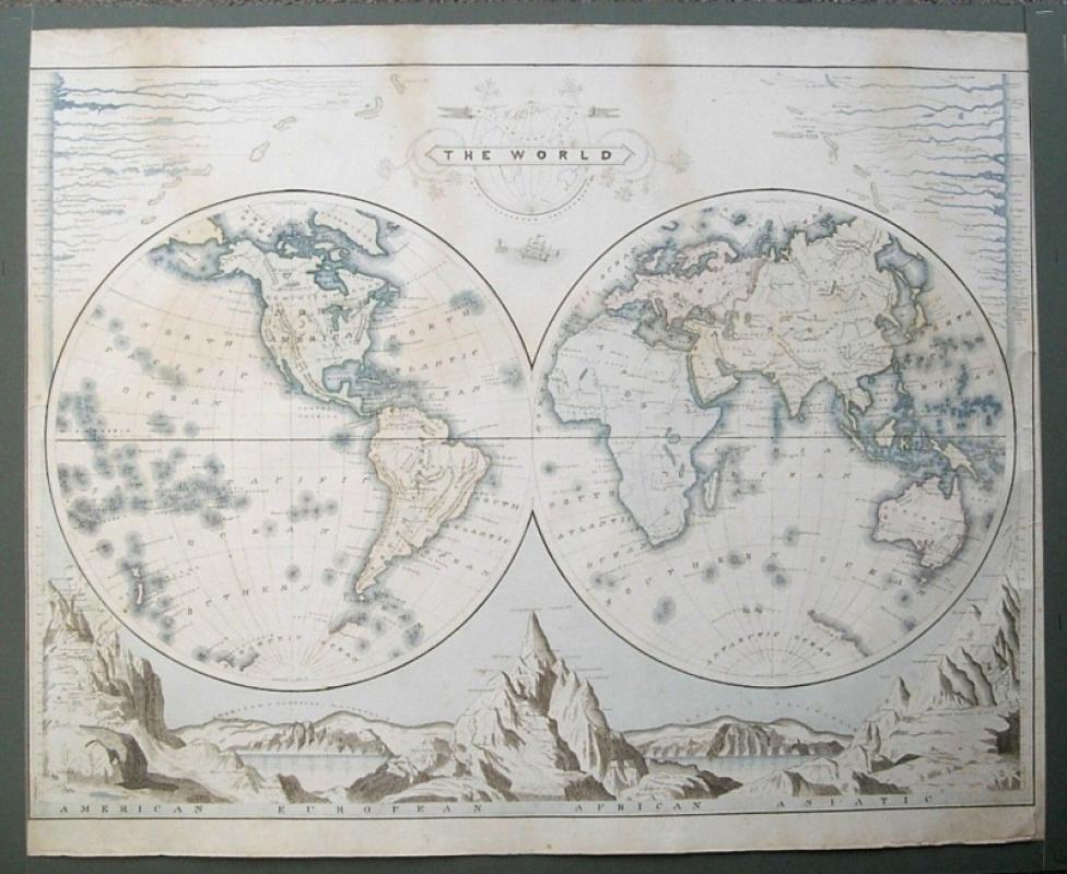
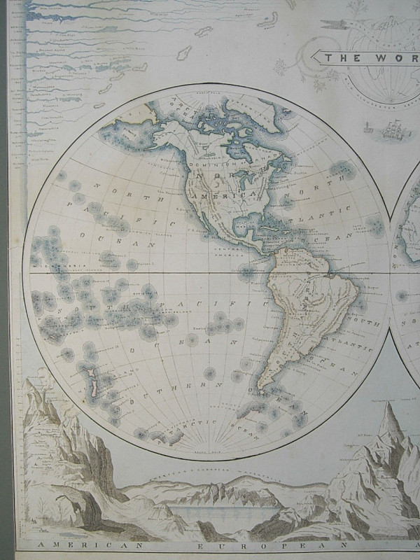
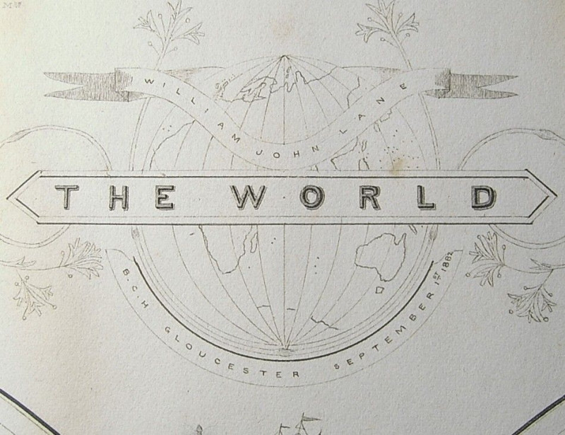
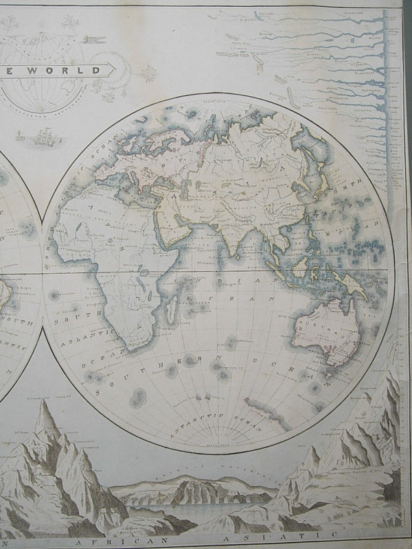
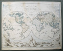
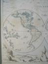
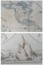
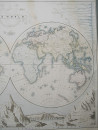
1882 Fine Manuscript MAP OF THE WORLD


Book Description
Other books
If you liked the book you've just seen, you might be interested in other books from the same dealer below.
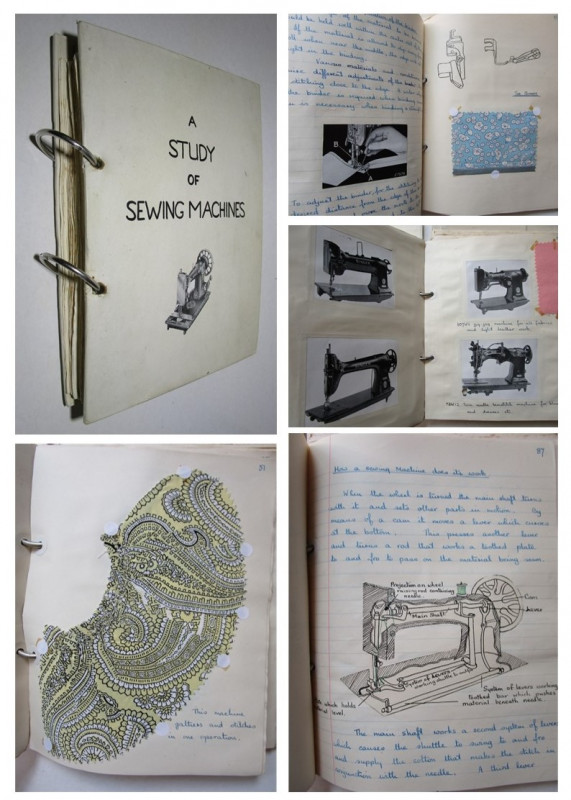
A STUDY OF SEWING MACHINES
Sheila Hattersley
Manuscript Handwritten illustrated Book
£150.00
Offered by Andrew Cox
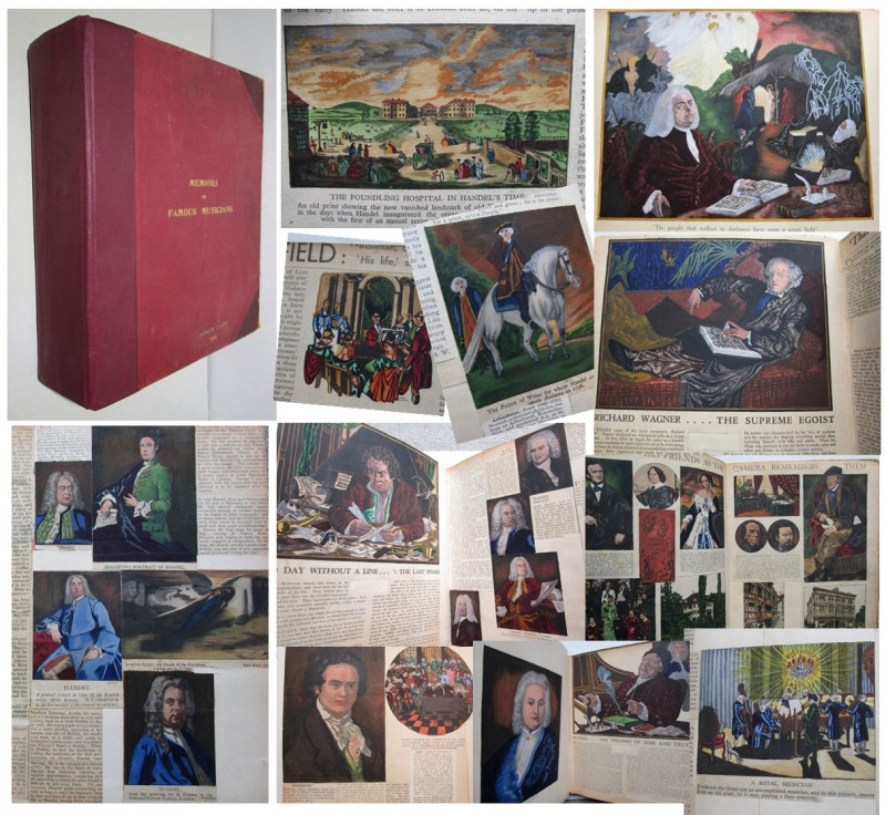
MEMOIRS OF FAMOUS MUSICIANS
Scrapbook with 280 Hand Painted illustrations
Donald Locke
£850.00
Offered by Andrew Cox
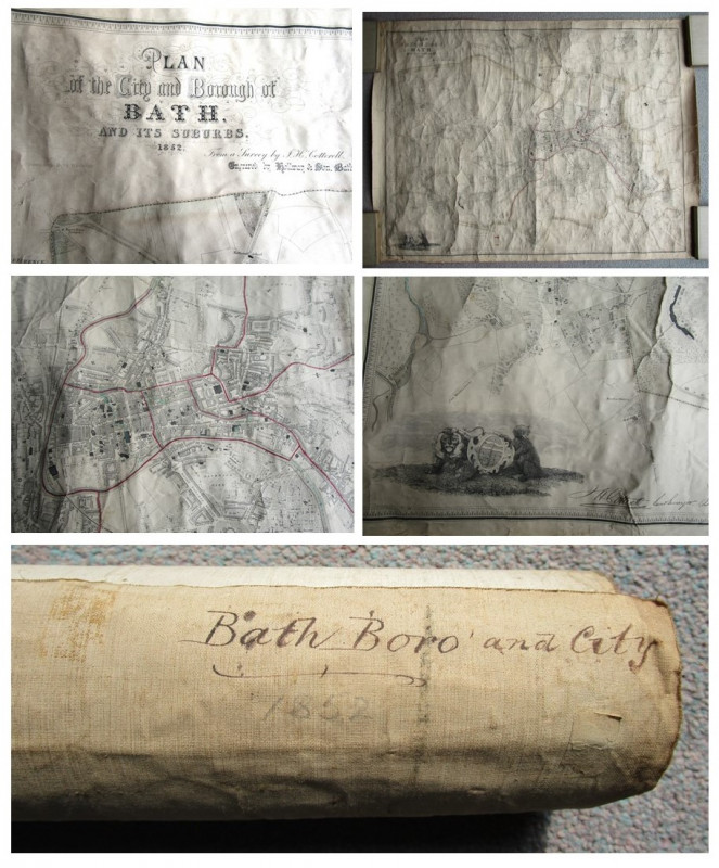
PLAN OF THE CITY AND BOROUGH OF BATH AND ITS SURRO...
From A Survey by J. H. Cotterell
Engraved by Holloway & Son, Bath,
£275.00
Offered by Andrew Cox
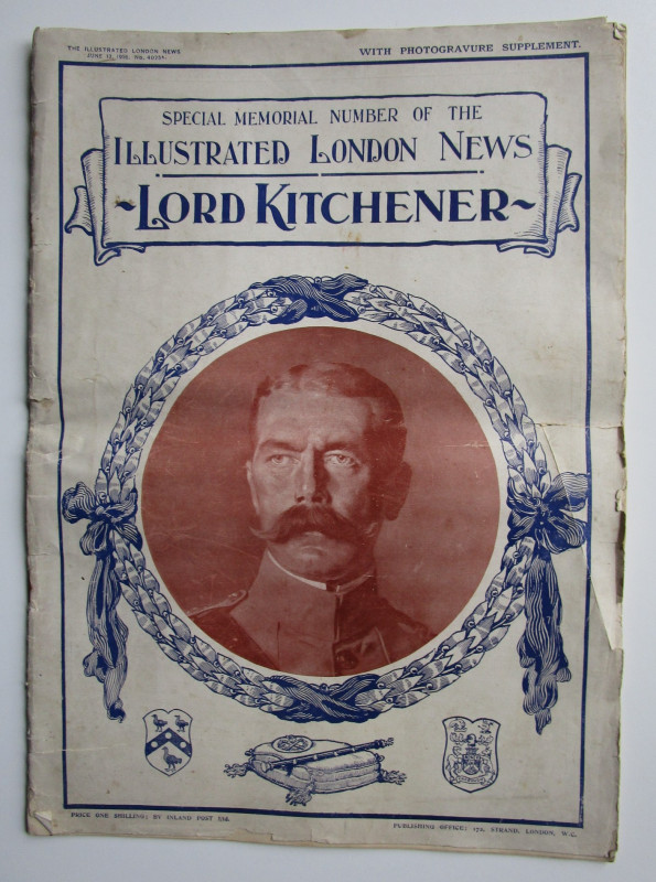
LORD KITCHENER
SPECIAL MEMORIAL NUMBER OF THE ILLUSTRATED LONDON NEWS
June 13th 1916
£35.00
Offered by Andrew Cox
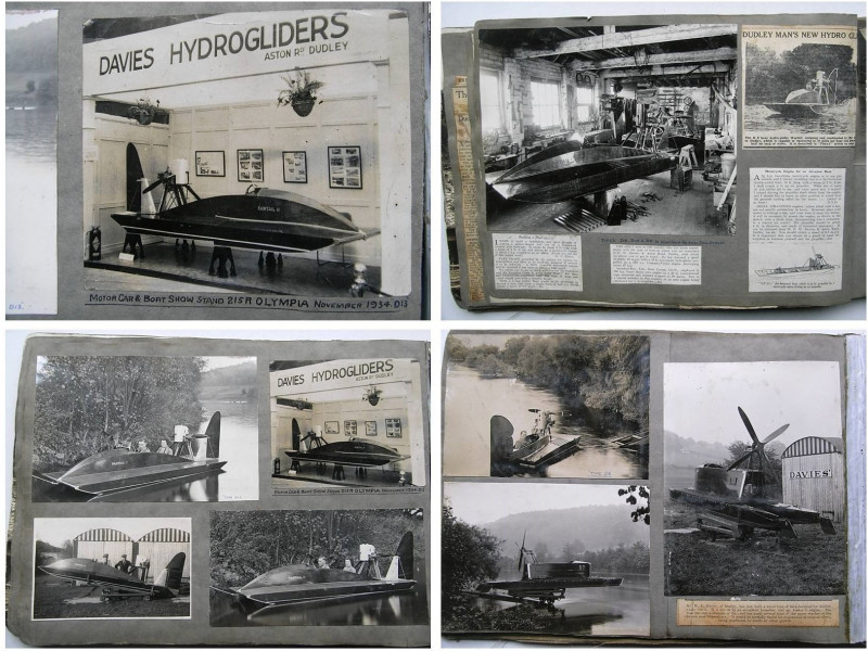
Dudley Inventor and Aircraft Engineer Walter ( Wal...
Walter ( Wally ) Davies
£1500.00
Offered by Andrew Cox
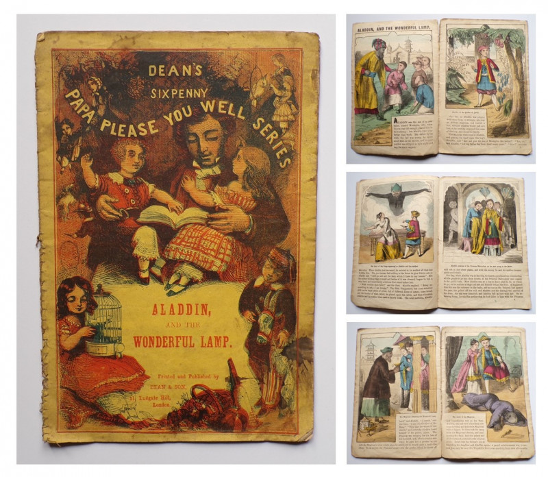
ALADDIN AND THE WONDERFUL LAMP
Victorian Hand Coloured Children's Book
Dean & Son
£250.00
Offered by Andrew Cox
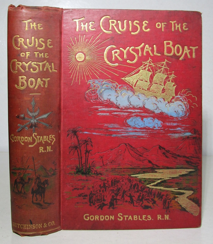
THE CRUISE OF THE CRYSTAL BOAT THE WILD, THE WEIRD...
Gordon Stables
Victorian Science Fiction
£245.00
Offered by Andrew Cox
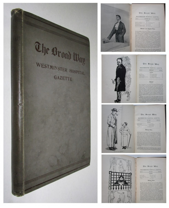
1899 THE BROADWAY or WESTMINSTER HOSPITAL GAZETTE
Westminster Hospital
The First Nine issues February to November 1899
£85.00
Offered by Andrew Cox
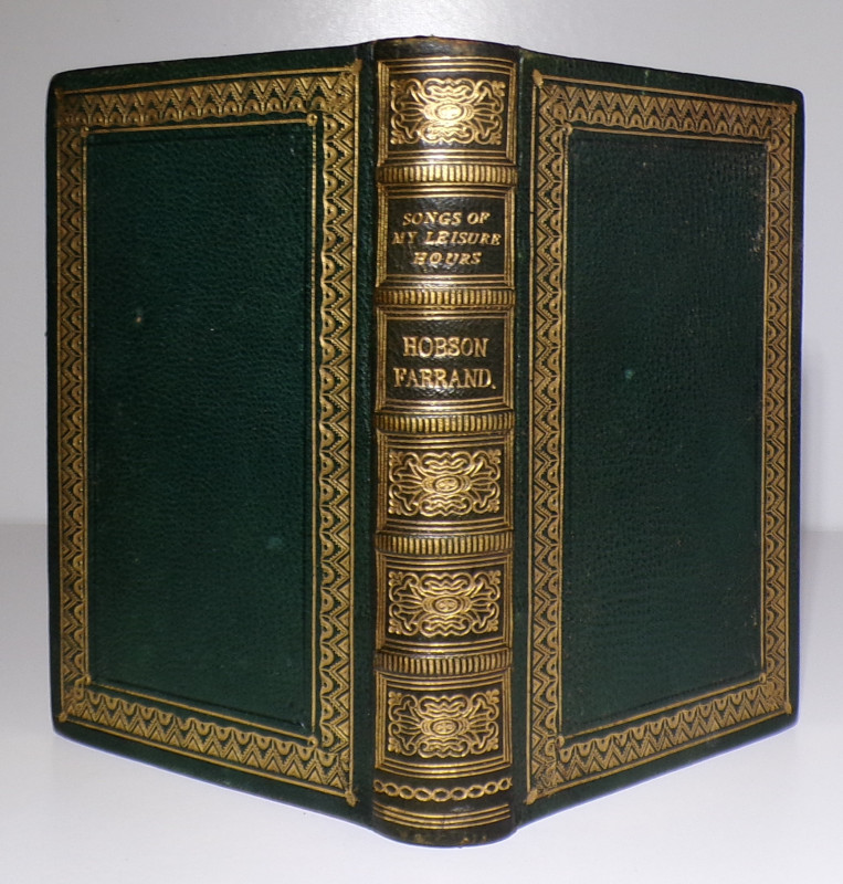
SONGS OF MY LEISURE HOURS
Martha Sophia Hobson Farrand
Matlock Derbyshire Published Poetry
£85.00
Offered by Andrew Cox
Friends of the PBFA
Please email info@pbfa.org for more information