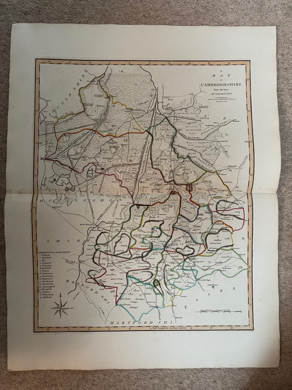
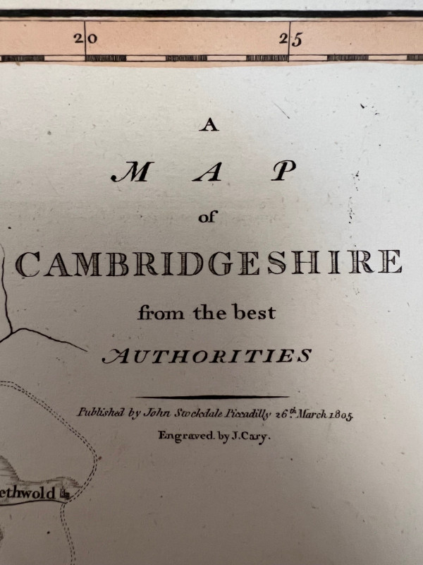
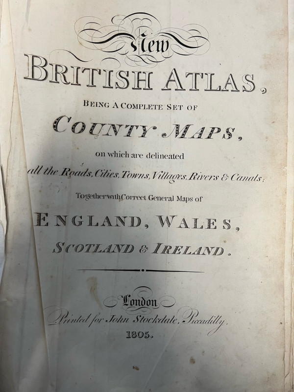
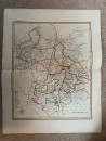
A Map of Cambridgeshire from the Best Authorities

Book Description
Dealer Notes
Other books
If you liked the book you've just seen, you might be interested in other books from the same dealer below.
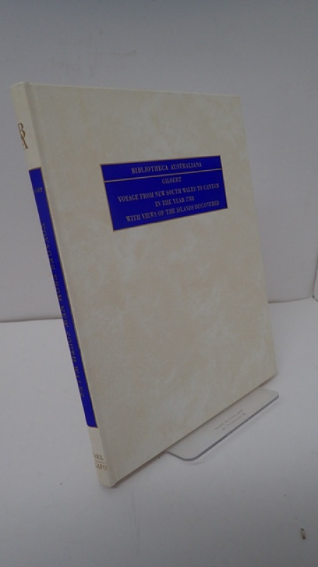
Bibliotheca Australiana #44: Voyage from New South...
GILBERT, Thomas
N Israel, Amsterdam
£35.00
Offered by Yatton Books & Prints
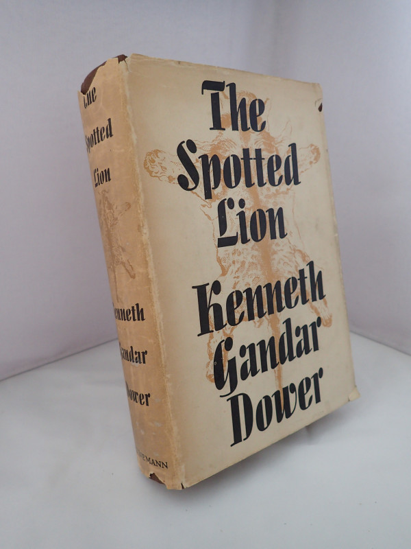
The Spotted Lion
GANDAR DOWER, Kenneth
William Heinemann Ltd
£45.00
Offered by Yatton Books & Prints
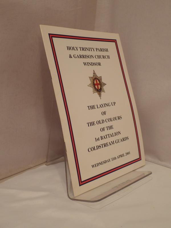
Holy Trinity Parish & Garrison Church Windsor: The...
Anon
Privately Printed
£10.00
Offered by Yatton Books & Prints
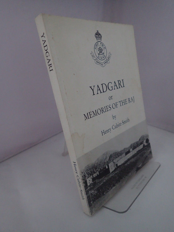
Yadgari or Memories of the Raj
CUBITT-SMITH, Henry
Privately Printed
£20.00
Offered by Yatton Books & Prints
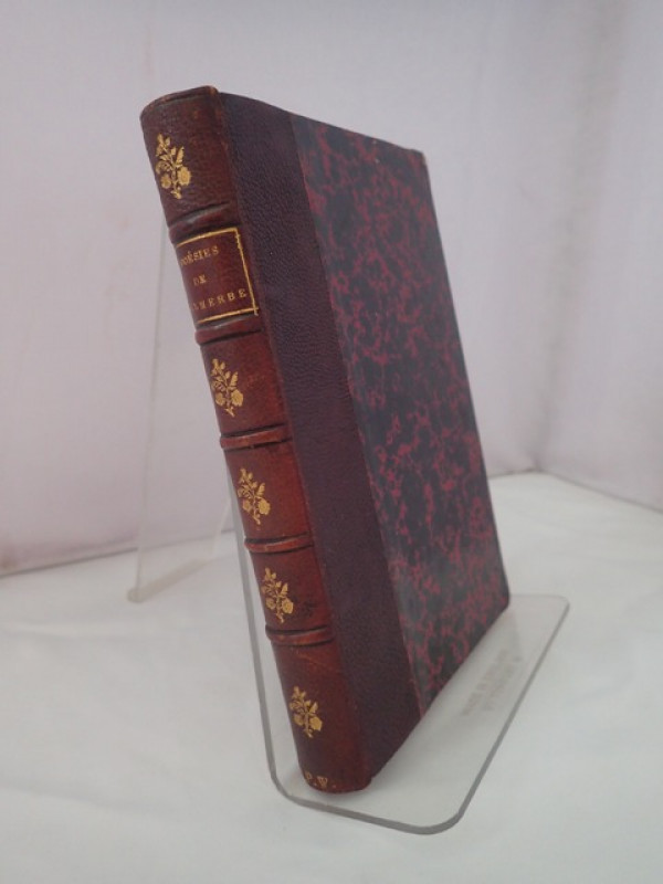
Poesies Completes de Malherbe avec Preface, Notes...
JANNET, M Pierre
C Marpon & E Flammarion, Paris
£40.00
Offered by Yatton Books & Prints
Combat Codes: A Full Explanation and Listing of Br...
FLINTHAM, Vic & THOMAS, Andrew
Airlife Publishing Ltd
£15.00
Offered by Yatton Books & Prints
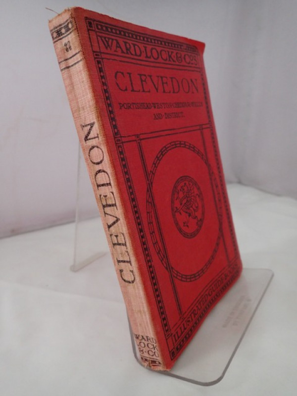
A Pictorial and Descriptive Guide to Clevedon, Por...
Anon
Word Lock & Co Limited
£20.00
Offered by Yatton Books & Prints
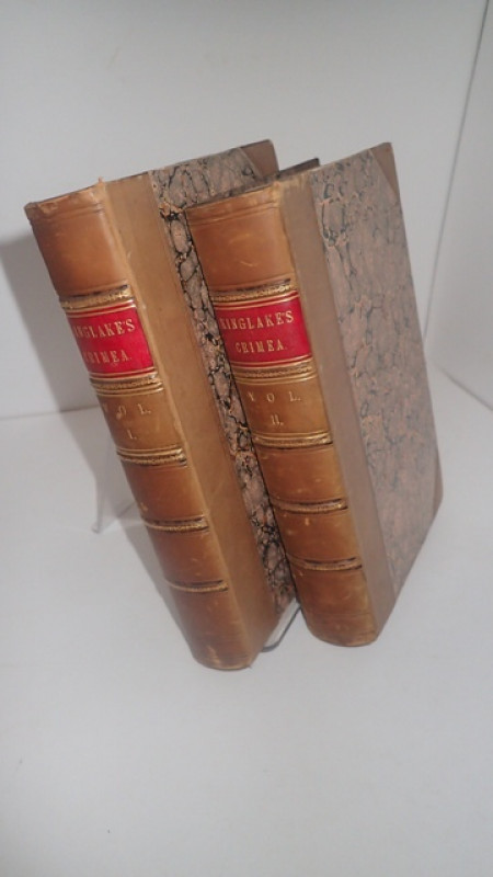
The Invasion of the Crimea: Its Origin and An Acco...
KINGLAKE, Alexander William
William Blackwood and Sons
£150.00
Offered by Yatton Books & Prints
Friends of the PBFA
Please email info@pbfa.org for more information