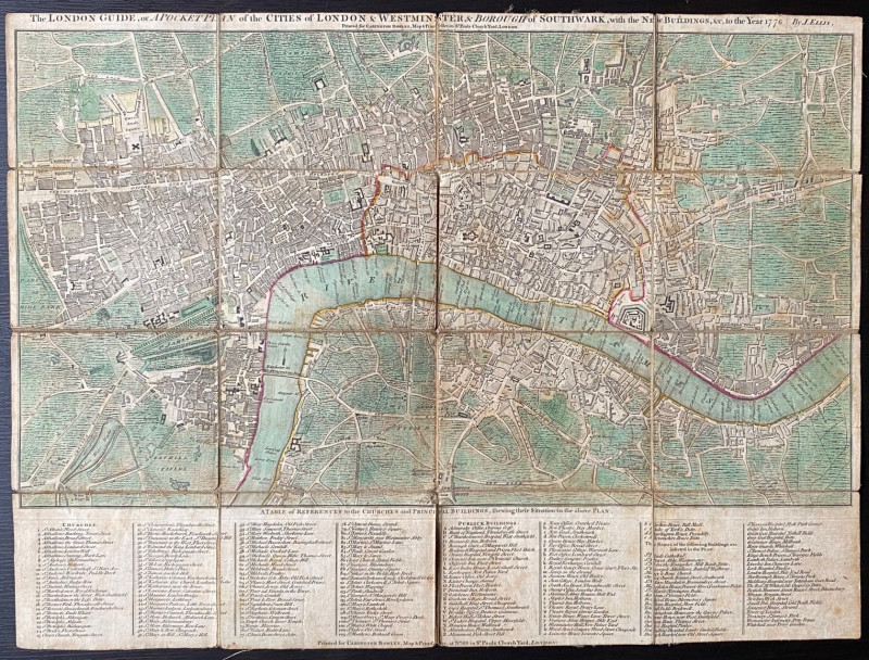
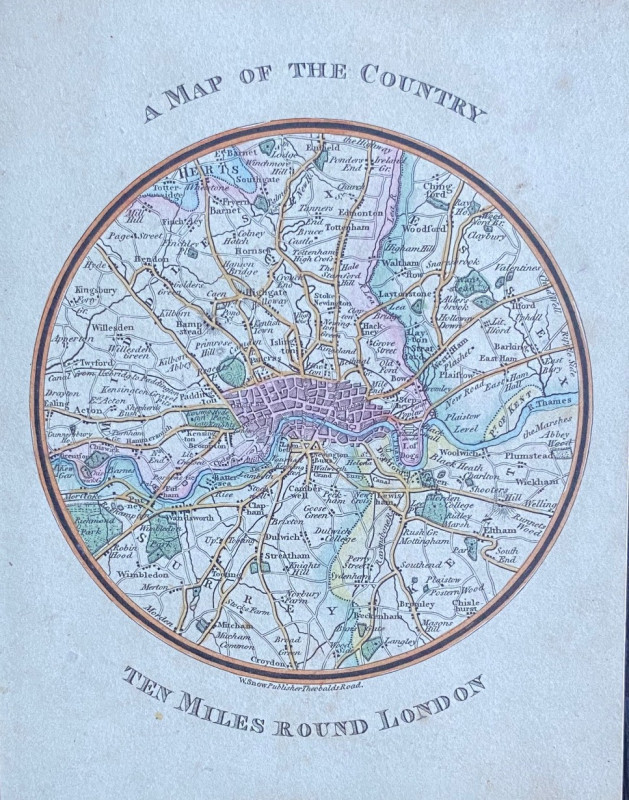
A Map of the Country Ten Miles Around London
Book Description
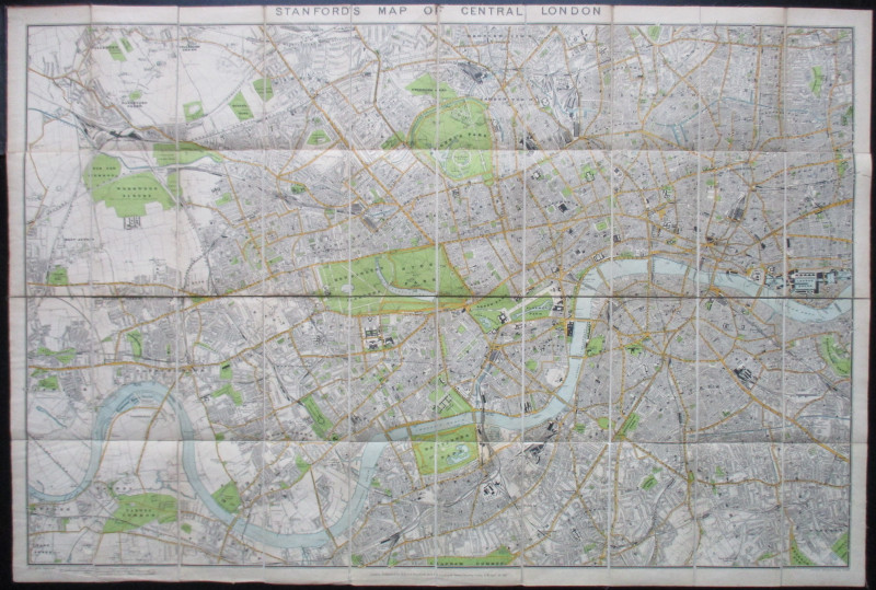
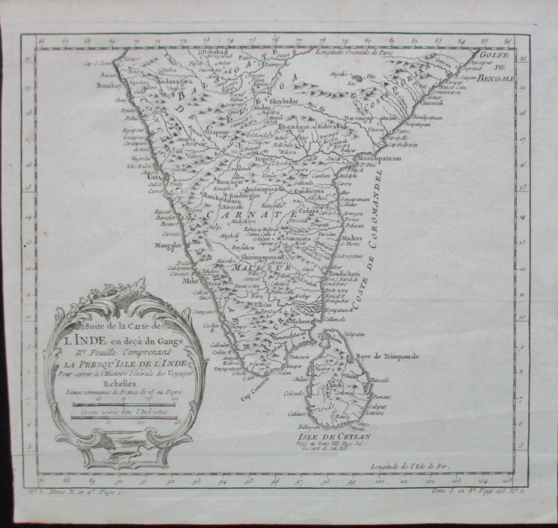
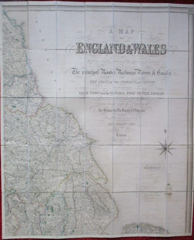
A Map of the Country Ten Miles Around London published by Snow, London circa 1820. A circular map, 10 cm. in diameter, set in a 14 by 11 cm. card frame. Hand-coloured. Covers an area from Enfield in the north across to Croydon in the south and from Ealing in the west to Ilford and Plumstead in the east. VG condition.
Author
Snow
Date
1820
Publisher
Snow
Condition
VG
Friends of the PBFA
For £10 get free entry to our fairs, updates from the PBFA and more.
Please email info@pbfa.org for more information
