A New Map of Crimea 1855


Book Description
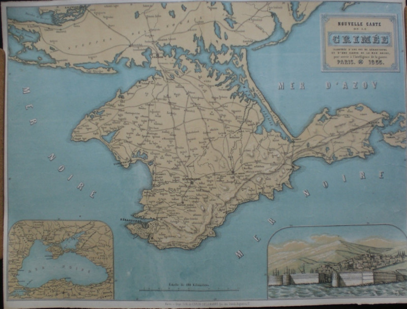
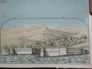
A New Map of Crimea published by Caron-Delamarre, Paris 1855. On paper size 58 by 44 cm. Scale 20 kilometres to the inch. Colour. Includes an inset map of the Black Sea and a vignette of Sebastopol. A large map in VG condition.
Date
1855
Publisher
1855
Condition
VG
Other books
If you liked the book you've just seen, you might be interested in other books from the same dealer below.
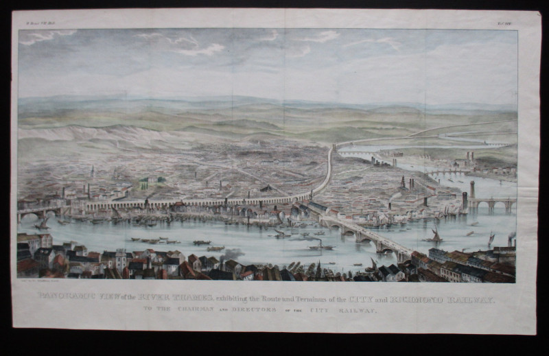
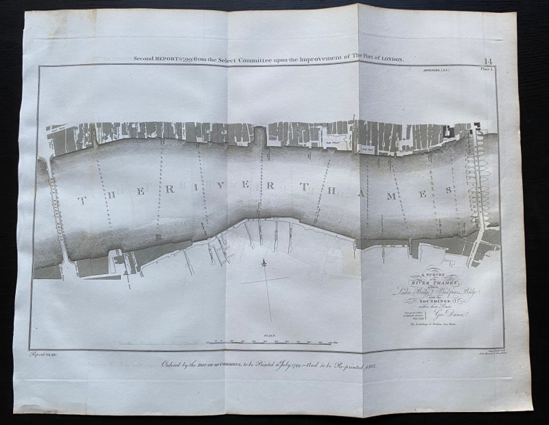
Panoramic View of the River Thames exhibiting the...
Schulthess
City and Richmond Railway
£310.00
Offered by Arthur Hook
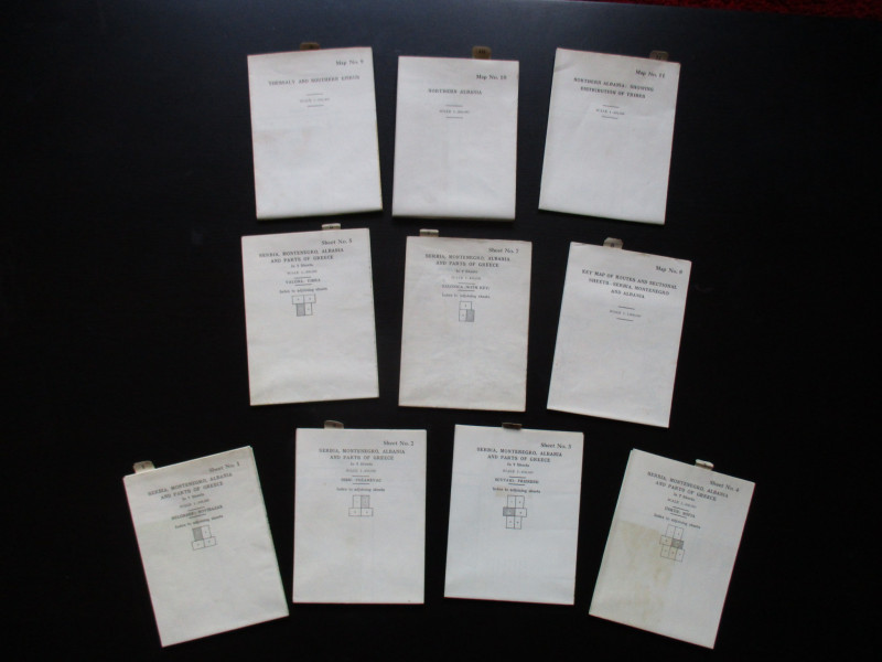
Maps to accompany Handbooks of Serbia, Montenegro...
British Admiralty War Staff
Ordnance Survey & British Admiralty
£295.00
Offered by Arthur Hook
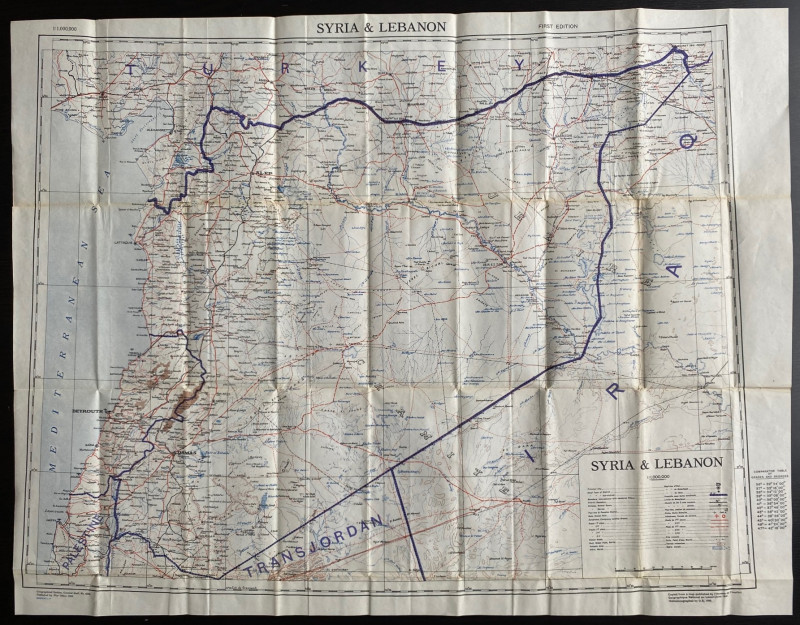
OS War Office Map of Syria and Lebanon 1942
British War Office
British War Office
£30.00
Offered by Arthur Hook
Friends of the PBFA
For £10 get free entry to our fairs, updates from the PBFA and more.
Please email info@pbfa.org for more information