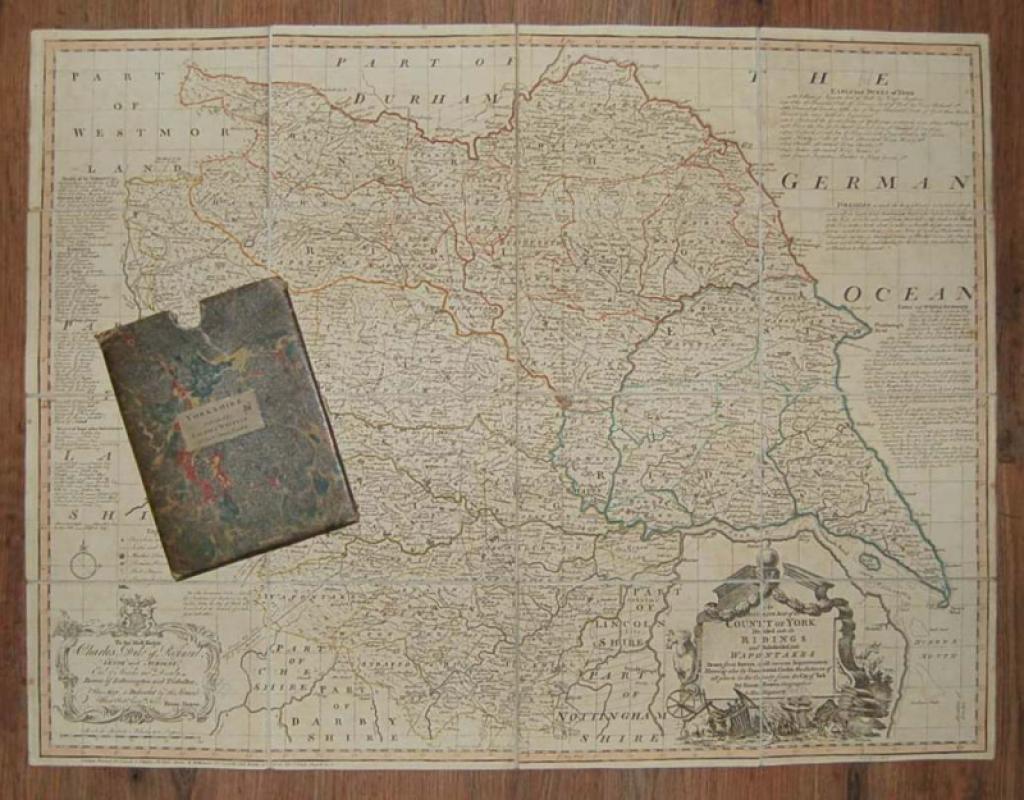
An Accurate Map of the County of York, Divided into it’s Ridings and Subdivided into Wapontakes, Drawn from Surveys with various Improvements, Shewing also by Concentrick Circles, the distance of al
Book Description
Other books
If you liked the book you've just seen, you might be interested in other books from the same dealer below.
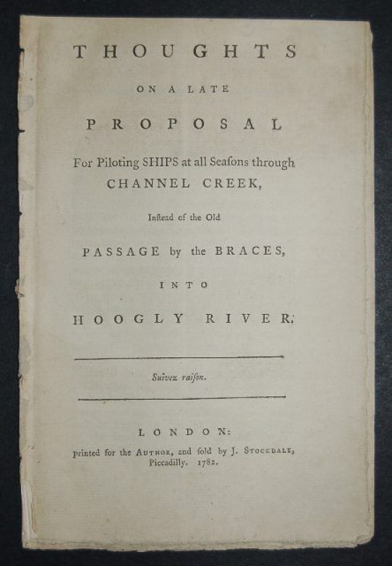
Thoughts on a Late Proposal for Piloting Ships at...
[LACAM (Benjamin)]
Printed for the Author,
£545.00
Offered by Forest Books
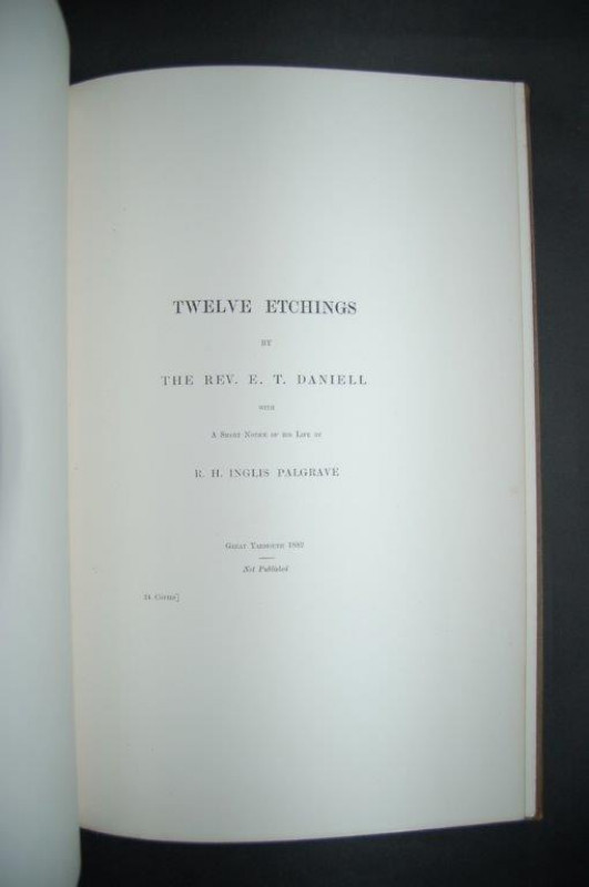
Twelve Etchings by the Rev. E. T. Daniell with a S...
DANIELL (Edward Thomas)
Great Yarmouth: Not Published [N.p.,]
£795.00
Offered by Forest Books
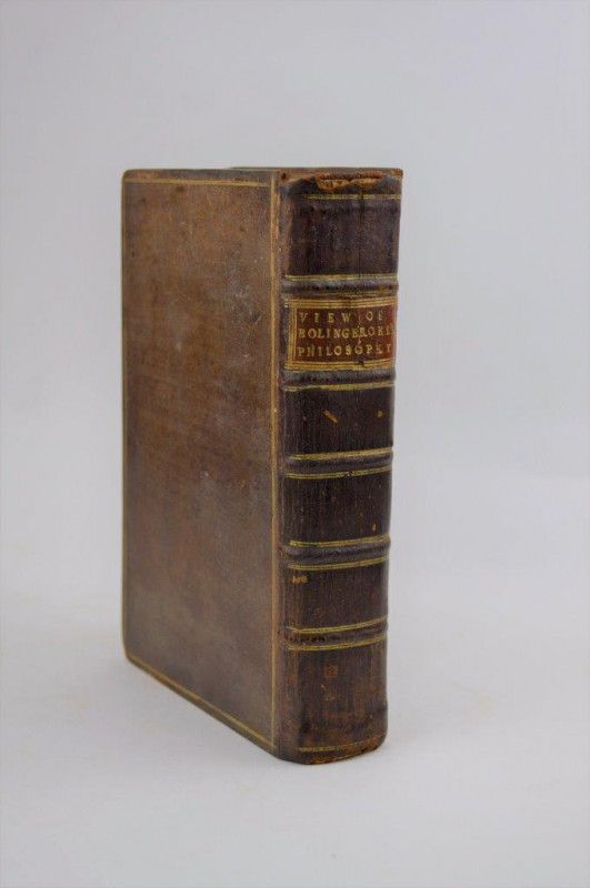
A View of Lord Bolingbroke’s Philosophy; In Four L...
[WARBURTON (William)]
London: Printed for John and Paul Knapton,
£175.00
Offered by Forest Books
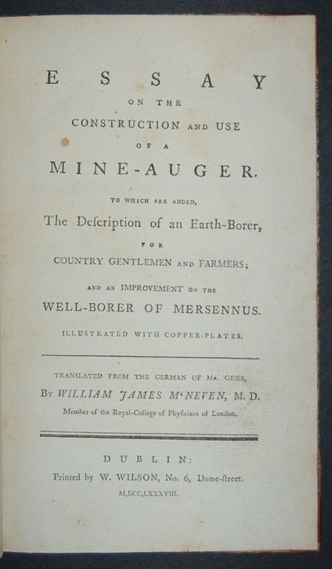
Essay on the Construction and Use of a Mine-auger....
[GEISSAU (Anton Ferdinand von)]
Dublin: Printed by W. Wilson,
£395.00
Offered by Forest Books
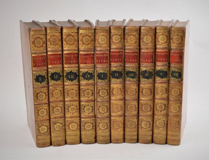
A Collection of Poems in Six Volumes by Several Ha...
DODSLEY (Robert), PEARCH (George)
London: R. Dodsley and G. Pearch,
£950.00
Offered by Forest Books
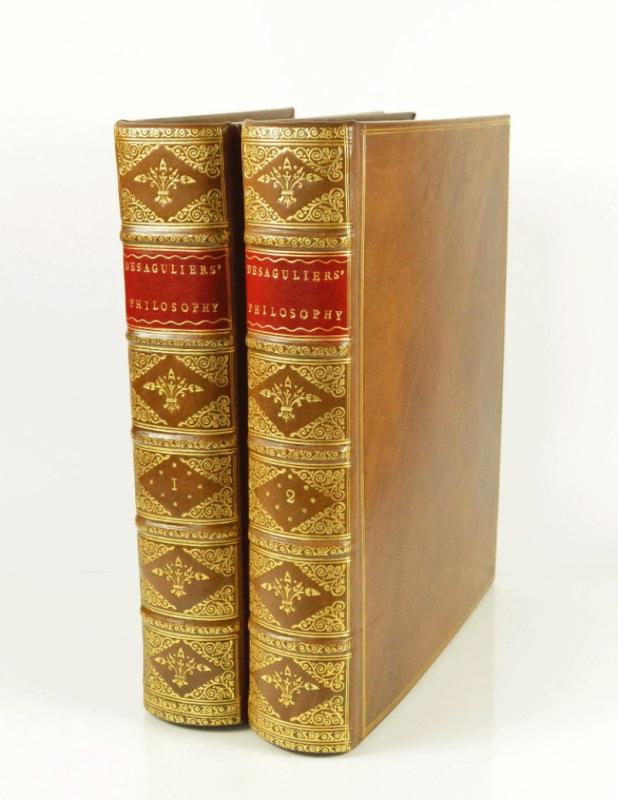
A Course of Experimental Philosophy.
DESAGULIERS (John Theophile)
London: Printed for W. Innys, T. Longman and T. Shewell, and C. Hitch, and M. Senex,
£1695.00
Offered by Forest Books

A System of Anatomical Plates of the Human Body; A...
LIZARS (John)
Edinburgh: Printed for Daniel Lizards,
£3200.00
Offered by Forest Books
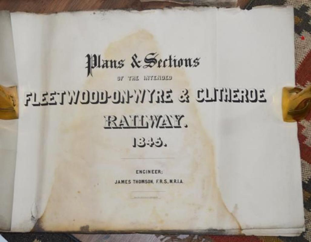
Plans & Sections of the Fleetwood-on-Wyre & Clithe...
THOMPSON (John) Engineer.
London: MacLure, MacDonald & MacGregor,
£110.00
Offered by Forest Books
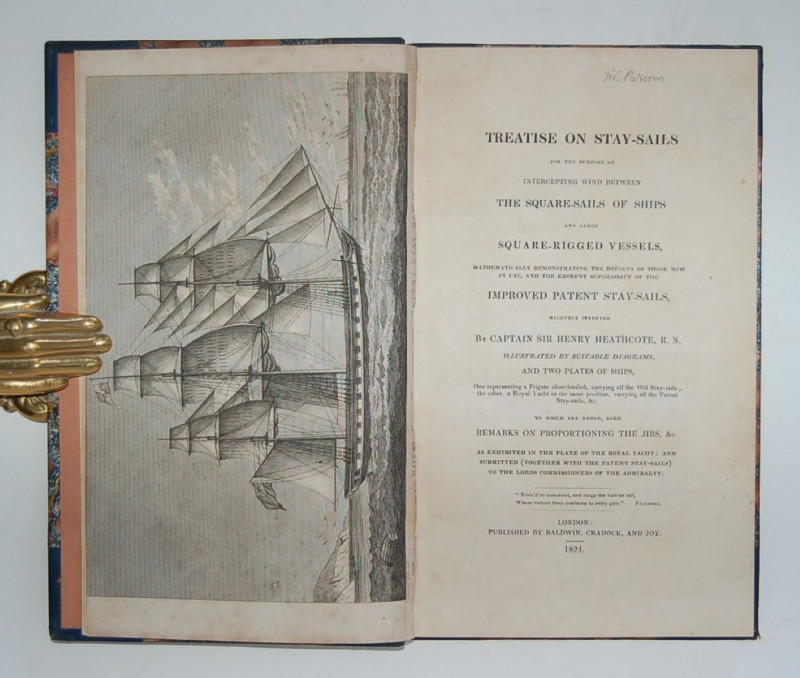
Treatise on Stay-Sails for the Purpose of Intercep...
HEATHCOTE (Captain Sir Henry)
London: Published by Baldwin, Cradock, and Joy,
£375.00
Offered by Forest Books
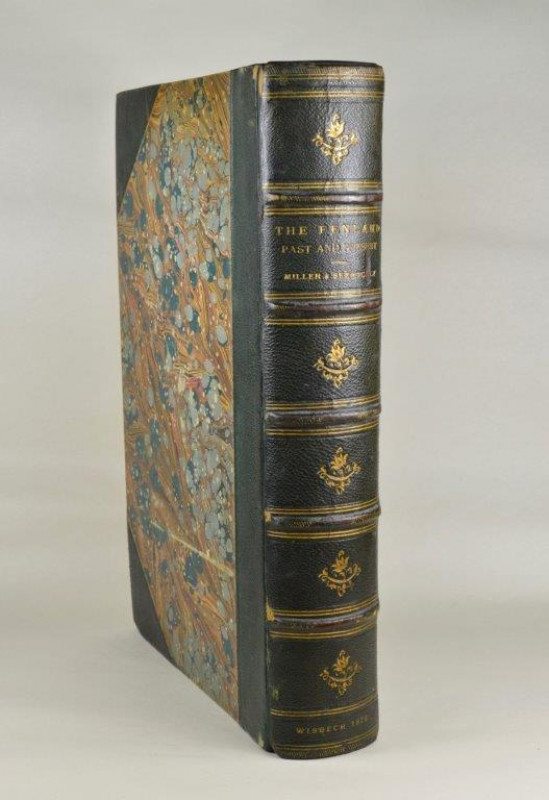
The Fenland Past and Present.
MILLER (Samuel H.) & SKERTCHLEY (Sydney B. J.)
Wisbech: Leach and Son,
£425.00
Offered by Forest Books
Friends of the PBFA
Please email info@pbfa.org for more information