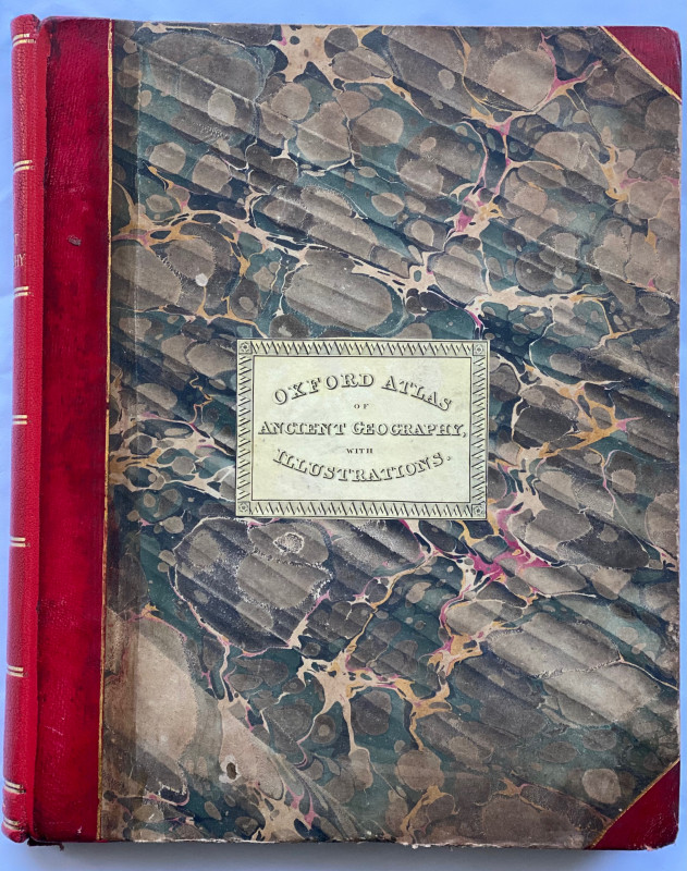
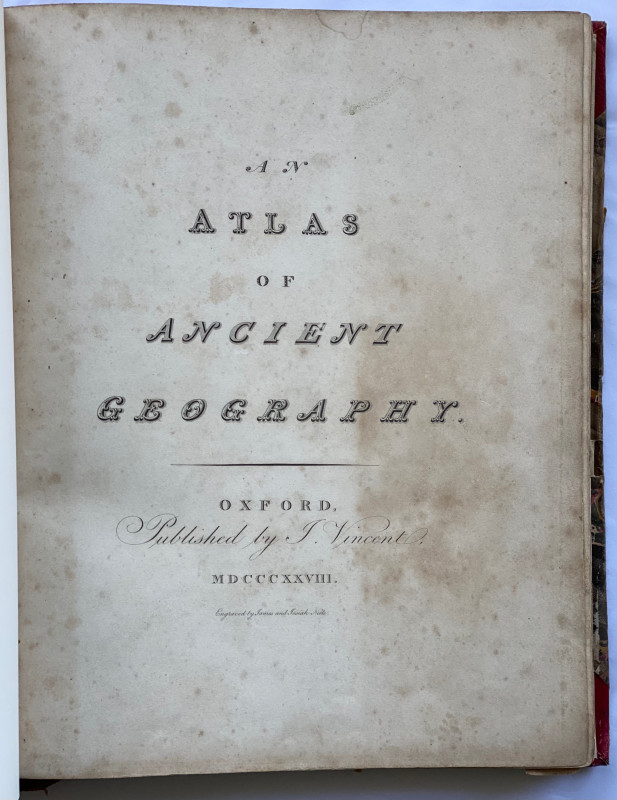
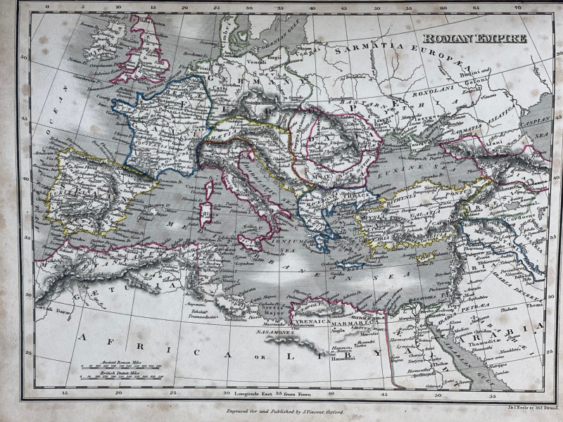
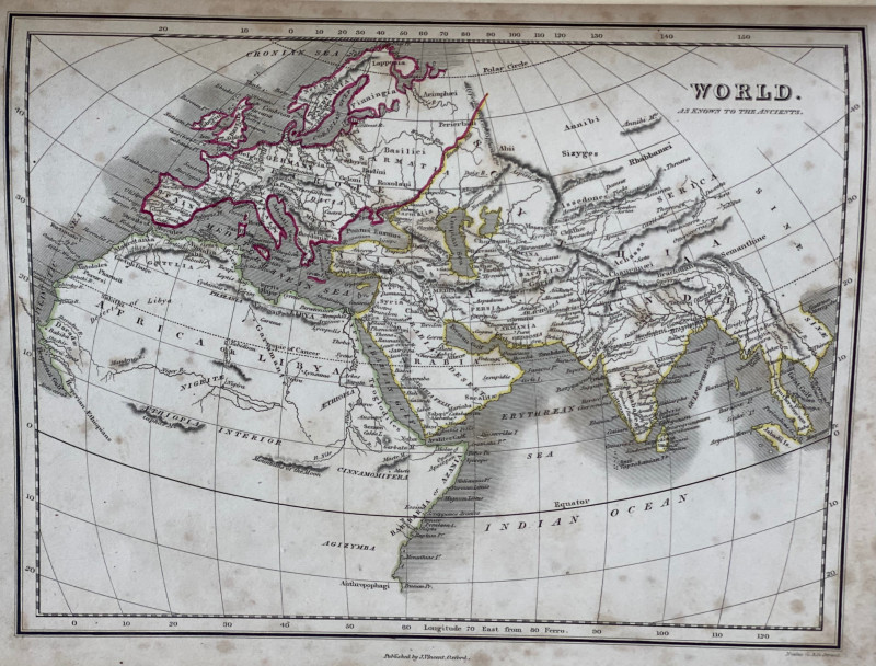
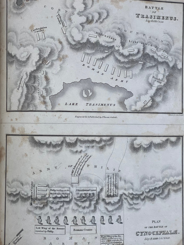
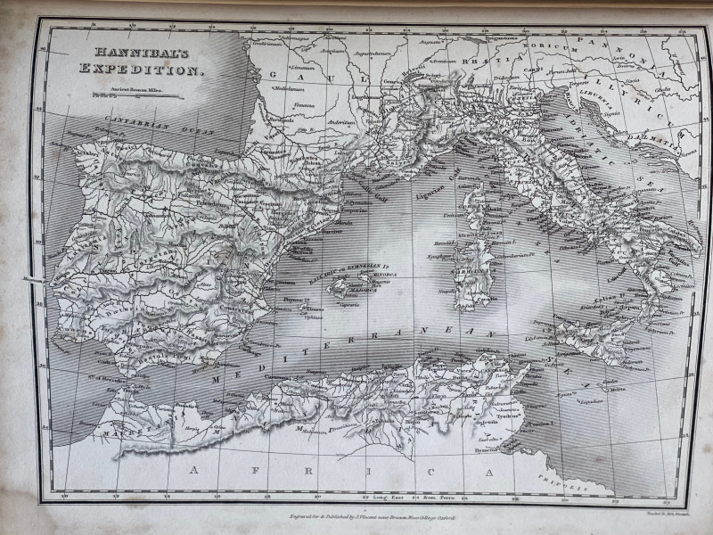
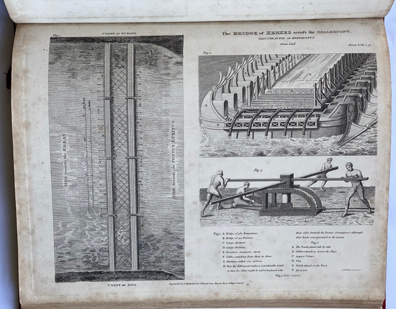
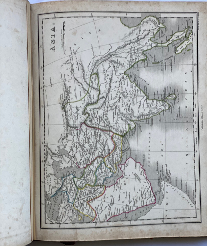
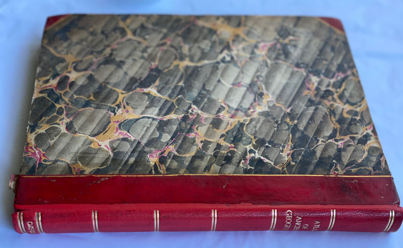
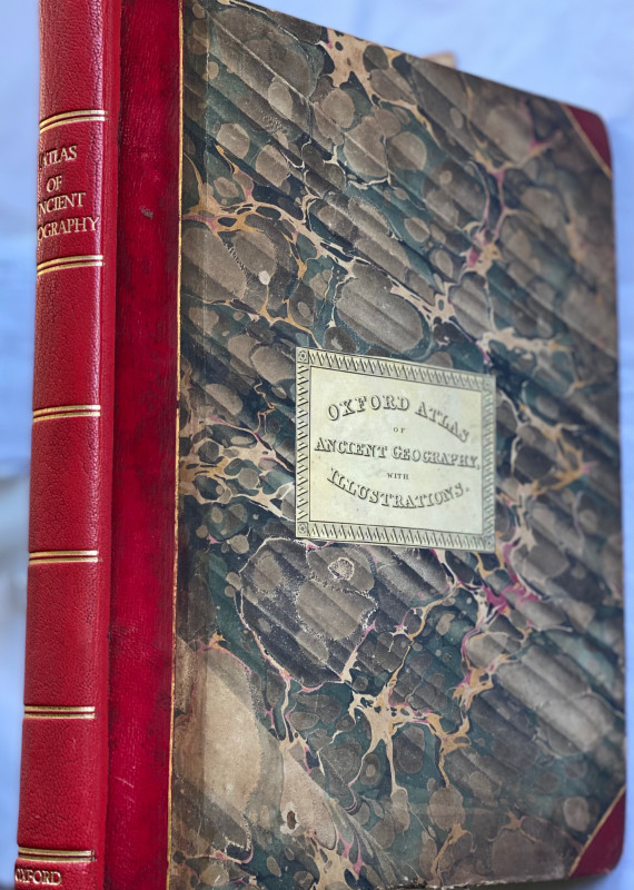
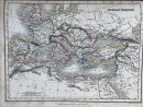
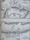
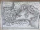
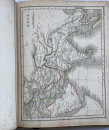
An Atlas of Ancient Geography


Book Description
Dealer Notes
Other books
If you liked the book you've just seen, you might be interested in other books from the same dealer below.

Archaeologia or Miscellaneous Tracts relating to A...
N/A
Society of Antiquaries of London
£150.00
Offered by Celsus Books
[BROCA binding] Medulla historiæ Anglicanæ. The an...
HOWEL [HOWELL], William. Broca, L. [BINDER]
London: printed for Timothy Childe: and for Thomas Varnam and John Osborn: and William Taylor.
£245.00
Offered by Celsus Books
The posthumous works of Mr Samuel Butler, (author...
[Edward Bray] BUTLER, Samuel.
London: printed for and sold by Richard Baldwin, at the Blue Bible in St Paul s Churchyard.
£75.00
Offered by Celsus Books
Nicholas Nickleby by Charles Dickens. With illustr...
DICKENS, Charles
London: Chapman and Hall, 186, Strand. MDCCCXXXIX
£245.00
Offered by Celsus Books

The Canary, its Varieties, Management, and Breedin...
Smith, the Rev. Francis
Groombridge and Sons
£200.00
Offered by Celsus Books
The Meadow Queen; or, the Young Botanists, with th...
S.W. [Sarah Waring]
London: William Darton and on, Holburn Hill.
£245.00
Offered by Celsus Books
The book of common prayer and administration of th...
STURT, John (engraver)
John Sturt
£750.00
Offered by Celsus Books
Friends of the PBFA
Please email info@pbfa.org for more information