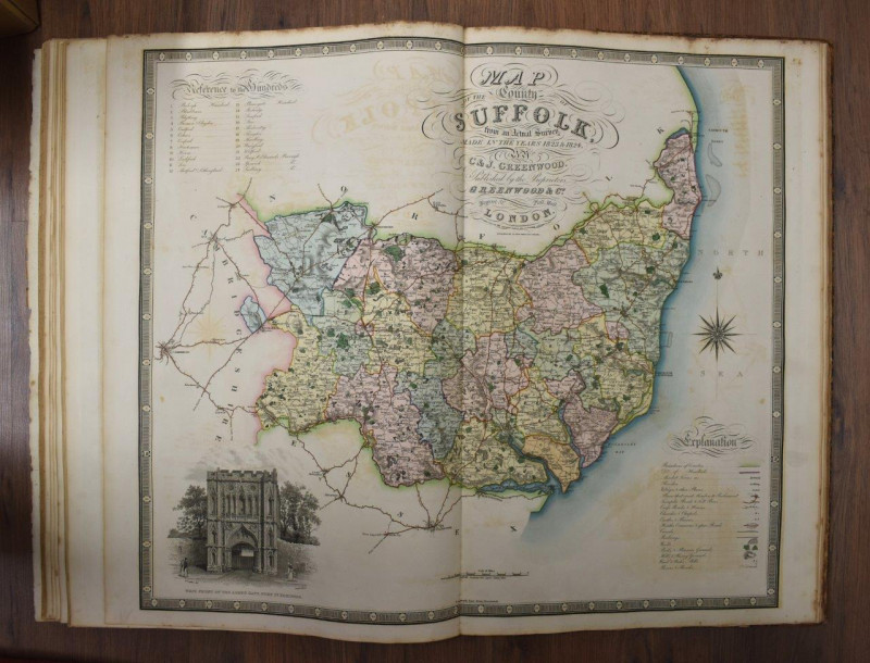
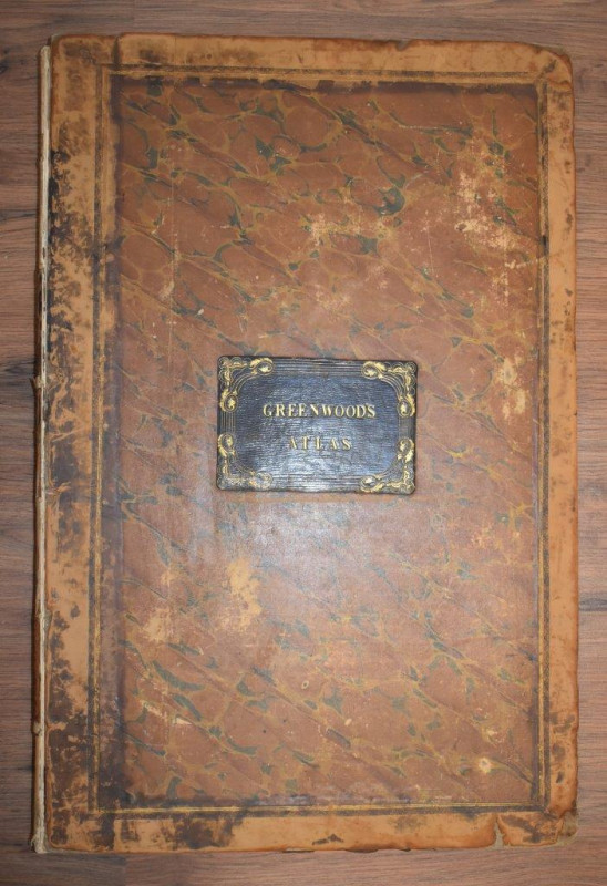
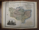
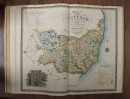
Atlas of the Counties of England [and Wales], from Actual Surveys made from the Years 1817 to 1833.


Book Description
Other books
If you liked the book you've just seen, you might be interested in other books from the same dealer below.
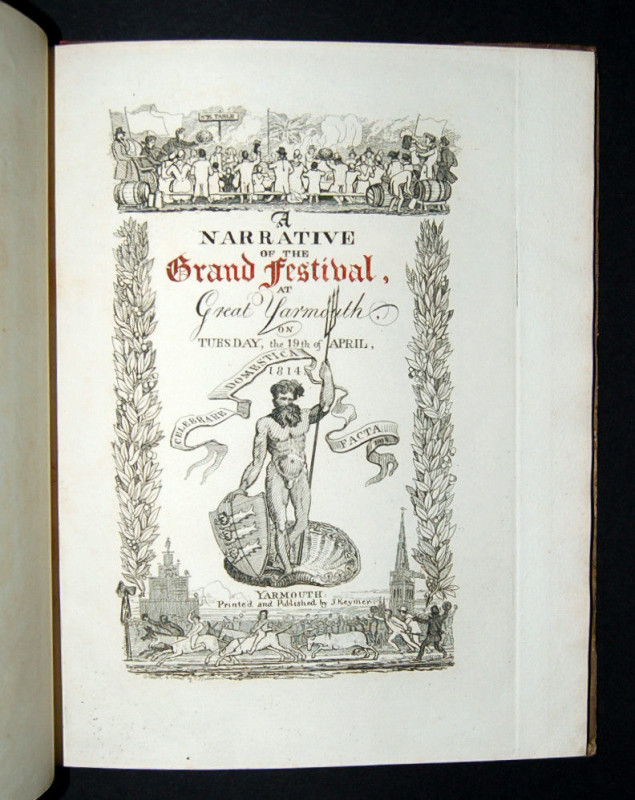
A Narrative of the Grand Festival, at Yarmouth, on...
[CROY (Robert)]
Yarmouth: Printed by J. Keymer, Unpublished,
£495.00
Offered by Forest Books
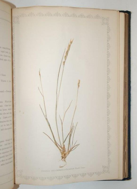
[62 MOUNTED SPECIMENS OF GRASSES] Natural Illustra...
HANHAM (Frederick) Editor.
Bath: Binns and Goodwin,
£495.00
Offered by Forest Books
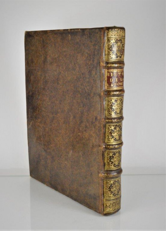
Histoire de la Laponie, sa description, l’origine,...
SCHEFFER (Johannes)
Paris: chez la Veuve Olivier de Varennes,
£1395.00
Offered by Forest Books
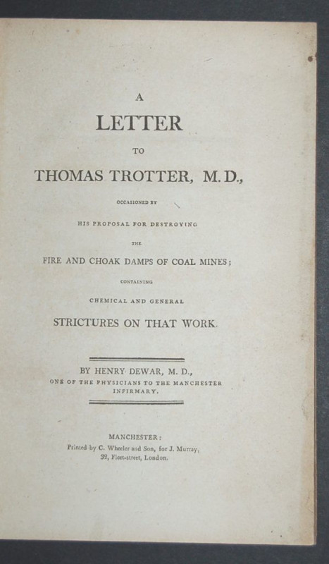
A Letter to Thomas Trotter, M.D., Occasioned by hi...
DEWAR (Henry)
Manchester: Printed by C. Wheeler and Son,
£125.00
Offered by Forest Books
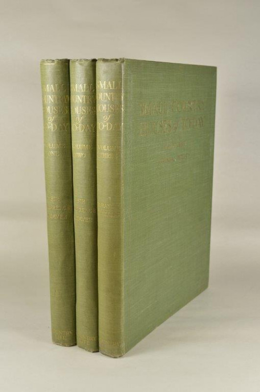
Small Country Houses of Today.
WEAVER (Sir Lawrence) & PHILLIPS (R. Randal)
Country Life Limited.,
£195.00
Offered by Forest Books
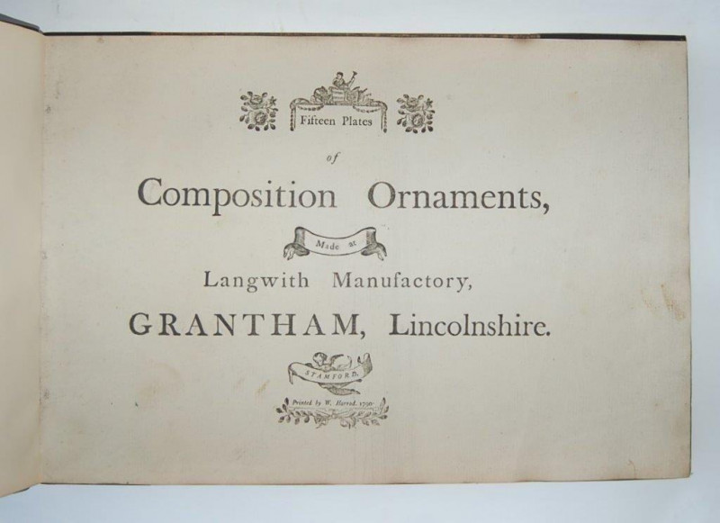
Fifteen Plates of Composition Ornaments, Made at L...
LANGWITH MANUFACTORY, GRANTHAM, LINCS.
Stamford: Printed by W. Harrod,
£11995.00
Offered by Forest Books
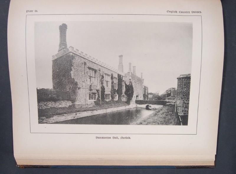
English Country Houses, One Hundred Plates.
BATES & GUILD COMPANY.
Boston: Bates & Guild Company,
£50.00
Offered by Forest Books
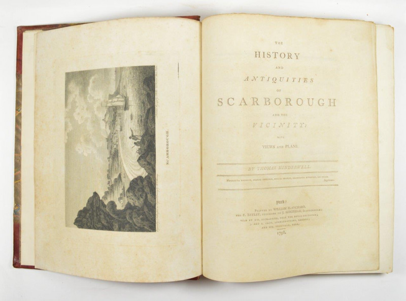
The History and Antiquities of Scarborough and the...
HINDERWELL (Thomas)
York: Printed by William Blanchard,
£225.00
Offered by Forest Books
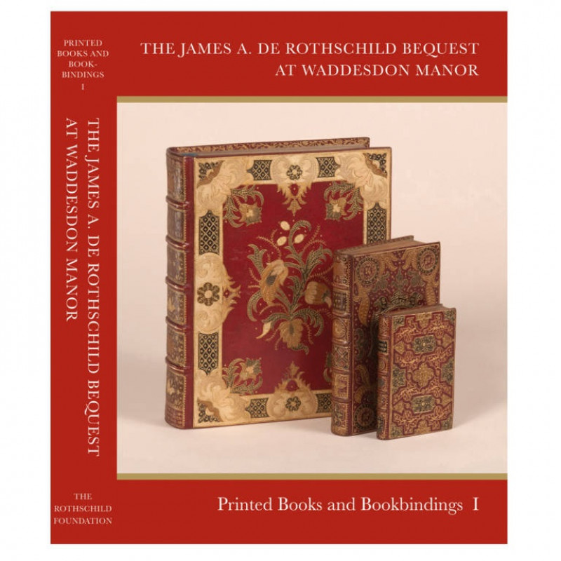
Catalogue of Printed Books and Bookbindings: The J...
BARBER (Giles)
Published for the Rothschild Foundation,
£365.00
Offered by Forest Books
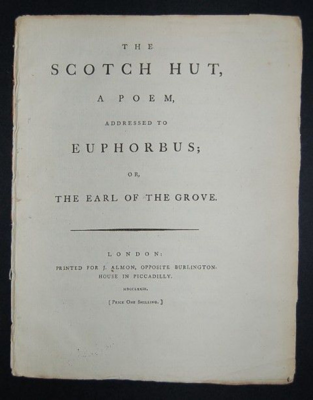
The Scotch Hut, A Poem, Addressed to Euphorbus; or...
POEM.
London: Printed for J. Almon,
£295.00
Offered by Forest Books
Friends of the PBFA
Please email info@pbfa.org for more information