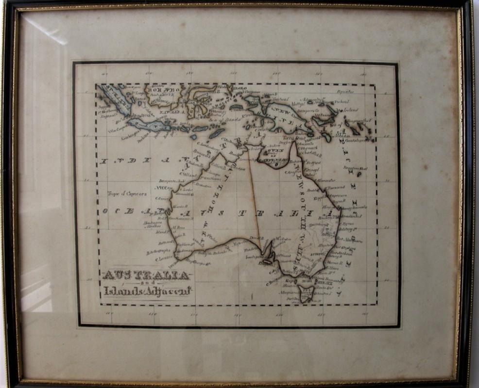
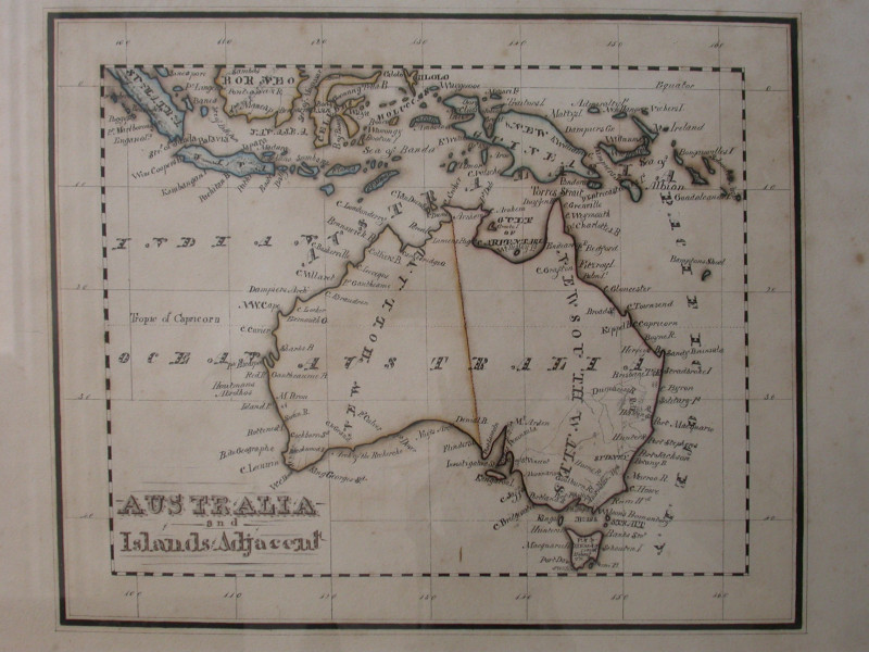
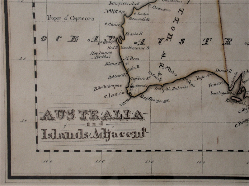
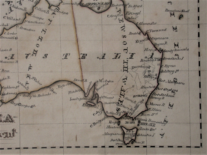
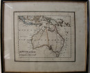
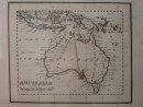
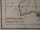
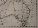
Australia and Islands Adjacent. Hand drawn map in pen and ink with colour outlines.
Book Description
Other books
If you liked the book you've just seen, you might be interested in other books from the same dealer below.
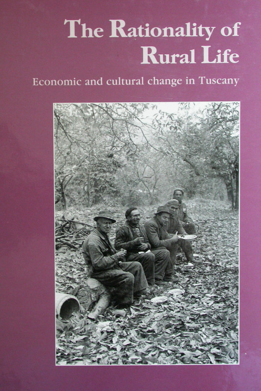
The Rationality of Rural Life. Economic and cultur...
Pratt, Jeff
Harwood Academic Publishers, Chur, Switzerland.
£30.00
Offered by Peter Moore
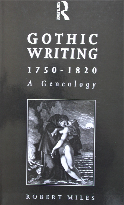
Gothic Writing 1750-1820.
Miles, Robert.
Routledge, London and New York.
£35.00
Offered by Peter Moore
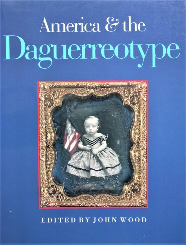
America and the Daguerreotype.
Wood, John (Edited).
University of Iowa Press.
£30.00
Offered by Peter Moore
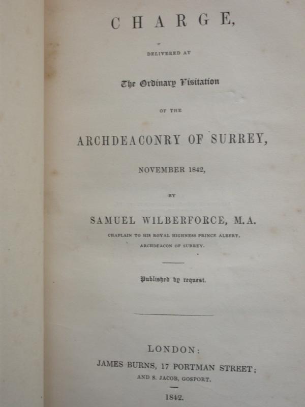
A Charge, Delivered at The Ordinary Visitation of...
Wilberforce, Samuel
James Burns, London.
£20.00
Offered by Peter Moore

'To serve well and faithfully'. Labor and indentur...
Salinger, Sharon V.
Cambridge University Press, Cambridge.
£10.00
Offered by Peter Moore
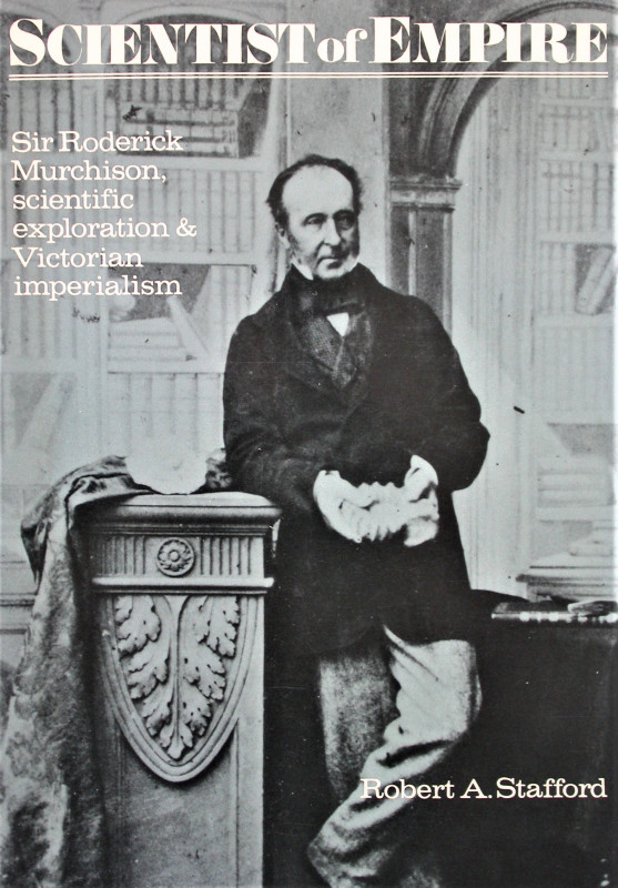
Scientist of Empire. Sir Roderick Murchison, scien...
Stafford, Robert A.
Cambridge University Press, Cambridge.
£25.00
Offered by Peter Moore
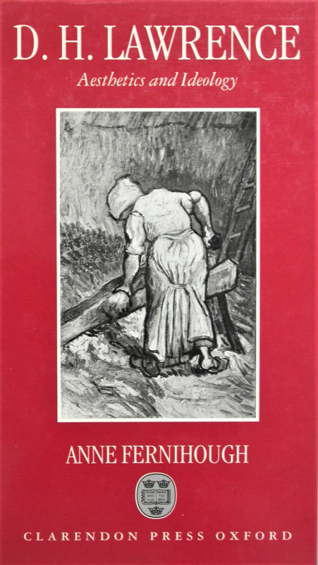
D.H. Lawrence. Aesthetics and Ideology.
Fernihough, Anne.
Clarendon Press, Oxford.
£20.00
Offered by Peter Moore
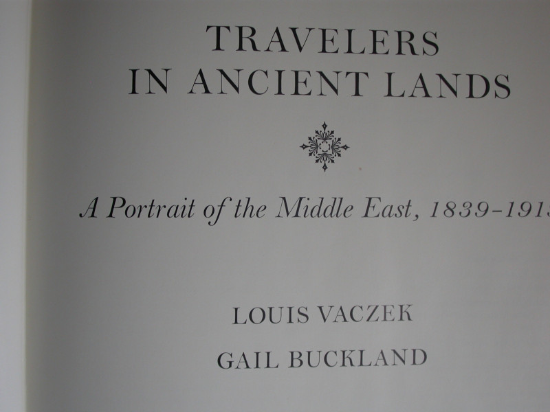
Travellers in Ancient Lands. A Portrait of the Mid...
Vaczek, Louis & Buckland, Gail.
New York Graphic Society, Boston.
£15.00
Offered by Peter Moore
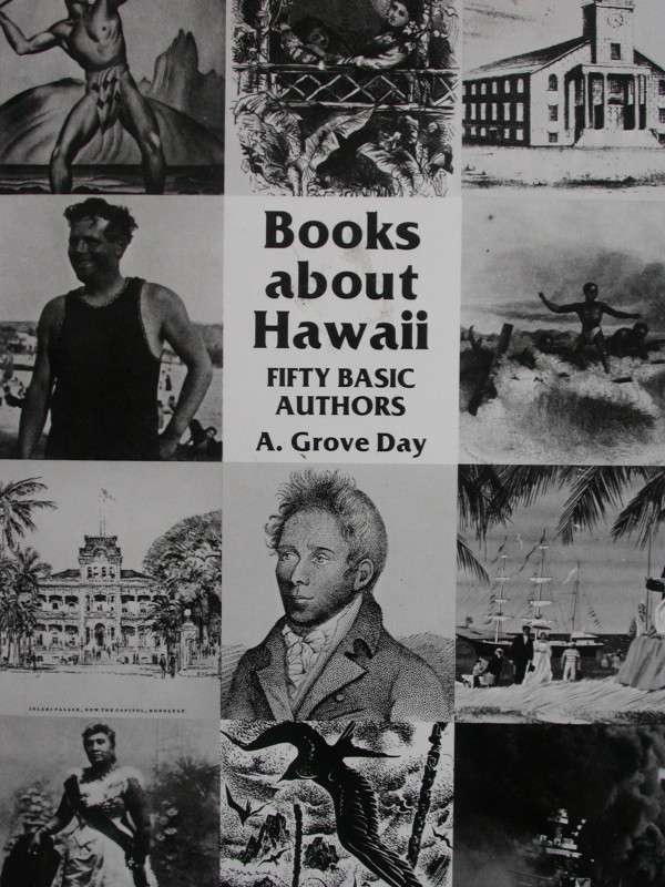
Books about Hawaii. Fifty Basic Authors.
Day, A. Grove.
The University Press of Hawaii, Honolulu
£10.00
Offered by Peter Moore
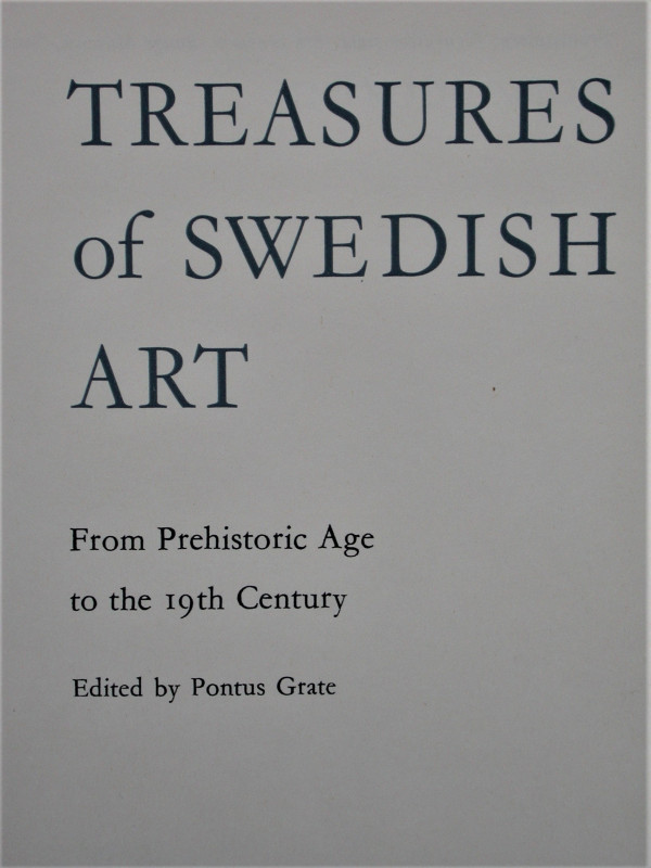
Treasures of Swedish Art. From Prehistoric Age to...
Grate, Pontus.
Allhem Publishers, Malmo.
£20.00
Offered by Peter Moore
Friends of the PBFA
Please email info@pbfa.org for more information