Bacon’s Library Map of India

Book Description
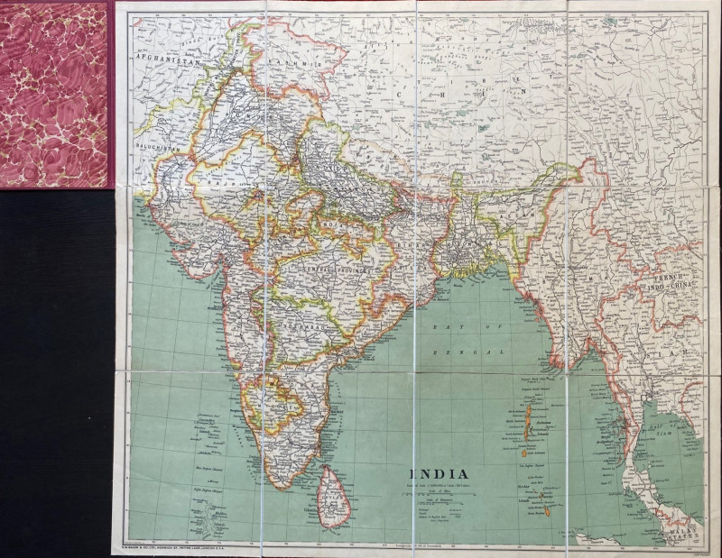
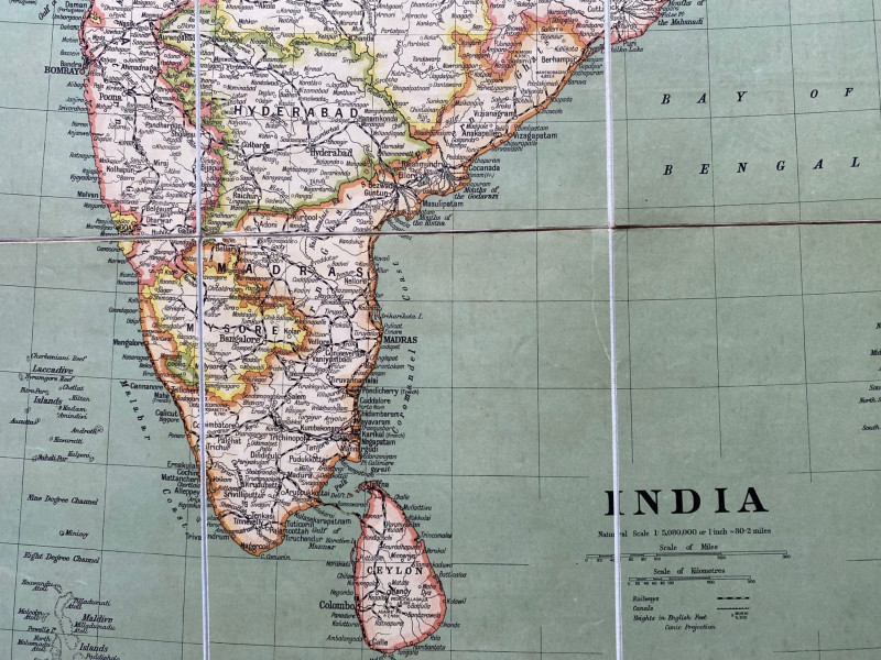
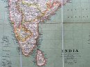
Bacon’s Library Map of India published by Bacon, London circa 1910. On folding linen in 12 sections. size 82 by 75.5 cm. Scale 1:5,080,000 or 80.2 miles to the inch. Colour. A detailed map. Folds into stiff cloth-covered boards with the title gold stamped to the front. Vg condition.
Author
Bacon
Date
1910
Binding
Folds into stiff boards
Publisher
Bacon
Condition
VG
Other books
If you liked the book you've just seen, you might be interested in other books from the same dealer below.
Letters from Japan Being a Description of the Expe...
Lowman
Lowman and Hanford
£175.00
Offered by Arthur Hook
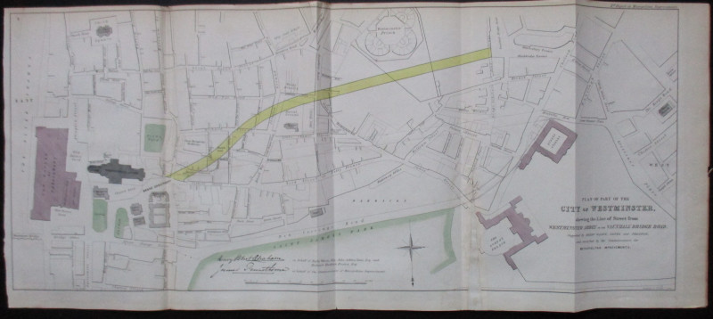
Plan of Part of the City of Westminster shewing th...
Pennethorne and Abrahams
Hansard
£95.00
Offered by Arthur Hook

Friends of the PBFA
For £10 get free entry to our fairs, updates from the PBFA and more.
Please email info@pbfa.org for more information