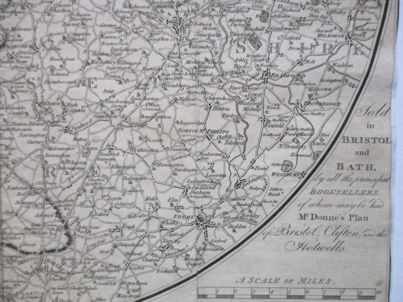
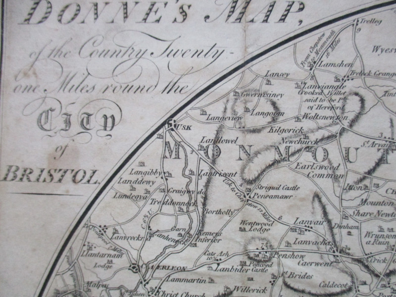
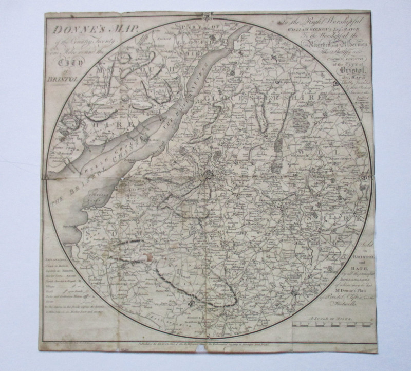
Donne’s Map of the Country Twenty One Miles round Bristol 1801


Book Description
Donne’s Map of the Country Twenty One Miles round Bristol, published by Donne, Montague Street Bristol, June 4th 1801. On paper size 37 by 36 cm. Scale three miles to the inch. A key provides information on market towns, cities, parish churches and chapels, villages, roads, distances, parks and gentlemens’ seats. Heights shown by haching or shading. Uncoloured. Sympathetically restored and laid on soft acid free paper. Lacks a small 1 cm. section outside the magins of the map (now backed). Good condition.
Author
Donne
Date
1801
Binding
Good
Publisher
Donne
Illustrator
Donne
Friends of the PBFA
For £10 get free entry to our fairs, updates from the PBFA and more.
Please email info@pbfa.org for more information
