Geographia Road Map Of England And Wales

Book Description
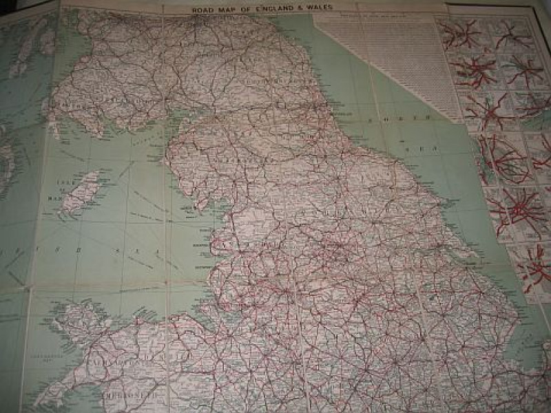
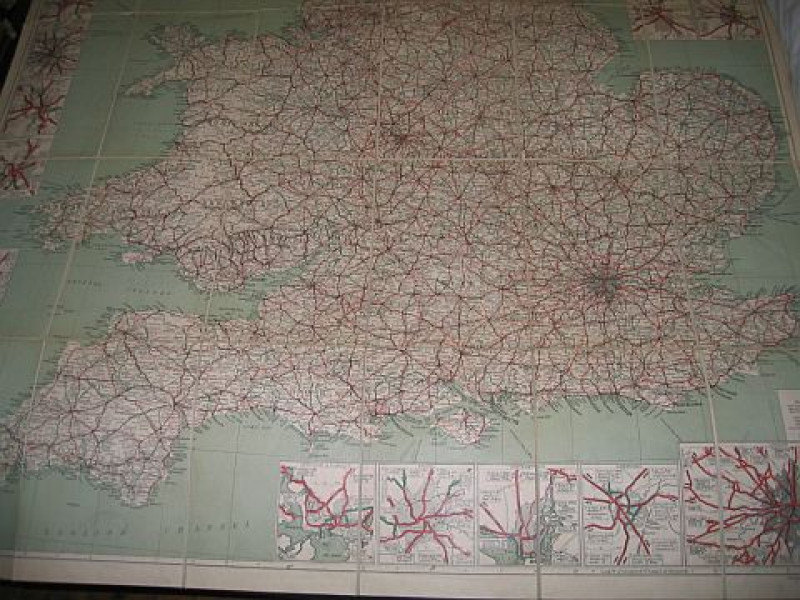
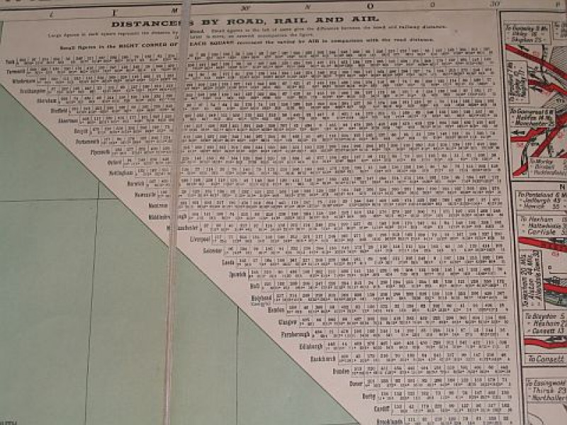
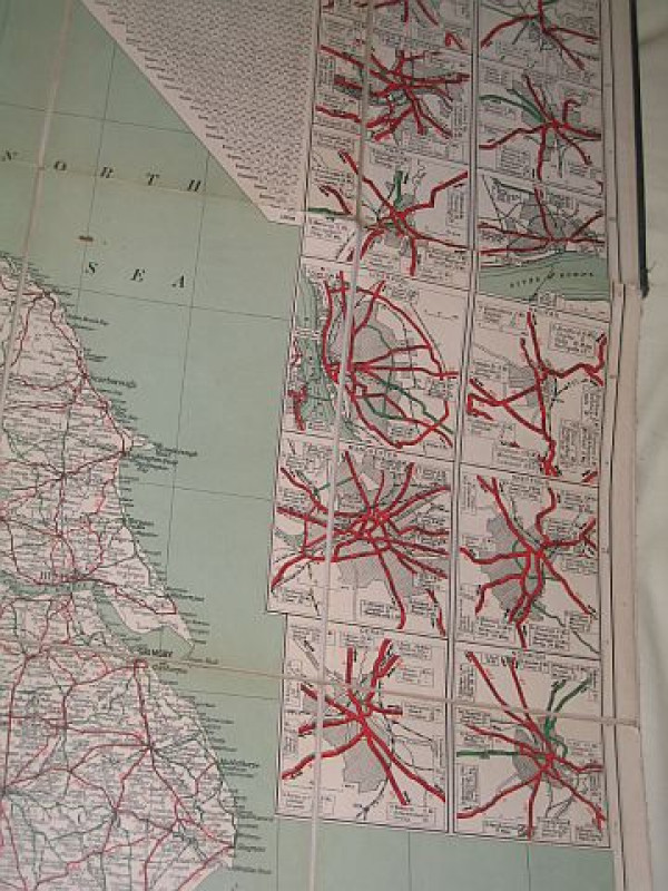
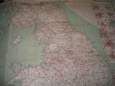
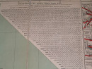
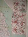
an undated coloured map on 30 linen-backed folded panels in green cloth covers showing the major roads (colour-coded 'A', 'B' & 'Other') with their official Ministry of Transport numbers; inset around the edge of the map are city-centre mini road maps for the larger cities & towns; near the top is a 'Distance By Road, Rail And Air' chart which shows also the difference between road & rail distances & the saving in comparison by air travel.
Dealer Notes
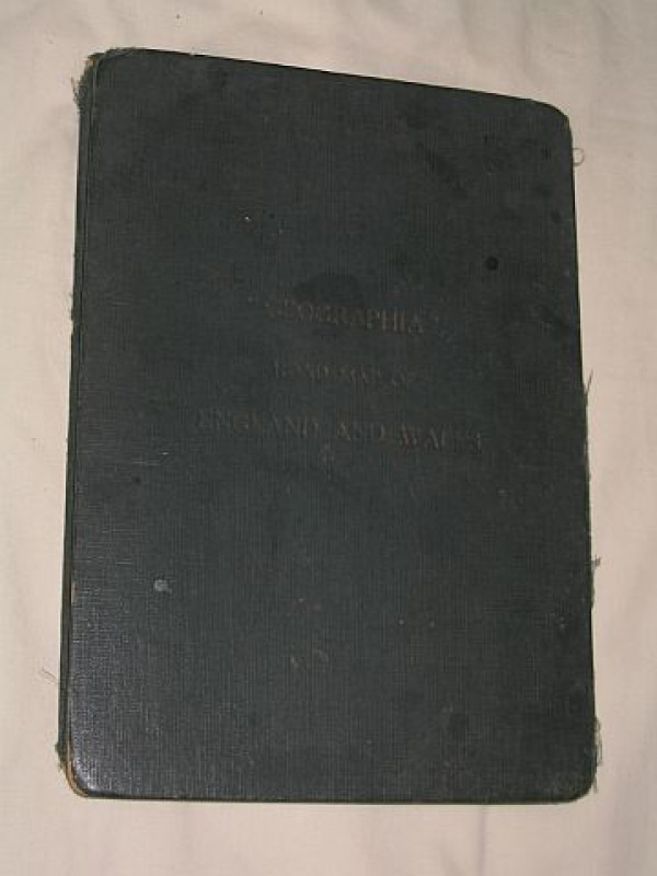
Gilt titles front (faded); Bumping & wear to corners of covers.
Author
n/a.
Date
Circa 1920's/30's
Binding
Green cloth covers
Publisher
Geographia Ltd.; London
Condition
Good Condition
Other books
If you liked the book you've just seen, you might be interested in other books from the same dealer below.
Germany, Bohemia And Hungary Visited in 1837 - Vol...
Gleig, Rev. G. R.
John W. Parker; London
£30.00
Offered by Bookbarrow
Road to Heaven: Encounters with Chinese Hermits
Porter, Bill
Rider; London
£35.00
Offered by Bookbarrow
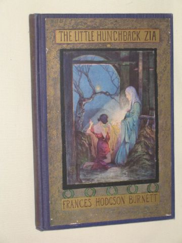
The Little Hunchback Zia
Burnett, Frances Hodgson
Frederick A. Stokes; New York
£20.00
Offered by Bookbarrow
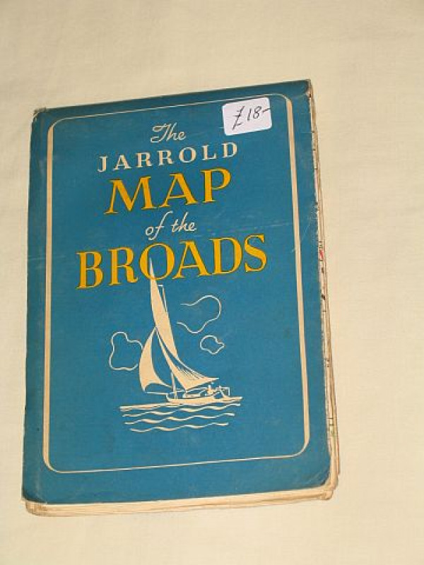
The Jarrold Map of the Broads: What to Do on the N...
Hands, Freda (drawn by)
Jarrold & Sons Ltd.; Norwich, Norfolk
£18.00
Offered by Bookbarrow
The Christian Hero: An Argument Proving that no Pr...
Steele, Richard
Jacob Tonson (London)
£75.00
Offered by Bookbarrow
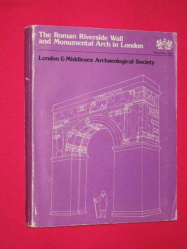
The Roman Riverside Wall and Monumental Arch in Lo...
Hill, Charles; Martin Millett & Thomas Blagg
London & Middlesex Archaeological Society; London
£20.00
Offered by Bookbarrow
Friends of the PBFA
For £10 get free entry to our fairs, updates from the PBFA and more.
Please email info@pbfa.org for more information