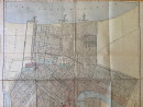
Hammond’s Complete Map of New Orleans

Book Description
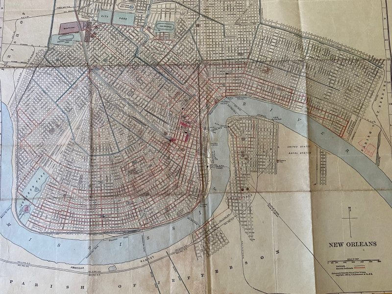
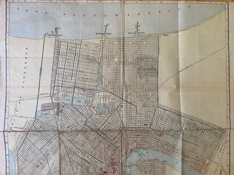
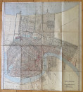
Hammond’s Complete Map of New Orleans, published by Hammonds, New Orleans 1909 On paper size 52 by 48 cm. Scale 2,000 feet to the inch. Some colour, with a key to railroads and electric railroads (trams?). All streets are named. Includes a compass rose, parks, fairgrounds, race tracks, docks, ferry routes, the United States Naval Station etc. Probably originally published with or as part of a guide to New Orleans. Cropped tightly outside the margins. Has been folded. Good condition.
Author
Hammond
Date
1909
Publisher
Hammond
Condition
Good
Other books
If you liked the book you've just seen, you might be interested in other books from the same dealer below.

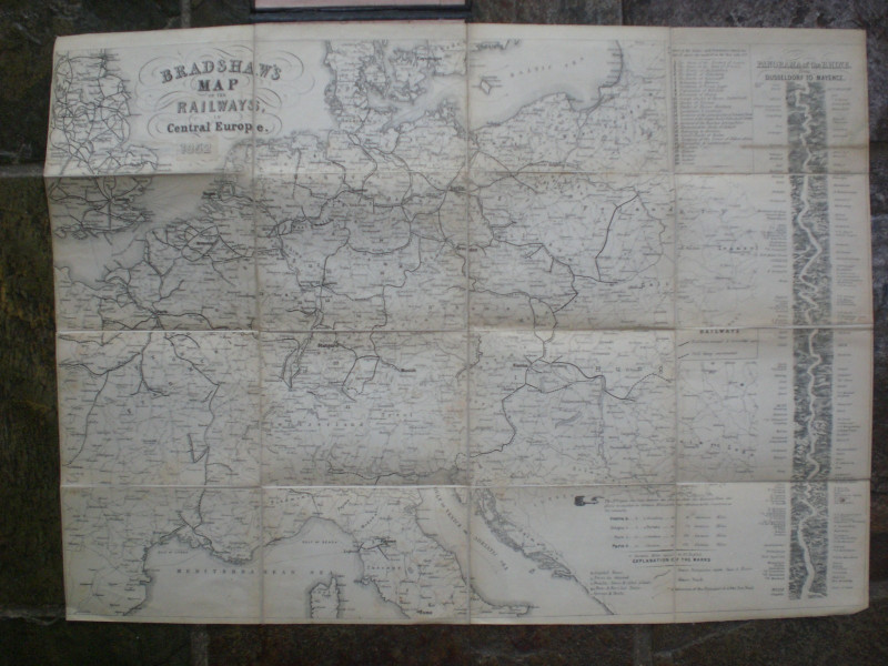
Map of the Port of Manchester & Ship Canal 1902
Falkner
Manchester Ship Canal
£125.00
Offered by Arthur Hook
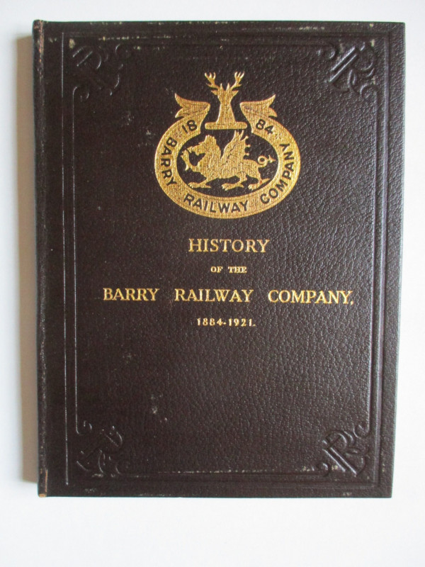
History of the Barry Railway Company 1884-1921
Rimmell
Barry Railway Company
£165.00
Offered by Arthur Hook
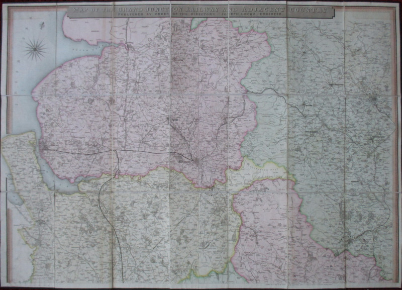
Map of the Grand Junction Railway and Adjacent Cou...
Cheffins
Cheffins
£350.00
Offered by Arthur Hook
Friends of the PBFA
For £10 get free entry to our fairs, updates from the PBFA and more.
Please email info@pbfa.org for more information