Johnston's Atlas of the War 1855
Book Description
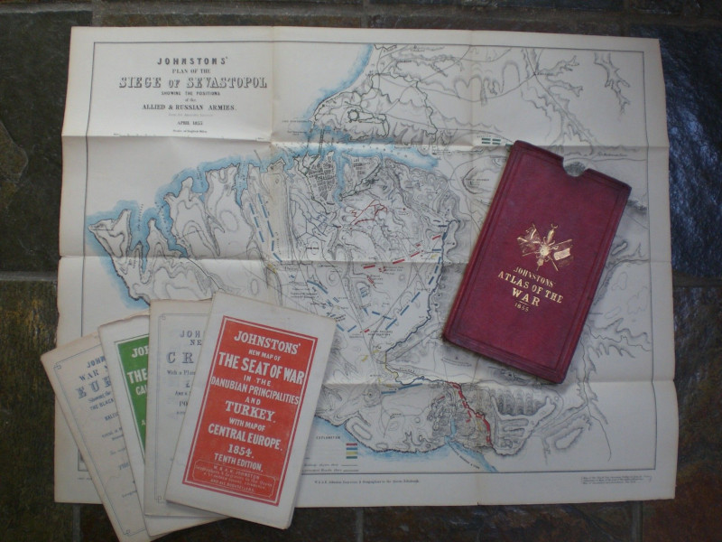
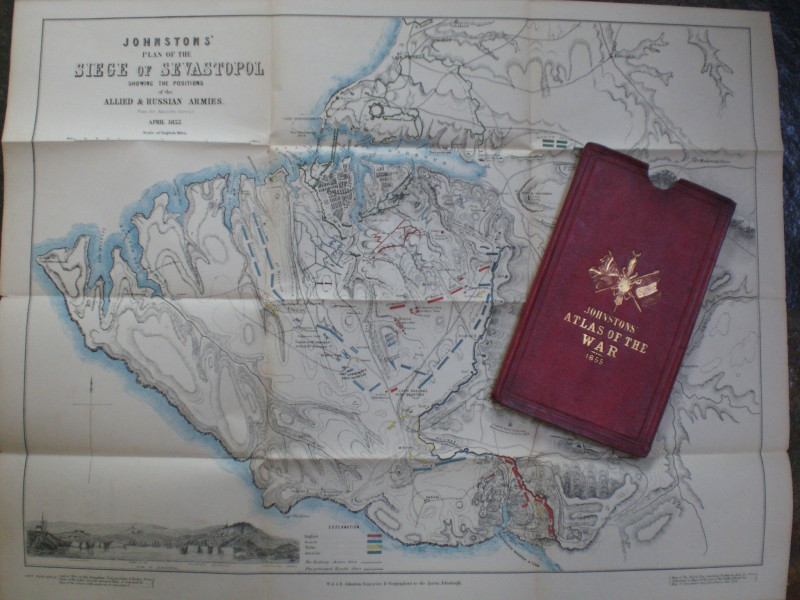
Johnston's Atlas of the War 1855, published by W and A K Johnston, Edinburgh 1855. 6 folding maps on paper in original decorated red slipcase. The maps are: New Map of the Seat of War in the Danubian Principalities and Turkey with Maps of Central Europe 1854 (10th edition); New Chart of the Baltic Sea with enlarged plans of Cronstandt, Sveaborg, Revel, Port Baltic & Gulf of Riga 1854 (4th edition); New Map of the Crimea 1855; New Map of The Black Sea, Caucasus, Crimea etc., with enlarged plans of Sevastopol as seen by the Officers of HMSF Retribution 6th January 1854 and the Bosphorus 1854; Johnston's War Map of Europe 1855 Showing the Seat of Operations in the Black Sea & Sea of Azov, the Baltic and White Seas, positions of Naval and Military Engagements, Bessarabia, Poland, the Ukraine etc., the original area, progressive extent, and present limits of the Russia Empire 1855; and Johnston's Plan of the Siege of Sevastopol April 1855. Average map size 69 by 53 cm. Some hand-colouring and a vignette of Sevastopol. Good to VG condition with occasional strengthening of folds to reverse with archival standard clear tape and restoration of the corners of the slipcase.
Author
Johnston
Date
1855
Binding
Maps in slipcase
Publisher
1855
Condition
Good to VG
Other books
If you liked the book you've just seen, you might be interested in other books from the same dealer below.

Cruchley’s County Atlas of England and Wales shewi...
Cruchley
Cruchley
£425.00
Offered by Arthur Hook
London Railway Map Carriage Print. Southern Electr...
Southern Electric
Southern Electric
£90.00
Offered by Arthur Hook
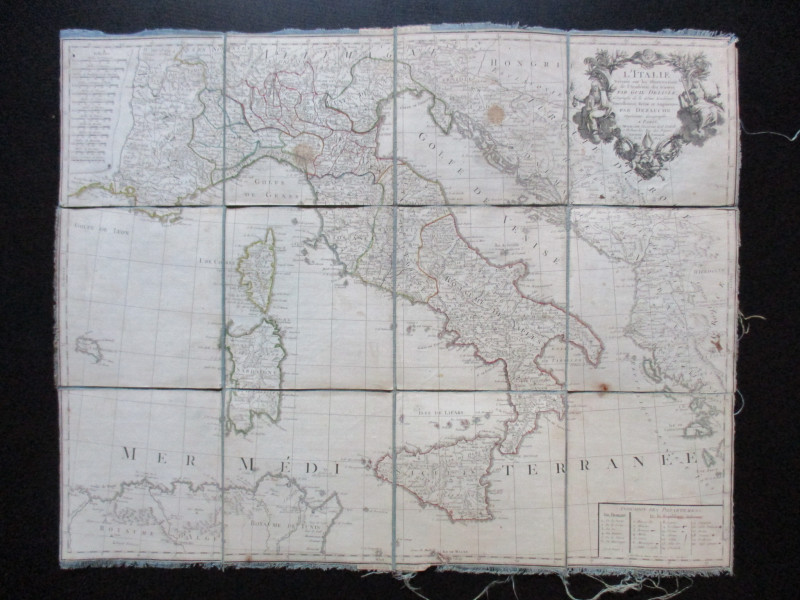
Map of Italy. L'Italie Dresse sur les Observations...
Delisle
Dezauche
£105.00
Offered by Arthur Hook
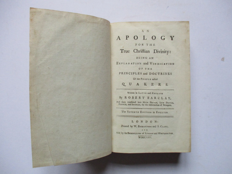
An Apology for the True Christian Divinity: being...
Barclay
Richardson and Clark
£100.00
Offered by Arthur Hook
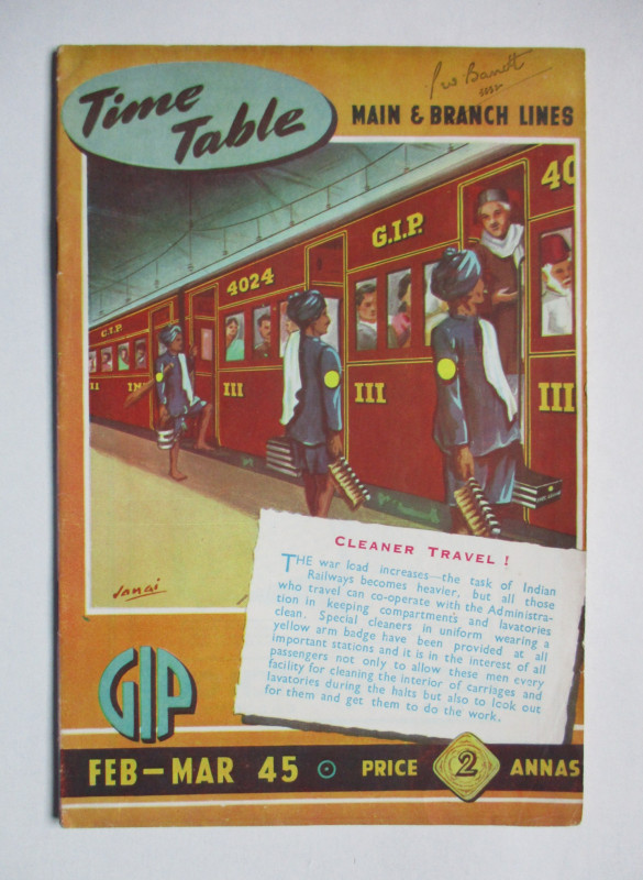
Great Indian Peninsula Railway timetable of Main a...
Great Indian Peninsula Railway
Great Indian Peninsula Railway
£55.00
Offered by Arthur Hook
Friends of the PBFA
For £10 get free entry to our fairs, updates from the PBFA and more.
Please email info@pbfa.org for more information