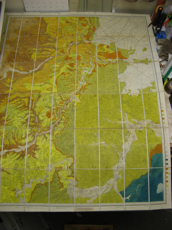
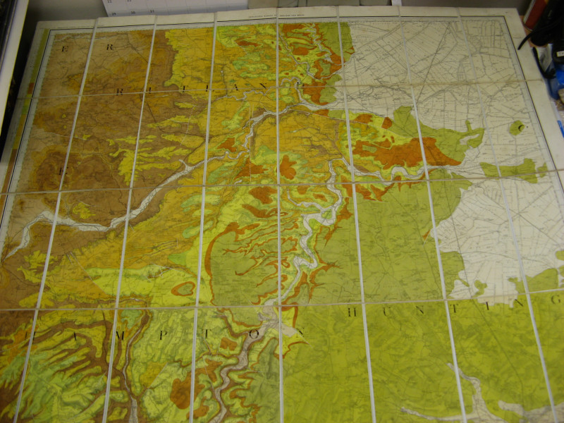
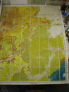
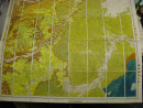
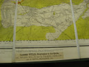
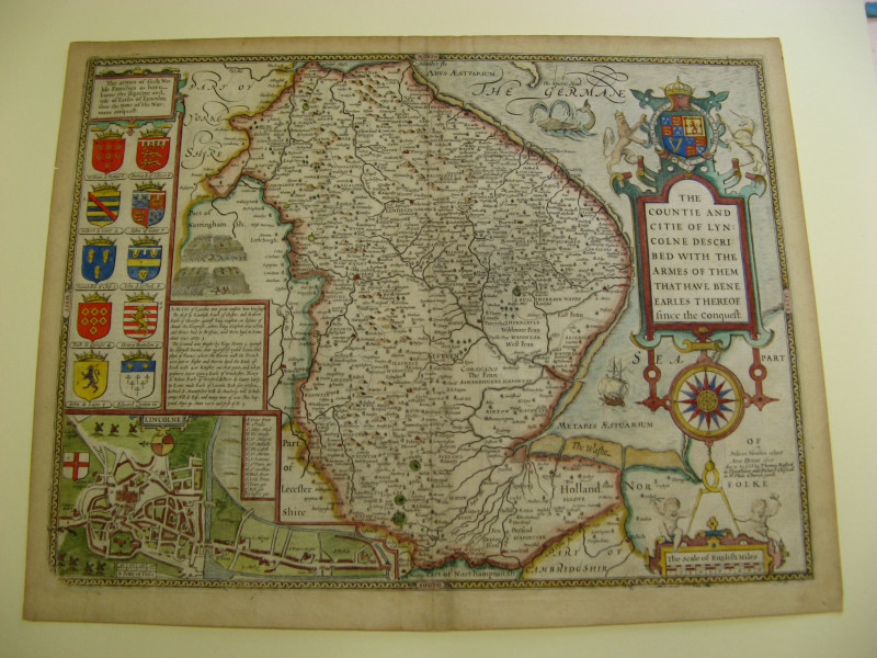
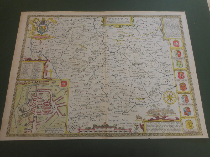
LARGE GEOLOGICAL MAP OF RUTLAND NORTHAMPTONSHIRE AREAS


Book Description
100% ORIGINAL LARGE GEOLOGICAL RUTLAND NORTHANDS HUNTS BEDS LINCS MAP
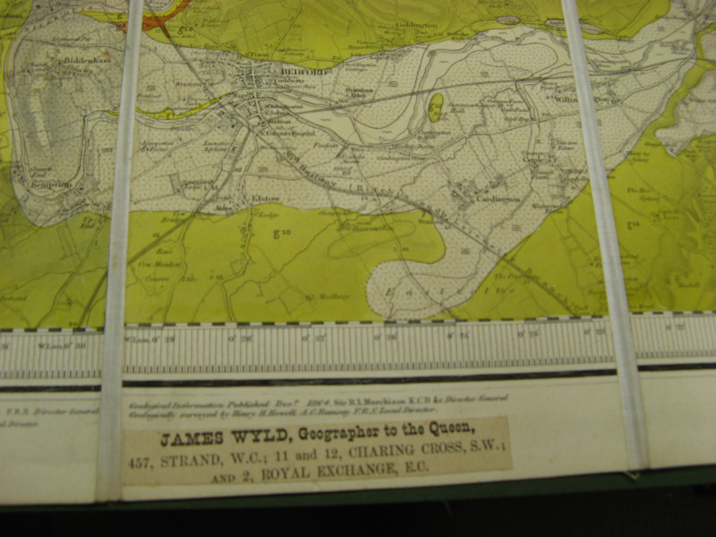
BY MURCHISON J WYLD C1870
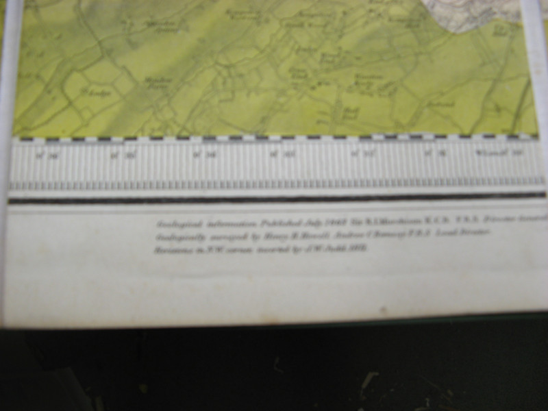
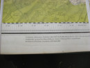
FULLY GEOLOGICALLY COLOURED WITH KEY TO MARGINS
MAP COVERS SOUTH LINCS DOWN TO BEDFORD IN THE SOUTH
1270MM X 1010MM ORIGINAL COLOUR
MAP IN VERY GOOD CONDITION NO TEARS NO REPAIRS
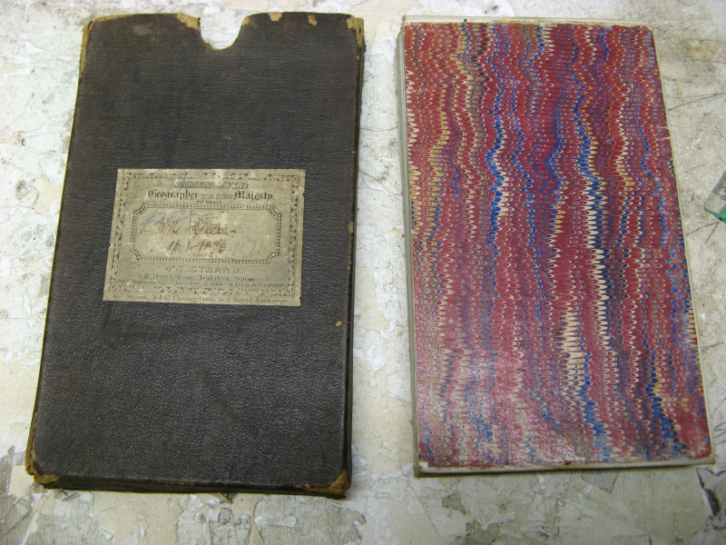
FOLDING MAP ON LINEN
OUTER SLIPCASE OK/GOOD LIGHT WEAR ONLY
Author
JAMES WYLD AND MURCHISON
Date
1871
Binding
MAP
Condition
VGC
Other books
If you liked the book you've just seen, you might be interested in other books from the same dealer below.
HARRY POTTER ADULT EDITION X6 VOLUME BOXED SET
J K ROWLING
BLOOMSBURY
£295.00
Offered by Claremont Books and Prints
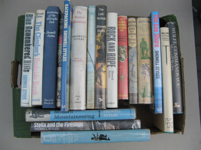
SHOWELL STYLES BOOK COLLECTION X18 BOOKS
SHOWELL STYLES
£95.00
Offered by Claremont Books and Prints
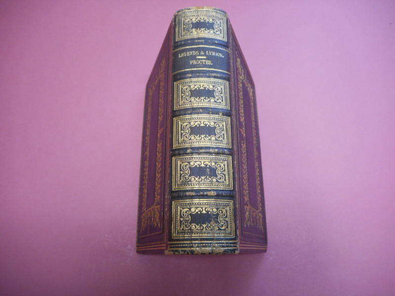
LEGENDS AND LYRICS
ADELAIDE ANNE PROCTER
BELL AND DALDY
£15.00
Offered by Claremont Books and Prints
Friends of the PBFA
For £10 get free entry to our fairs, updates from the PBFA and more.
Please email info@pbfa.org for more information