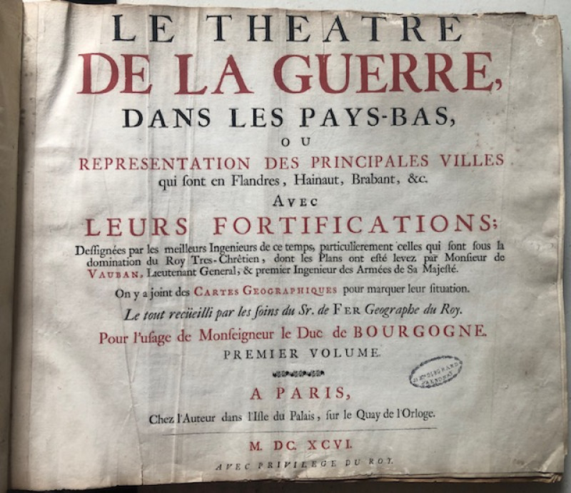
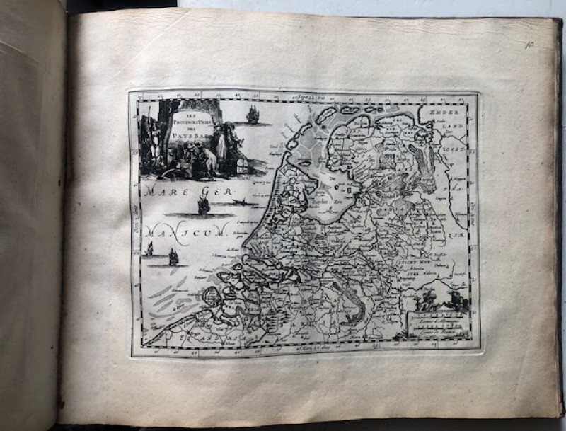
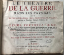
Le Theatre De La Guerre, Dans Les Pays-Bas, Ou Representation Des Principales Villes qui sont en Flandres (...) Part I-II.


Book Description
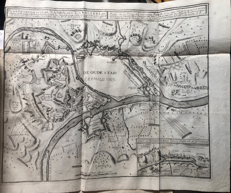
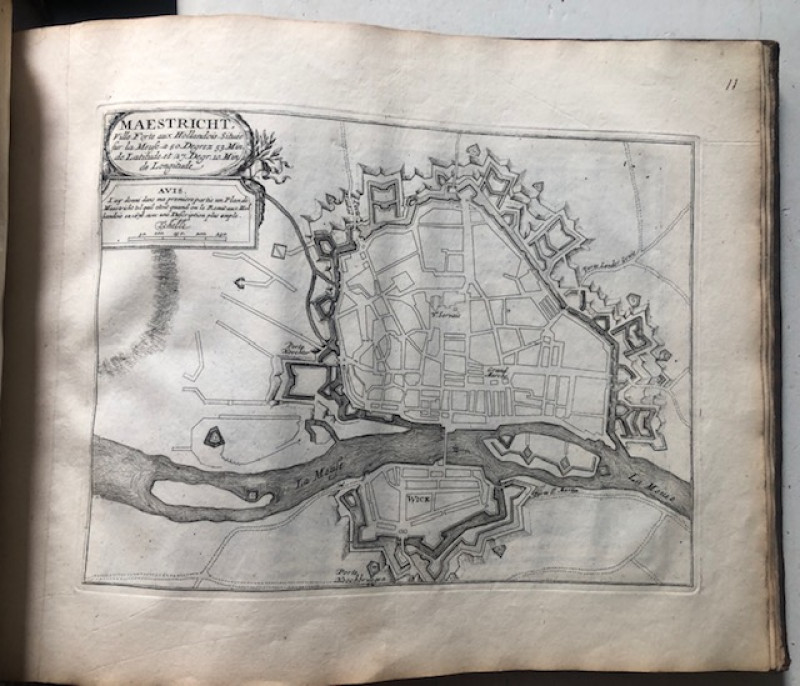
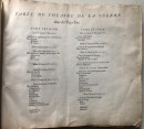
[Atlases. Low Countries]. Fer, Nicolas de (1646-1720). Le Theatre De La Guerre, Dans Les Pays-Bas, Ou Representation Des Principales Villes qui sont en Flandres, Hainaut, Brabant, &c. Avec Leurs Fortifications; Dessignees par les meilleurs Ingenieurs de ce temps (...). Premier - Deuxieme Volume. [Part I - II, complete].
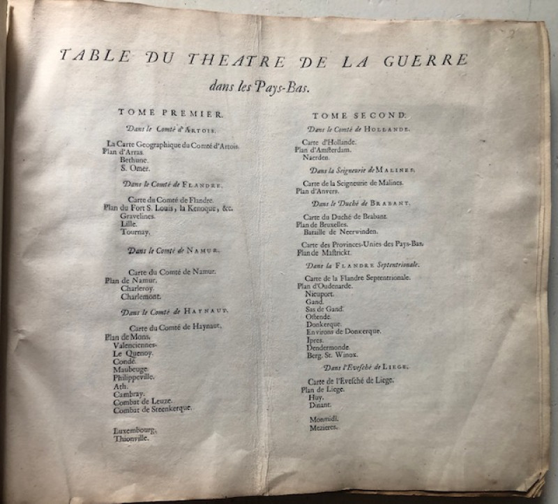
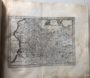
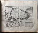
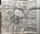
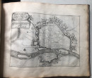
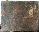
“A Paris, Chez l’Auteur (...)" [= Amsterdam, P. Mortier?], 1696. 1st edition, 2 parts in 1 vol. comprising: 2 letterpress title-leaves, 1 letterpress index-leaf and resp. 26 & 27 engraved maps/ (fortification) plans (of which 1 fold.), contemporary calf with gilt ribbed spine, oblong small folio (ca. 29 x 35,5 cm.).
Dealer Notes
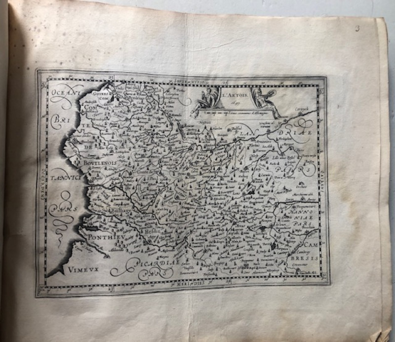
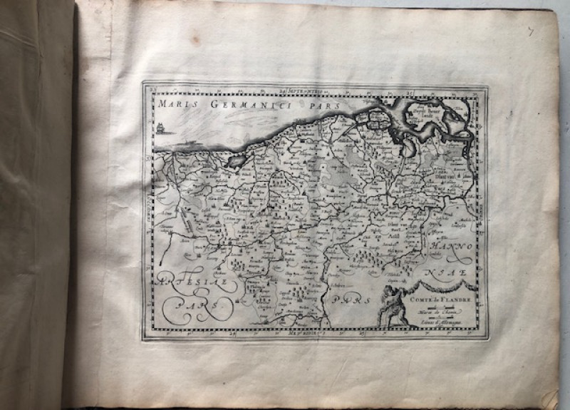
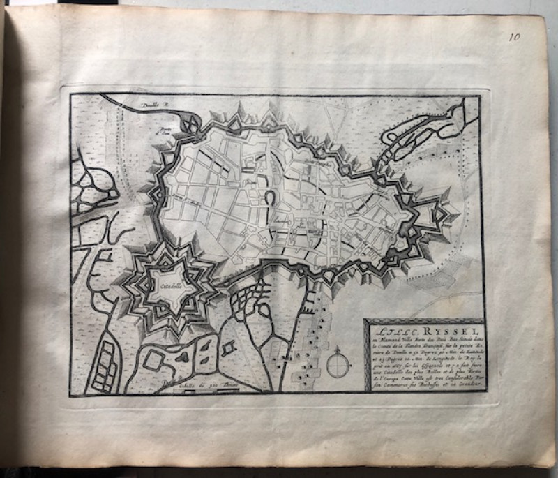
= Cf. Koeman (Atlantes Neerlandici) III, p.17 (note). Rare first edition (printed with wide margins) of a late 17th-cent. military atlas of mainly the Southern Netherlands by the French cartographer Nicolas de Fer (1646-1720) comprising 10 maps (probably engraved by the Flemish print-maker Pieter van den Keere (1571-ca. 1646), all dated “1697” in the plate) & 43 (fortification) plans designed by i.a. the French military engineer Sébastien Le Prestre de Vauban (1633-1707) depicting i.a. Amsterdam, Anvers (Antwerp), Arras, Bruxelles (Brussels), Charleroi, Dendermonde, Dinant, Dunkirk, Gand (Ghent), Gravelines, Huy, Liège, Lille, Luxembourg, Maastricht, Malines, Mons, Naarden, Namen, Nieuwpoort, Oostende, Tournay, Valenciennes and Ypres.
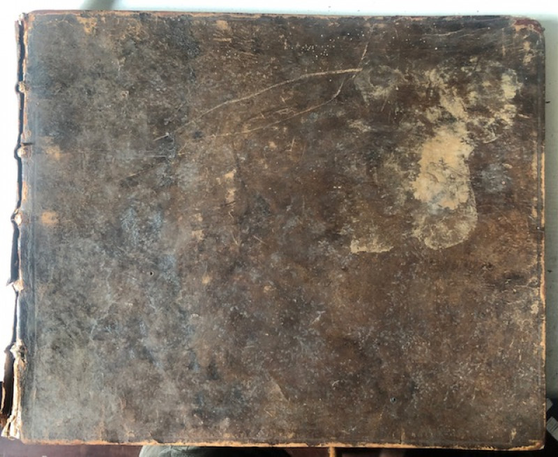
Binding partly rubbed/ worn and upper joint split; small portion of backstrip missing at foot; small old owner’s stamp on first title; upper blank margin of first title-leaf sl. frayed/ torn; first free endpaper cut short; partly waterstained/ slightly moulded in inner blank margin. The maps generally in a very acceptable interior condition.
Binding partly rubbed/ worn and upper joint split; small portion of backstrip missing at foot; small old owner’s stamp on first title; upper blank margin of first title-leaf sl. frayed/ torn; first free endpaper cut short; partly waterstained/ slightly moulded in inner blank margin. The maps generally in a very acceptable interior condition.
Author
Fer, Nicolas de (1646-1720).
Date
1696
Binding
contemporary calf with gilt ribbed spine, oblong small folio
Publisher
Chez l’Auteur (...)" [= Amsterdam, P. Mortier?]
Condition
Binding partly rubbed/ worn and upper joint split; various imperfections (see below)
Pages
2 titles, index and 26 & 27 engr. maps/ plans
Price: £1900.00
Offered by Fahrenheit 451 Antiquarian Booksellers
Friends of the PBFA
For £10 get free entry to our fairs, updates from the PBFA and more.
Please email info@pbfa.org for more information
