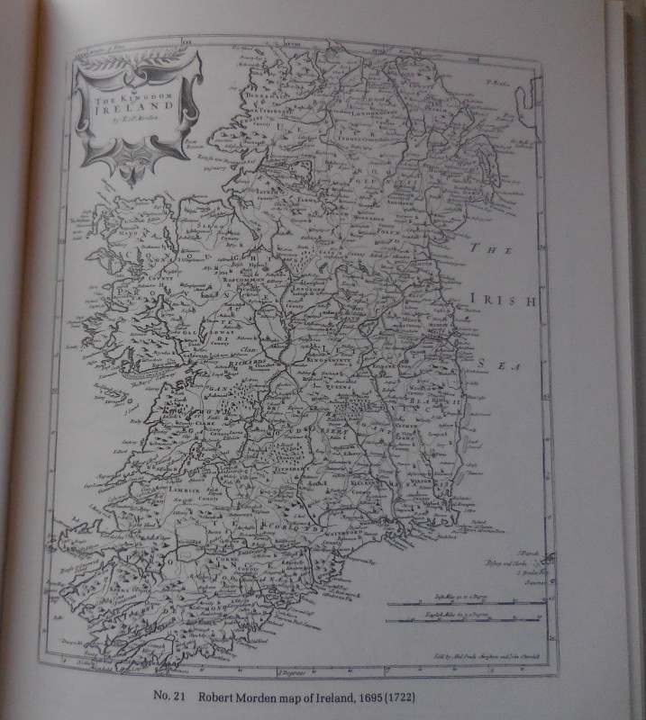
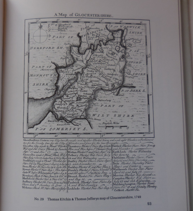
Looking at Old Maps


Book Description
Dealer Notes
Other books
If you liked the book you've just seen, you might be interested in other books from the same dealer below.
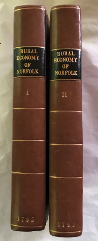
The Rural Economy of Norfolk: comprising the Manag...
Marshall, William
G. Nichols
£175.00
Offered by Missing Books
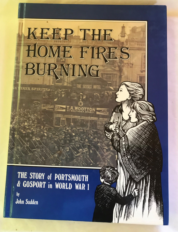
Keep the Home Fires Burning - the story of Portsmo...
Sadden, John
Portsmouth Publishing
£10.00
Offered by Missing Books
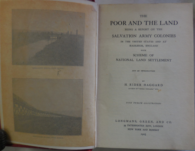
The Poor and The Land - being a report on the Salv...
Haggard, H. Rider
Longmans, Green & Co
£60.00
Offered by Missing Books
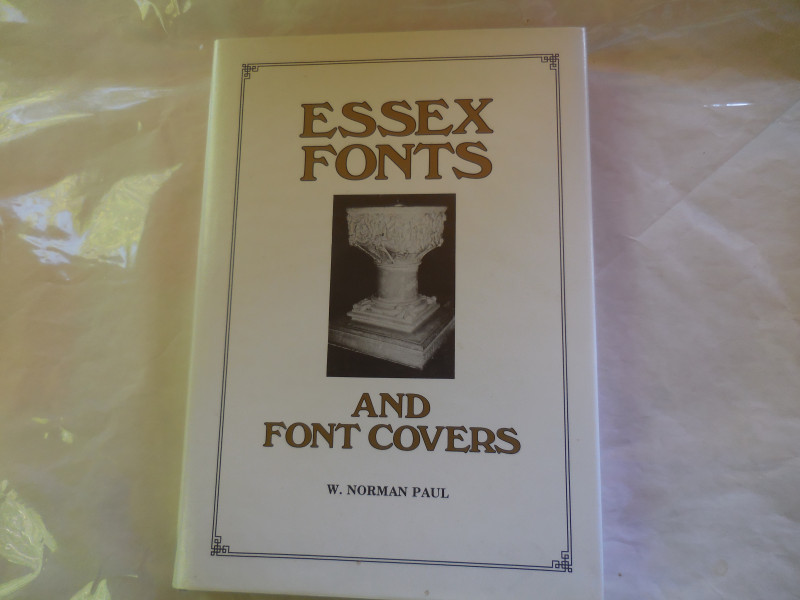
Essex Fonts and Font Covers (Norman to nineteenth...
Paul, W. Norman
Egon Publishing
£25.00
Offered by Missing Books
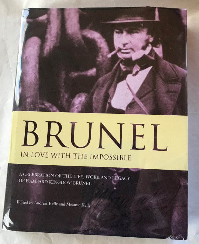
Brunel, in love with the impossible. A celebration...
Kelly, Andrew & Melanie (eds)
Bristol Cultural Development Partnership
£12.50
Offered by Missing Books
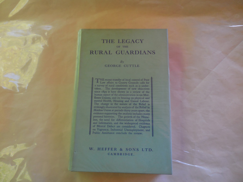
The Legacy of the Rural Guardians - a study of con...
Cuttle, George
W. Heffer & Sons Ltd
£7.50
Offered by Missing Books
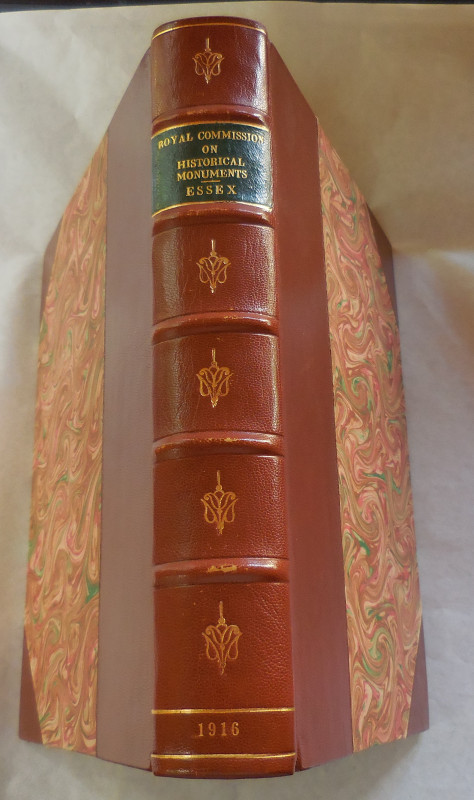
An Inventory of the Historical Monuments in Essex,...
Royal Commission on Historical Monuments
HMSO
£85.00
Offered by Missing Books

The Bird Paintings of Henry Jones (Ltd Edit)
Campbell, Bruce
Folio Fine Editions
£375.00
Offered by Missing Books
Friends of the PBFA
Please email info@pbfa.org for more information