Manuscript County Maps 1856

Book Description
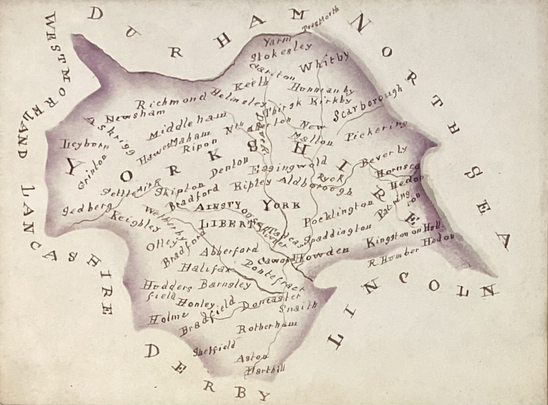
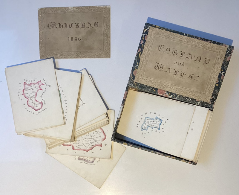
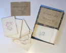
Manuscript Maps of English and Welsh Counties dated 1856 on manuscript card. 47 Ink and watercolour maps on cards, of English and Welsh counties, all edges gilt, each map approx 9.5 cm x 13.0 cm. Titled on contemporary embossed cards in manuscript “England and Wales” laid inside the lid of a modern card box with marbled design a further card similar with “ Whickham 1856” laid loosely on top of the map cards. The maps are carefully produced, and each show the names of bordering counties, principal towns and rivers and are bordered in coloured wash. Whickham might be the family name of the artist or possibly relate to the place of their production. We think that the cards might have been made to be an educational toy with players being challenged to name the bordering counties etc.
Whickham is a village in Tyne and Wear, North East England, within the Metropolitan Borough of Gateshead. The village is on high ground overlooking the River Tyne, and 5 miles (8 km) south-west of Newcastle upon Tyne. [Wikipedia] As a family name Whickham is predominant in the North East of England.
Author
Anon
Publisher
Unpublished manusctipt
Illustrator
Illustrated
Friends of the PBFA
For £10 get free entry to our fairs, updates from the PBFA and more.
Please email info@pbfa.org for more information
