Map: Corea & Japan
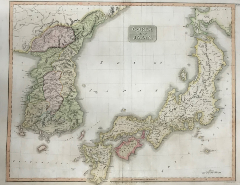
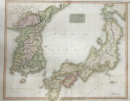
Book Description
Dealer Notes
Other books
If you liked the book you've just seen, you might be interested in other books from the same dealer below.
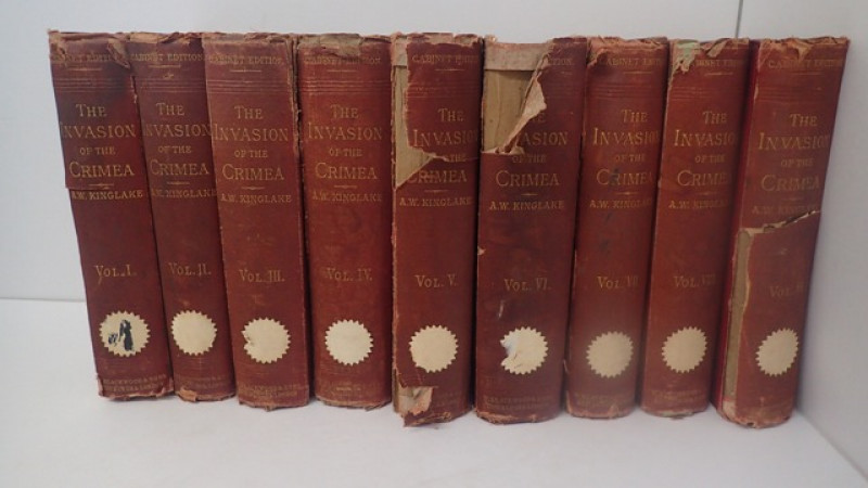
The Invasion of the Crimea: Its Origin and an Acco...
KINGLAKE, A W
William Blackwood and Sons
£150.00
Offered by Yatton Books & Prints
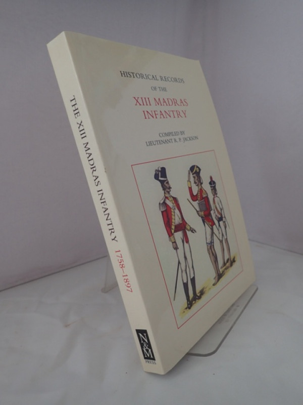
Histsorical Records of the XIII Madras Infantry
JACKSON, R P (Lieutenant)
The Naval and Military Press
£25.00
Offered by Yatton Books & Prints
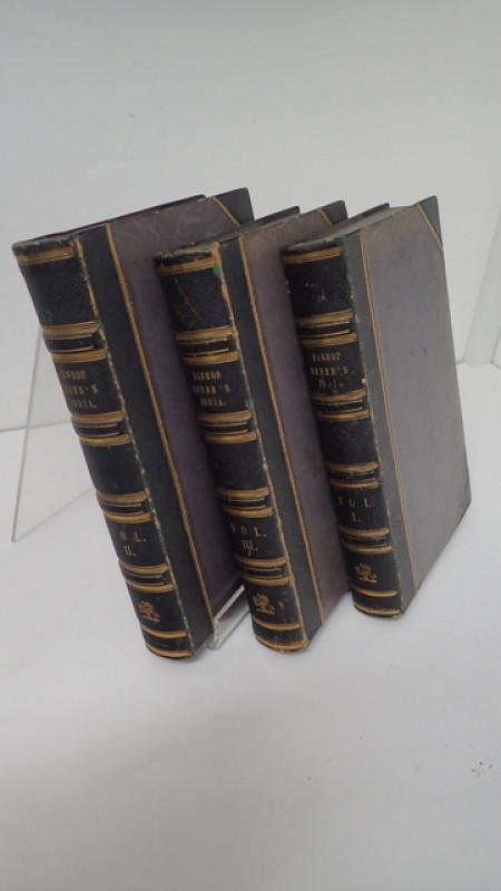
Narrative of a Journey Through the Upper Provinces...
HEBER, Reginald
John Murray
£185.00
Offered by Yatton Books & Prints
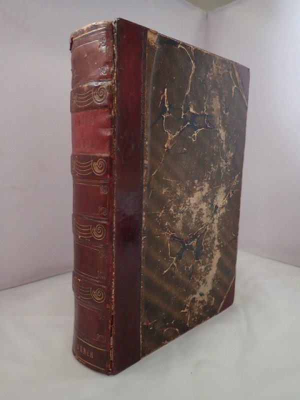
The History of China & India, Pictorial & Descript...
CORNER, Julia (Miss)
Dean & Co, London
£250.00
Offered by Yatton Books & Prints
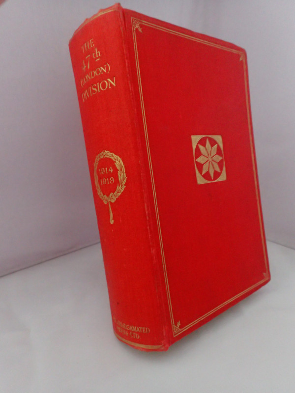
The 47th (London) Division 1914-1919 By Some Who S...
MAUDE, Alan H
Amalgamated Press (1922) Ltd
£48.00
Offered by Yatton Books & Prints
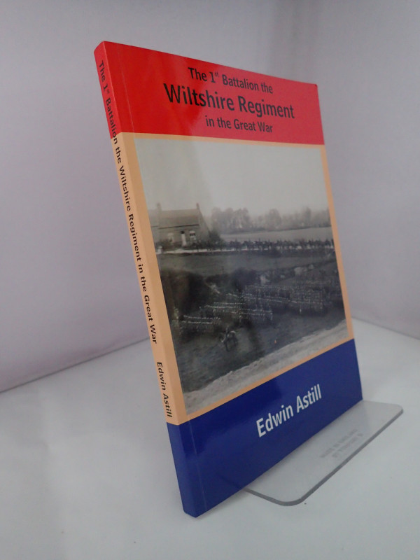
The 1st Battalion the Wiltshire Regiment in the Gr...
ASTILL, Edwin
RGBW (Salisbury) Museum
£30.00
Offered by Yatton Books & Prints

Combat Codes: A Full Explanation and Listing of Br...
FLINTHAM, Vic & THOMAS, Andrew
Airlife Publishing Ltd
£15.00
Offered by Yatton Books & Prints
The History of the Troubles and Memorable Transact...
SPALDING, John
John Rettie, Aberdeen
£55.00
Offered by Yatton Books & Prints
Friends of the PBFA
Please email info@pbfa.org for more information