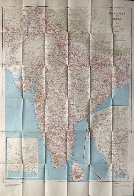
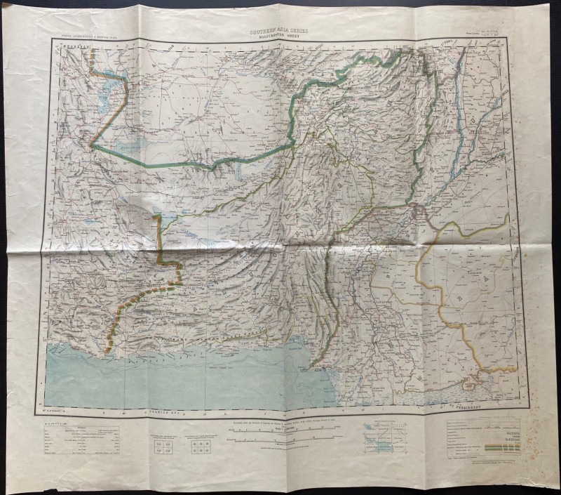
Map of Baluchistan
Book Description
Map of Baluchistan published by the Survey of India under the direction of Colonel Burrard, Calcutta 1914. On paper size 68 by 60 cm. Scale 1:2,000,000. Colour. With parts of Afghanistan, India and Persia. With a colour-coded key to features such as railways of various gauges, tribal names, roads fit for wheeled traffic, places of archaeological interest etc. and with a glossary of Arabic and persian terms used in the map. Some minor foxing outside the margins. Has been folded. Good to VG condition.
Author
Burrard
Date
1914
Publisher
Survey of India
Condition
Good to VG
Friends of the PBFA
For £10 get free entry to our fairs, updates from the PBFA and more.
Please email info@pbfa.org for more information
