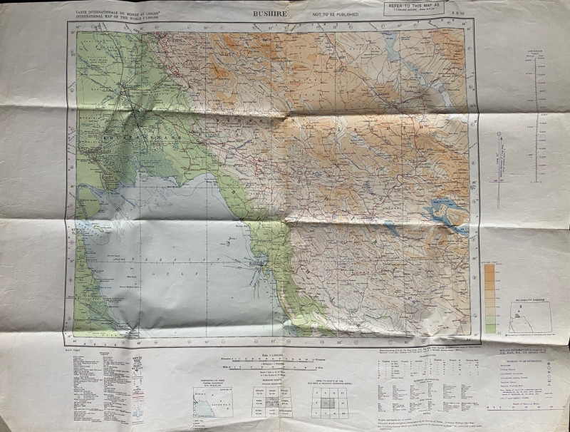
Map of Bushire (Persian Gulf) 1942

Book Description
Map of Bushire (Persian Gulf) 1942. Compiled from a map published by the Survey of India of 1940, reproduced by 512 (Advanced Field Survey) Company. RE February 1942. Coded N-H39 and MDR 1/880. On paper size 85 by 63 cm. Scale 1:1,000,000. Colour. The map includes parts of Iran and Kuwait plus a small area of Saudi Arabia. A key in English and French has over 40 features including oil wells, railways, roads, caravan halting places and rest houses. There is a second key to air information such as aerodromes (actual and unconfirmed); landing grounds (actual and unconfirmed) and to seaplane stations etc. There are also glossaries of terms used in the maps in Arabic and Iranian.Has been folded. Good to Vg condition.
Author
Anon
Date
1942
Publisher
Survey of India
Condition
VG
Friends of the PBFA
For £10 get free entry to our fairs, updates from the PBFA and more.
Please email info@pbfa.org for more information
