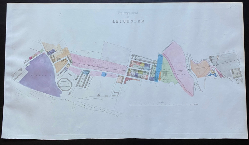
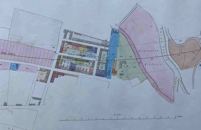
Map of Central Leicester 1845


Book Description
Map of Leicester, including the County House of Correction, Braunston Gate and Great Holme Street with the River Soar and the Great Union Canal, an enlarged plan on a scale of 2 chains to the inch or 42 inches to the mile. One of a series of plans and sections by Rennie, Rastrick and Remington for a London to Manchester railway line printed and published by Arrowsmith 1845. Hand coloured.
Author
Rennie
Date
1845
Publisher
Arrowsmith
Condition
VG
Other books
If you liked the book you've just seen, you might be interested in other books from the same dealer below.
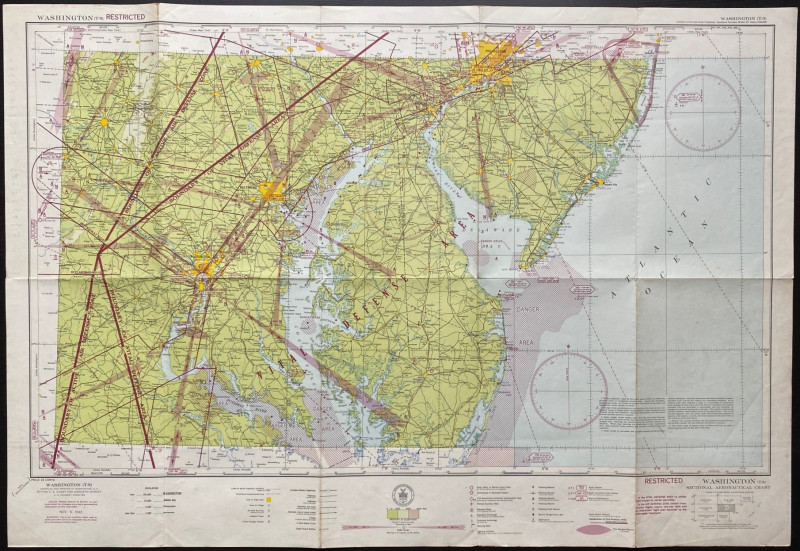
Map of Washington Air Defence Zone 1942
Colbert
US Coast and Geodetic Survey
Reserved
Offered by Arthur Hook
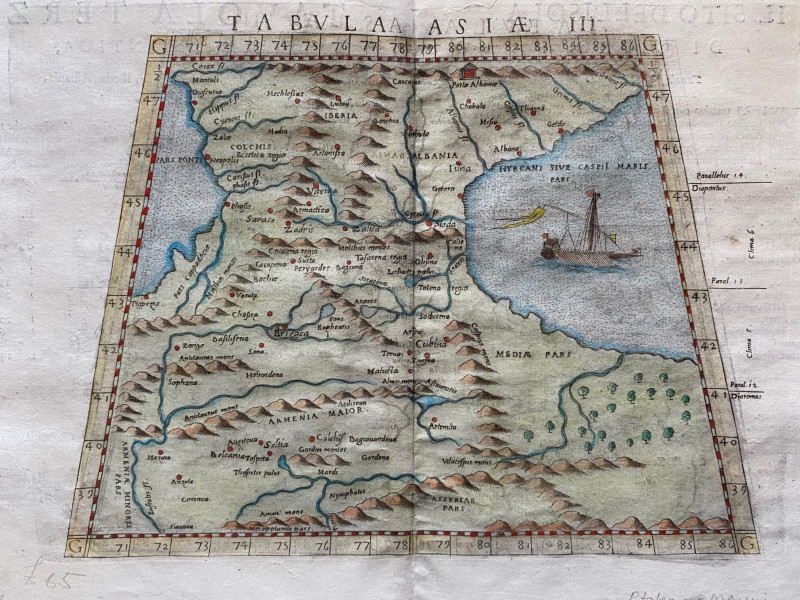
Ptolemy Map of the Caucasus Region: Armenia and pa...
Ptolomey
Pirckheimer
£85.00
Offered by Arthur Hook
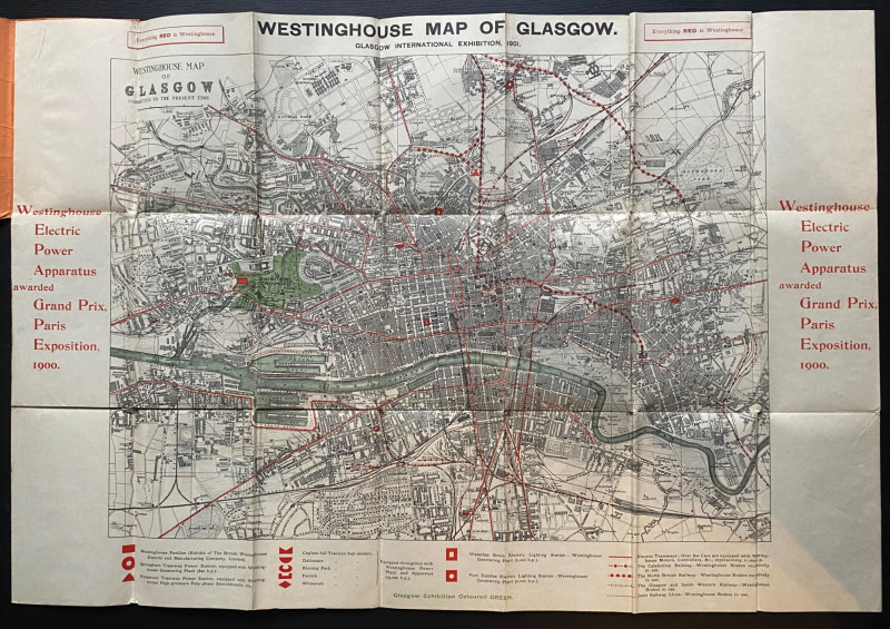
The Westinghouse Map of Glasgow: Glasgow Internati...
Anon
Westinghouse
£100.00
Offered by Arthur Hook
London : The Heart of the Empire You Came to Defen...
Anon
Photocrom Company
£60.00
Offered by Arthur Hook
Friends of the PBFA
For £10 get free entry to our fairs, updates from the PBFA and more.
Please email info@pbfa.org for more information