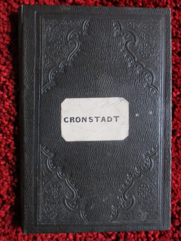
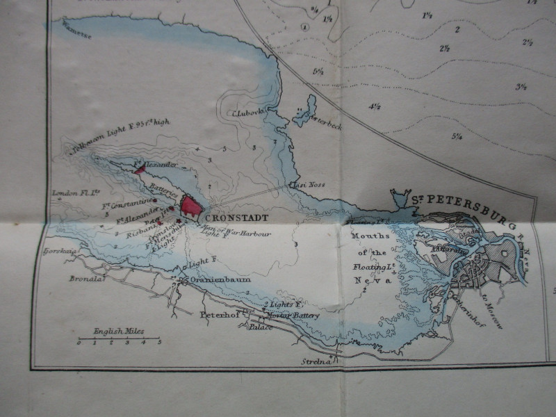
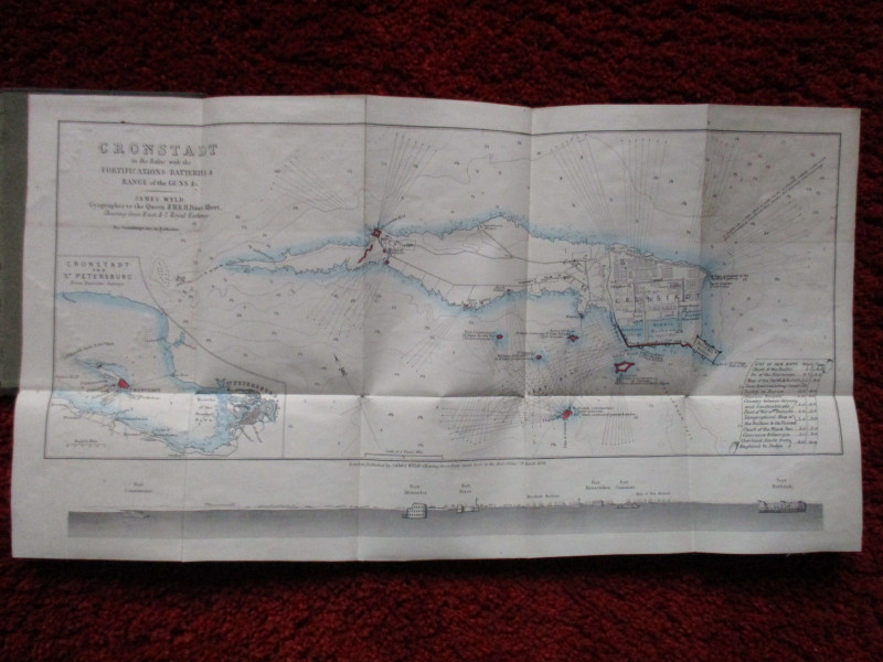
Map of Cronstadt in the Baltic with the Fortifications, Batteries, Range of the Guns etc. by James Wyld, Geographer to the Queen, 1854.


Book Description
Cronstadt in the Baltic with the Fortifications, Batteries, Range of the Guns etc. by James Wyld, Geographer to the Queen, and published by Wyld, London 1854. On folding linen size 49 by 27 cm. Scale two inches to the nautical mile. Includes an inset map of Cronstadt and St. Petersburg from Russian surveys and, underneath the main map, an engraving of a section along the river mouth from Fort Constantine to Fort Risbank. Some hand-colouring. A detailed map in VG condition. Folds into original stiff boards with blind - stamped decoration.
Author
Wyld
Date
1854
Binding
Linen backed map in boards
Publisher
1854
Condition
VG
Friends of the PBFA
For £10 get free entry to our fairs, updates from the PBFA and more.
Please email info@pbfa.org for more information
