Map of French & German Railways: Carte Generale des Chemins de Fer de la France et de l’Allemagne indiquant toutes les stations


Book Description
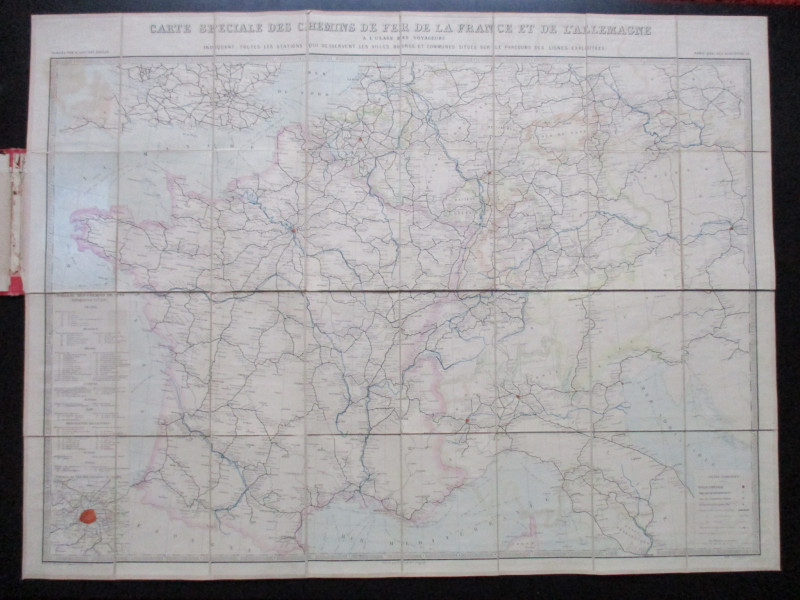
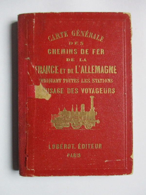
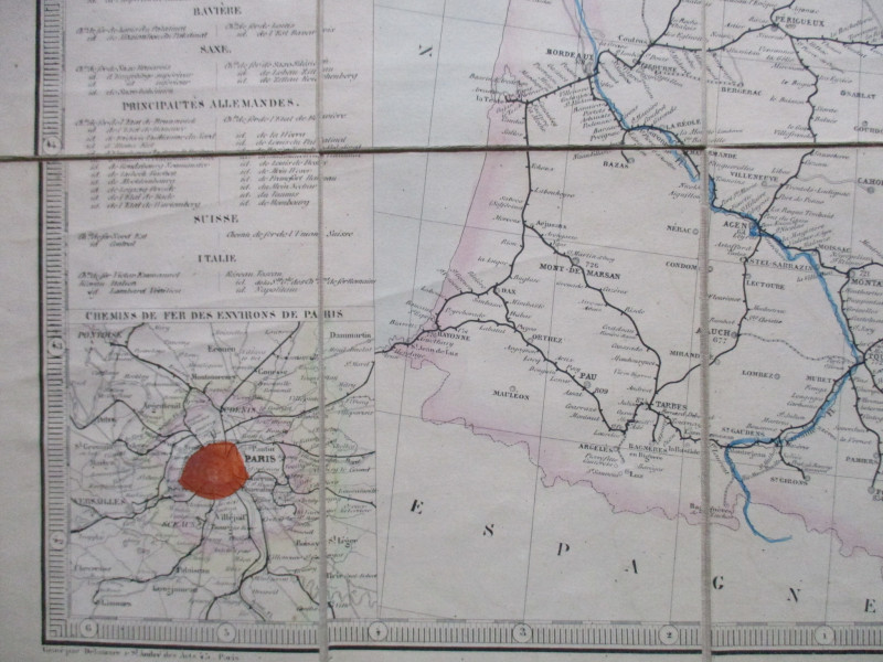
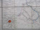
Carte Generale des Chemins de Fer de la France et de l’Allemagne indiquant toutes les stations a l’usage des voyageurs by Vuillemin, published by Logerot, Paris circa 1860 (A map of the railways of France and Germany with all the stations for travellers- though the map also covers the railways of Switzerland, Belgium and parts of Holland and Italy). On folding linen in 32 sections, size 94 by 70 cm. Scale approximately 45 kilometres to the inch. Hand-coloured. Includes an inset map of the Paris region. With a key to the lines of eight French companies, plus further keys to the lines of Belgium, Prussia, Austria, Bavaria, Saxony, other German states, Switzerland and Italy. There is also a key to towns, cities, ferry ports, railways built, railways under construction and to projected lines. The publisher (or their colourist) seems to have forgotten to colour-code the key but they have coloured the lines! Folds into red boards which have an image of a locomotive and the title gold-stamped to the front. Inside of spine rubbed and some loss of lettering to part of the title on the front cover, but otherwise map itself Good to VG.
Author
Logerot
Date
1860
Binding
Stiff decorated boards
Publisher
Logerot
Condition
Good to VG
Other books
If you liked the book you've just seen, you might be interested in other books from the same dealer below.
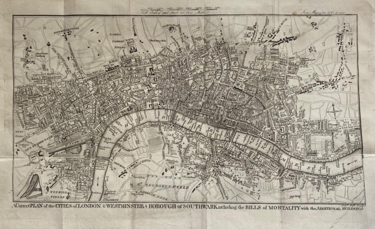
A Correct Plan of the Cities of London and Westmin...
Rocque
The Scots Magazine
Reserved
Offered by Arthur Hook
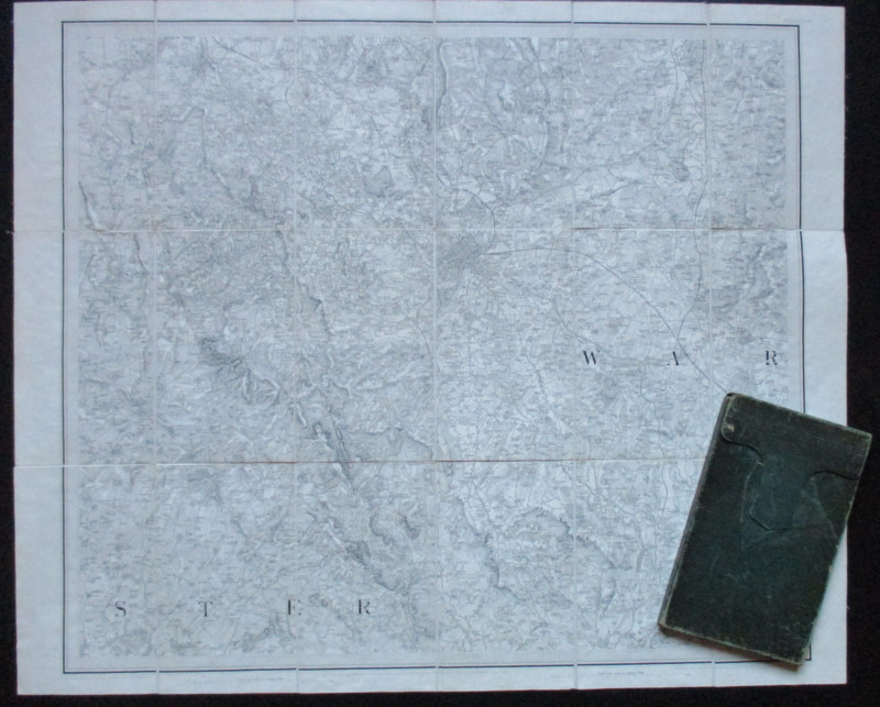
Early Ordnance Survey Map Birmingham Area circa 18...
Colby
Ordnance Survey
£100.00
Offered by Arthur Hook

Nouveau Manual Complet du Terrassier et de l’Entre...
Etienne and Masson
Roret
£50.00
Offered by Arthur Hook

A Map of the City of Norwich drawn and described b...
Sayer
Strand Magazine
£35.00
Offered by Arthur Hook


Friends of the PBFA
For £10 get free entry to our fairs, updates from the PBFA and more.
Please email info@pbfa.org for more information