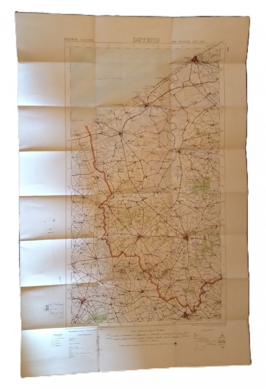
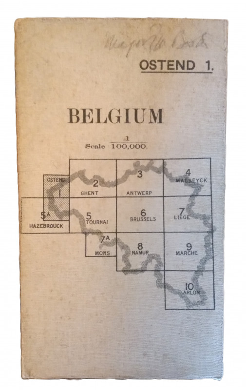
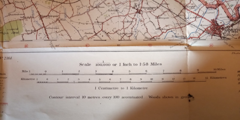
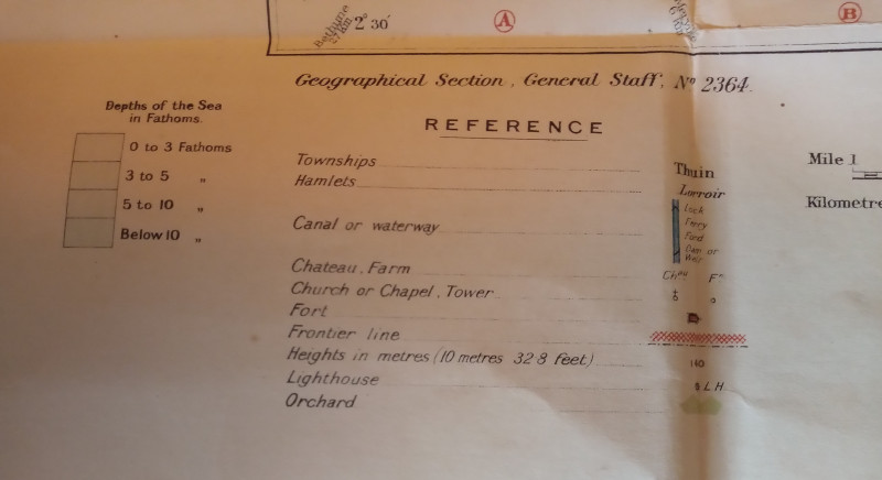
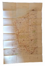
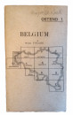
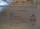
Map of Ostend Region, Belguim


Book Description
Other books
If you liked the book you've just seen, you might be interested in other books from the same dealer below.
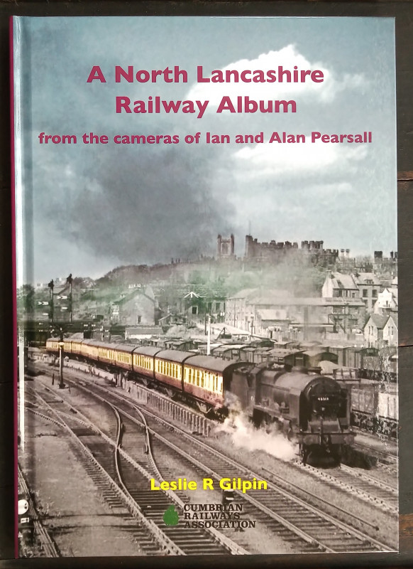
A North Lancashire Railway Album - from the camera...
Leslie R. Gilpin
Cumbrian Railways Association
£15.00
Offered by The Book House
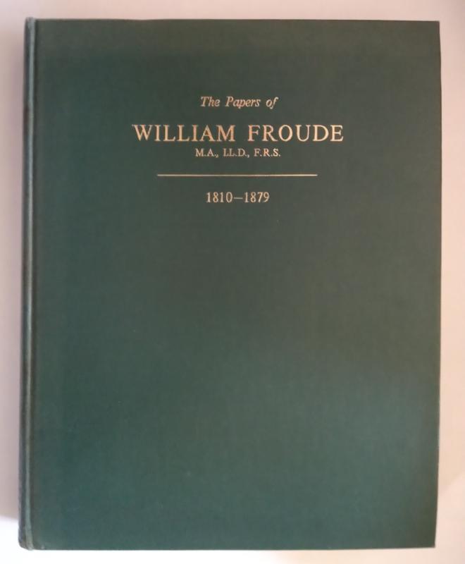
The Papers of William Froude, M.A., LL.D., F.R.S....
William Froude, Sir Westcott Abell & R. W. L. Gawn. Collected and prepared for publication by Captain A. D. Duckworth
The Institution of Naval Architects
£90.00
Offered by The Book House
A History of Hinckley
Henry James Francis
W Pickering & Sons, Hinckley
£65.00
Offered by The Book House
The Websters of Kendal - A North-Western Architect...
Angus Taylor, edited by Janet Martin
Cumberland & Westmorland Antiquarian & Archaeological Society
£35.00
Offered by The Book House
Official Railway Map of Ireland
J. & W. Emslie
The Railway Clearing House
£95.00
Offered by The Book House
Railways in England 1826 and 1827
C. Von Oeynhausen and H. Von Dechen
W. Heffer & Sons for The Newcomen Society
£5.00
Offered by The Book House
The Industrial Railways & Locomotives of County Du...
Colin E. Mountford & Dave Holroyde
Industrial Railway Society
£40.00
Offered by The Book House
The Search for Silver: Cornish Miners in Mexico 1...
Todd, A. C:
The Lodenek Press, Padstow, Cornwall
£45.00
Offered by The Book House
The Thrales of Streatham Park - Journal of an eigh...
Hyde, Mary:
Harvard University Press
£15.00
Offered by The Book House
Friends of the PBFA
Please email info@pbfa.org for more information