Map of Parts of Missouri, Illinois and Indiana 1842
Book Description
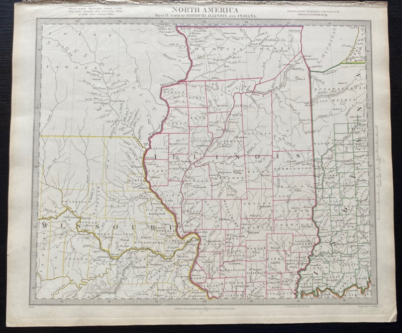
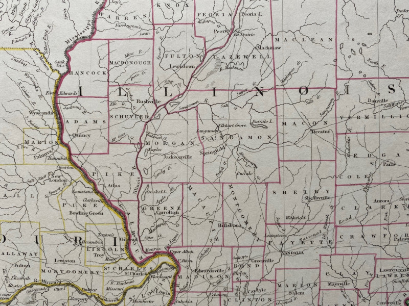
Map of Parts of Missouri, Illinois and Indiana. engraved by Walker and originally published by Baldwin and Cradock, London 1833. This is a later publication by the SDUK, London in 1842. On paper size 40 by 34 cm. Scale 30 miles to the inch. The state of Illinois is the principal focus of the map, which also includes the east of Indiana and the north of Missouri. North of Missouri and west of the Mississippi River is shown as Sioux District and only the rivers are shown in this region. A key provides information on bridges, court houses, creeks, fords and lakes, post offices, towns, springs swamps and villages. Some hand-colouring of county and state lines. The map has a piano-key style border. Vg condition.
Author
Walker
Date
1842
Publisher
SDUK
Condition
VG
Other books
If you liked the book you've just seen, you might be interested in other books from the same dealer below.
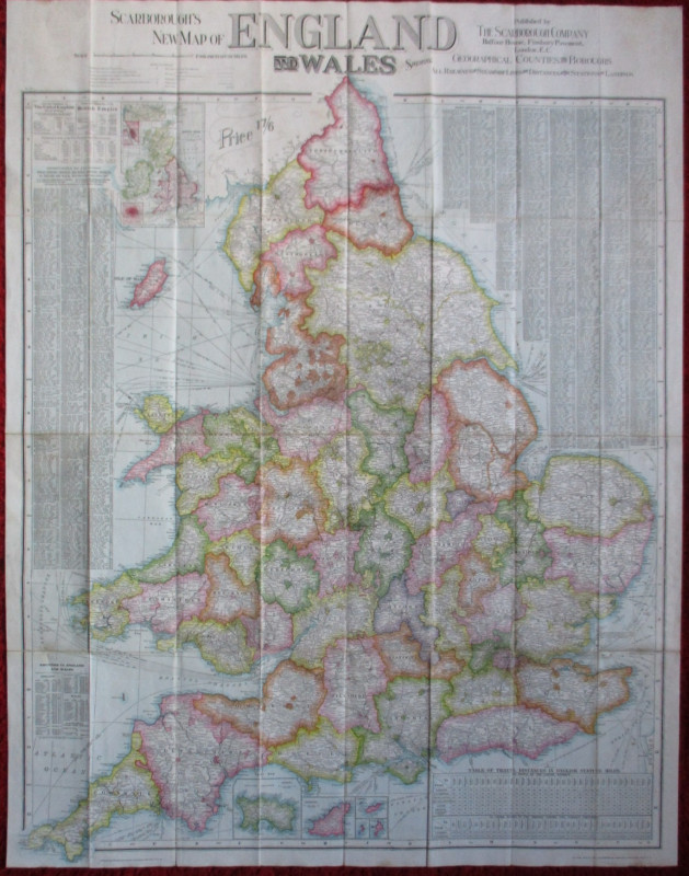
Scarborough’s Map of the British Isles shewing Geo...
Anon
Scarborough Company
£105.00
Offered by Arthur Hook
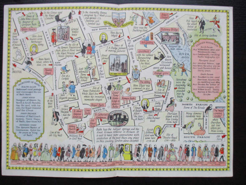
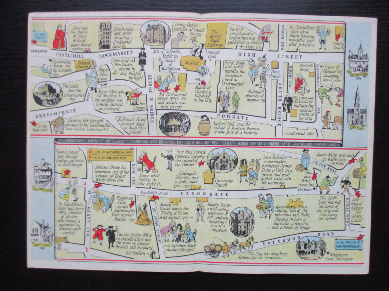
The Royal Mile, Edinburgh. A map displaying the wh...
Sayer
Strand Magazine
£40.00
Offered by Arthur Hook
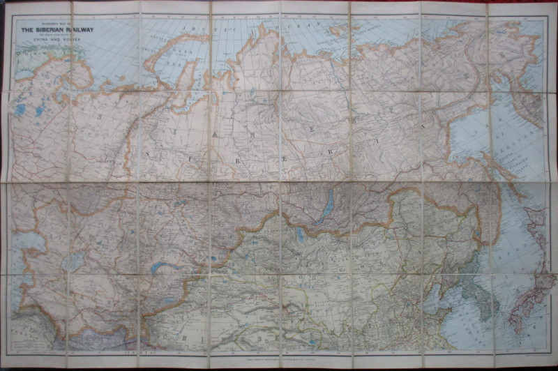
Stanford’s Map of the Siberian Railway: The Great...
Stanford
Stanford
£595.00
Offered by Arthur Hook

Barbara Hepworth Drawings from a Sculptor’s Landsc...
Hepworth
Cory Adams and Mackay
£45.00
Offered by Arthur Hook

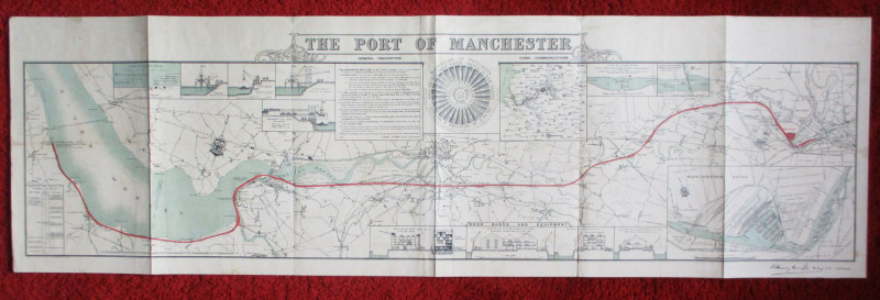
Map of the Port of Manchester & Ship Canal 1902
Falkner
Manchester Ship Canal
£125.00
Offered by Arthur Hook
Friends of the PBFA
For £10 get free entry to our fairs, updates from the PBFA and more.
Please email info@pbfa.org for more information