Map of Scotland with a Plan of Edinburgh 1834

Book Description
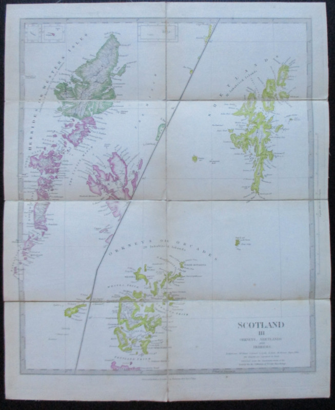
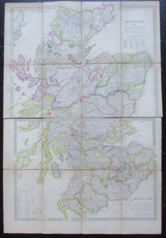
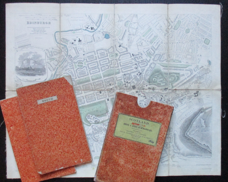
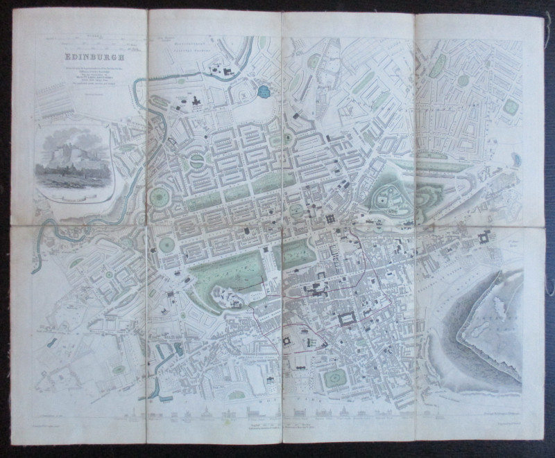
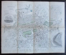
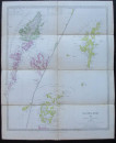
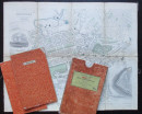
Map of Scotland with a Plan of Edinburgh, published by Baldwin and Cradock, London. 1834. Adapted from the Points of the Trignometrical Survey. Engraved by J & C Walker, with the exception of the map of Edinburgh, which was based on a plan by Laing and Forbes, drawn by W Clarke and engraved by E Turrell. Four maps in total, three of Scotland and one of Edinburgh. On folding linen, average size 43 by 35 cm. Each map in eight sections. Very detailed maps with keys to important geographical and geological features. Heights shown by hachuring. Hand-coloured. The street map of Edinburgh includes a vignette of the castle and has a series of small engravings of major public buildings and churches along the bottom border. Folding into restored marble slipcase on which the original label bears the feint residue of the original owner’s signature and the date 1834 in ink (later). VG condition.
Author
Walker
Date
1834
Binding
Slipcase
Publisher
Baldwin and Cradock
Illustrator
Walker
Condition
VG
Pages
4 maps
Friends of the PBFA
For £10 get free entry to our fairs, updates from the PBFA and more.
Please email info@pbfa.org for more information
