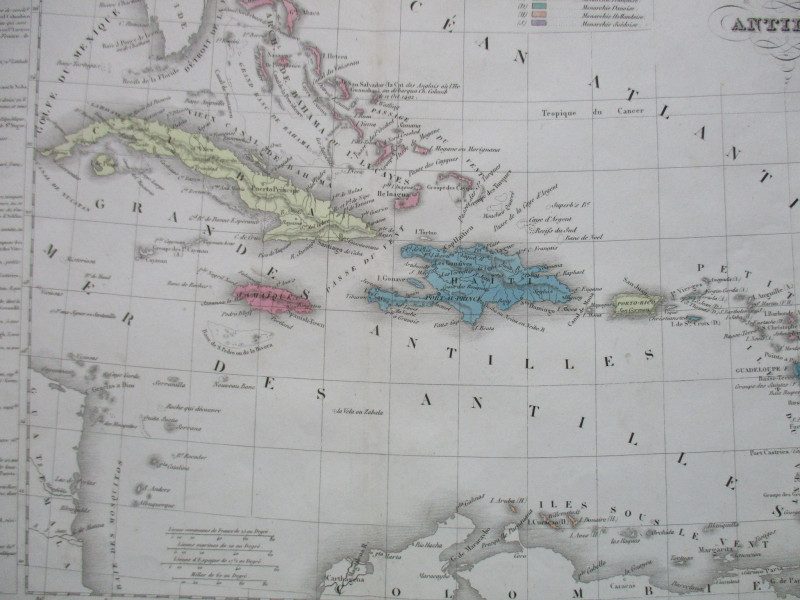
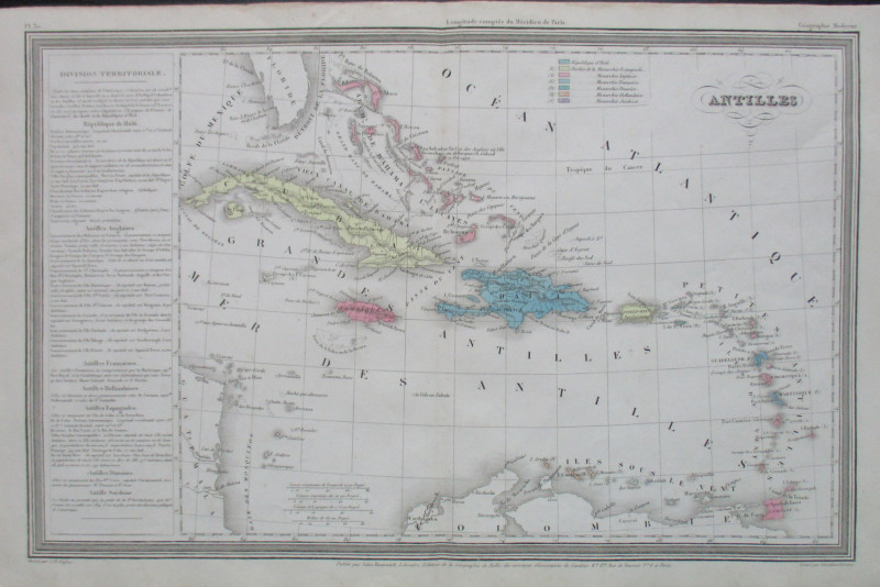
Map of the Antilles or West Indies


Book Description
Antilles, a map engraved by Giraldon Bovinet, published by Renouard, Paris circa 1850. On paper size 40 by 27 cm. With a colour-coded key to the colonies of Spain, Britain, France, Denmark, Holland and Sweden and to the republic of Haiti. Hand coloured. Heights are shown by shading or hachuring. Four scales; French, Spanish and marine leagues, and with an English scale of approximately 60 miles to the inch. A column of text in French to the left of the map has a summary of the population, principal towns, area and administration of the region. Has had one central fold. VG condition.
Author
Bovinet
Date
1850
Publisher
Renouard
Illustrator
Bovinet
Condition
VG
Friends of the PBFA
For £10 get free entry to our fairs, updates from the PBFA and more.
Please email info@pbfa.org for more information
