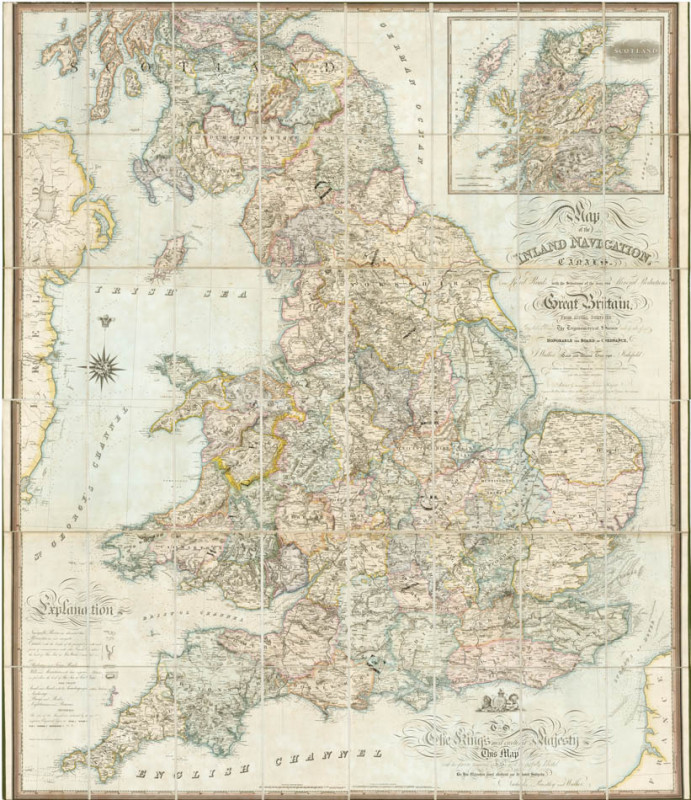
Map of the Inland Navigations, Canals, and Railroads with the situations of the various mineral productions throughout Great Britain
Book Description
Engraved map, dissected and mounted on linen, fine original hand-colour, edged in green silk, housed in brown calf pull-off slipcase, with green silk pull, rubbed and scuffed. Dimensions: 1620 × 1890 mm (63.75 × 74.5 inches).
Dealer Notes
A fine example of Walker’s large scale map of the British Isles detailing the geology, geography, and canal system features an inset of northern Scotland. An interesting and unusual map.
Author
WALKER, J[ames].
Date
1830
Publisher
Wakefield, Richard Nichols, Bookseller, [and] London, Longmann, Rees, Orme, Brown and Green,
Other books
If you liked the book you've just seen, you might be interested in other books from the same dealer below.
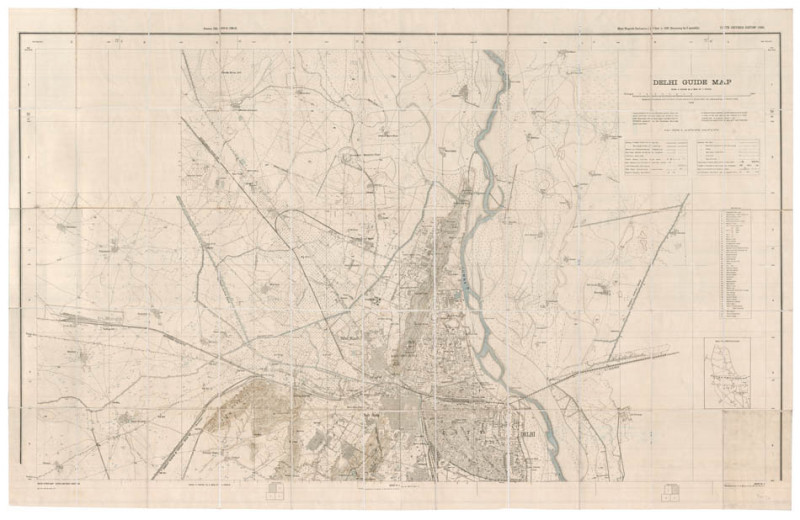
Delhi guide map
[SURVEY OF INDIA].
Calcutta, Survey of India
£800.00
Offered by Shapero Rare Books Ltd

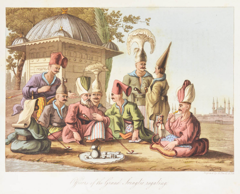
Narrative of a ten years' residence at Tripoli in...
TULLY, Richard.
London, Colburn
£1850.00
Offered by Shapero Rare Books Ltd


Map of the Inland Navigations, Canals, and Railroa...
WALKER, J[ames].
Wakefield, Richard Nichols, Bookseller, [and] London, Longmann, Rees, Orme, Brown and Green,
£1800.00
Offered by Shapero Rare Books Ltd

The Story of a Troll-Hunt.
McBRYDE, James.
Printed at the University Press, Cambridge
£975.00
Offered by Shapero Rare Books Ltd
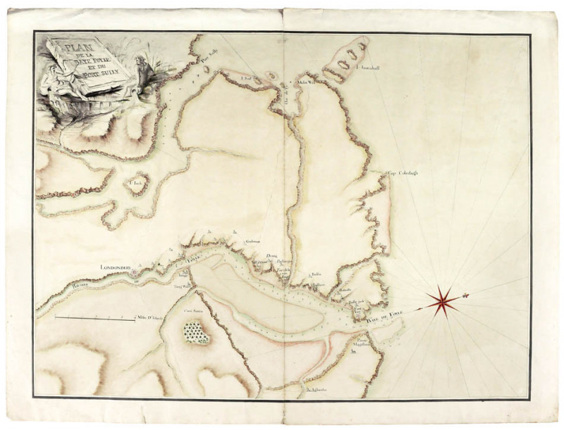
Plan de la Baye Foyle et du Port Sully [and] Belag...
[LONDONDERRY].
£2500.00
Offered by Shapero Rare Books Ltd


Friends of the PBFA
For £10 get free entry to our fairs, updates from the PBFA and more.
Please email info@pbfa.org for more information