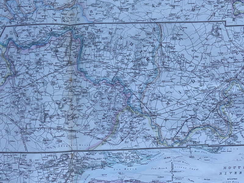
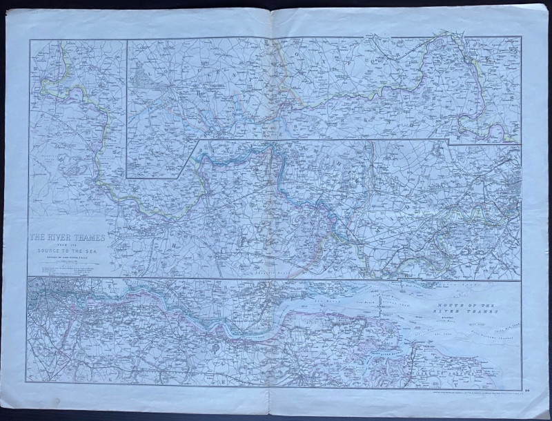
Map of the River Thames from the Source to the Sea 1865


Book Description
Map of the River Thames from the Source to the Sea by Dower. Published by Cassell, Petter and Galpin, London 1865 as part of Cassell’s Universal Atlas. On paper size 87 by 50 cm. Scale half an inch to the mile. Uncoloured. Takes the form of three strip maps, one above the other. Some hand-colouring. One central fold. Good to VG condition.
Author
Dower
Date
1865
Publisher
Cassell Petter & Galpin
Condition
Good to VG
Friends of the PBFA
For £10 get free entry to our fairs, updates from the PBFA and more.
Please email info@pbfa.org for more information
