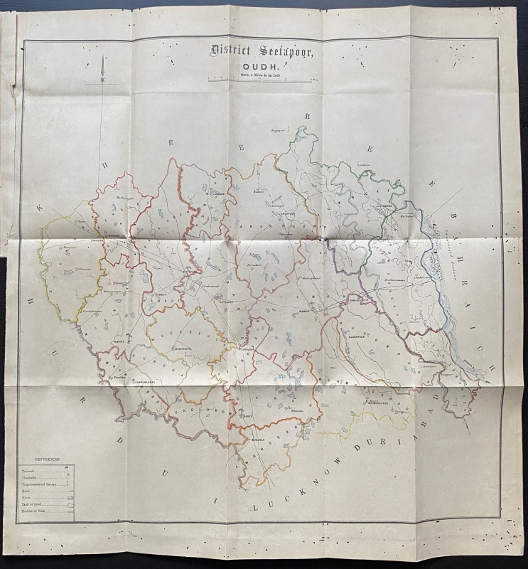
Map of the Seetapoor District of Oudh India 1877
Book Description
Map of the Seetapoor District of Oudh, printed and published by the Oudh Government Press Luckow 1877. On paper size 59 by 42 cm. Scale four miles to the inch. With a key to roads, rivers, tehseels, thannahs, the trig survey, tanks or ponds, nudeee or nala. Some of the terms and the place names have changed with time: Seetapoor is now Sitapur. Some hand-colouring of boundaries. Has been folded. Occasional worm holing but without loss. An unusual map that seems to have been produced as part of a report into the land revenue settlement in the Province of Oudh.
Author
Anon
Date
1877
Publisher
Oudh Government Press
Condition
Good
Friends of the PBFA
For £10 get free entry to our fairs, updates from the PBFA and more.
Please email info@pbfa.org for more information
