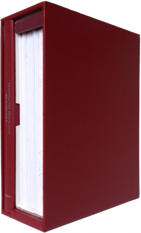
Mapping the Himalayas: Michael Ward and the Pundit Heritage.

Book Description
Dealer Notes
being precursors to the work of the Pundits. The Pundits are then covered individually, with such biographical information as is known and details of the their journeys. Michael Ward was interested in both the work of the Pundits and their techniques. During his involvement with the 1951 Everest Reconnaissance expedition, while he did not use Pundit techniques, he did carry out some survey work, the results of which were incorporated into maps of the region. Later, on two trips to Bhutan as a medical advisor to the king, he was given permission to trek in the remote Lunana district and used Pundit techniques to prepare the first accurate map of the area. The two chapters on Michael Ward's time on Everest in 1951 and Bhutan in 1964 & 1965 draw extensively on his diaries for these trips, making available information for the 1951 Everest expedition not published before, and reproducing survey maps that Ward produced on these occasions.
Other books
If you liked the book you've just seen, you might be interested in other books from the same dealer below.
May we be spared to meet on earth. Letters of the...
[Franklin.] Russell A. Potter, Regina Koellner, Peter Carney and Mary Williamson, eds.
McGill-Queen’s University Press
£35.00
Offered by Meridian Rare Books
Report on the Russian Army and its Campaigns in Tu...
[Russo-Turkish war.] Francis V. Greene.
New York: D. Appleton and Company
£375.00
Offered by Meridian Rare Books
A Note on the Burmese Species of the Genus Diptero...
Parkinson, C. E.
Rangoon: Superintendent, Govt. Printing and Stationery, Burma
£75.00
Offered by Meridian Rare Books
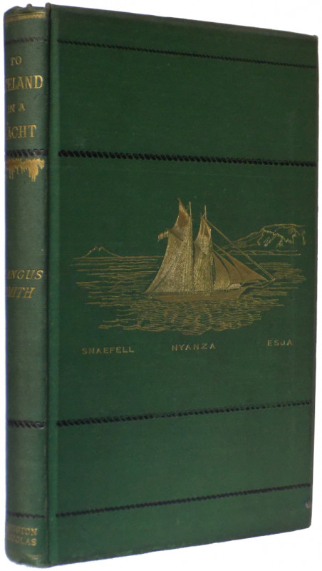
To Iceland in a Yacht.
Smith, R. Angus.
Privately Printed by Edmonston & Douglas, Edinburgh
£375.00
Offered by Meridian Rare Books
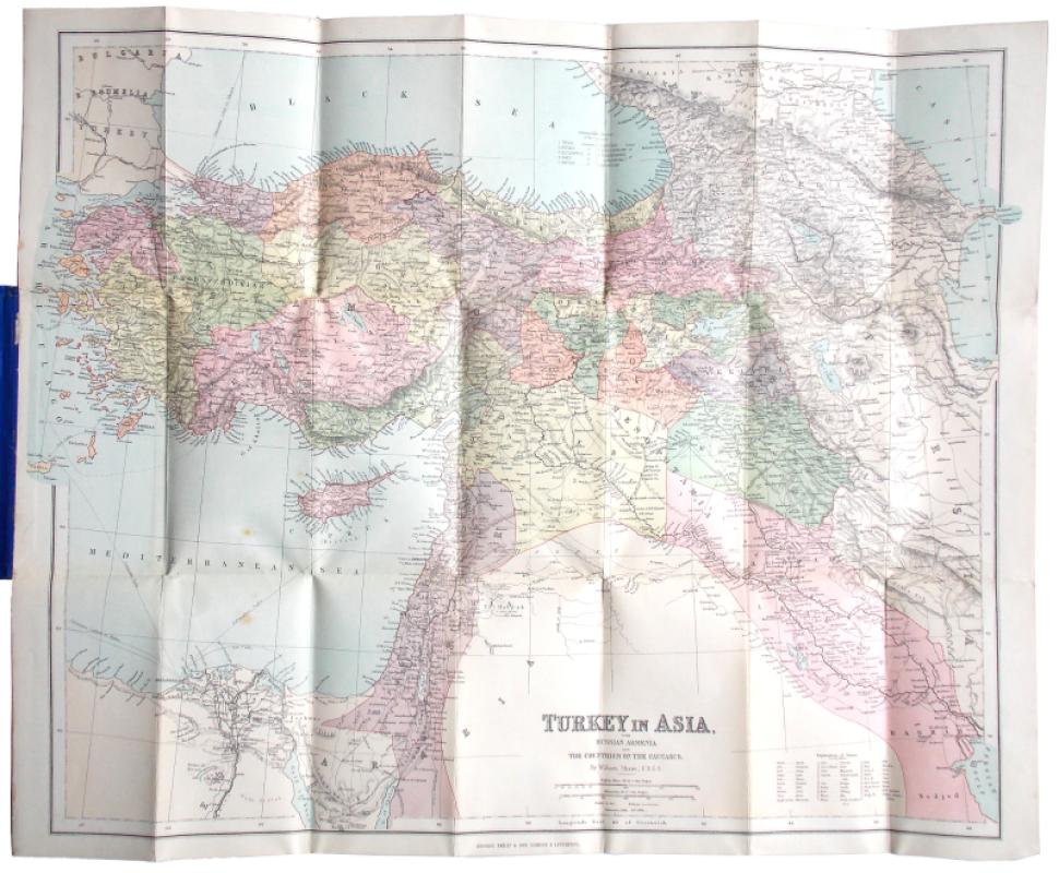
Turkey in Asia, with Russian Armenia and the Count...
[Turkey. Map.] William Shawe.
London & Liverpool: George Philip & Son
£150.00
Offered by Meridian Rare Books

A Lady’s Life and Travels in Zululand and the Tran...
Wilkinson, Annie Margaret.
London: J. T. Hayes
£325.00
Offered by Meridian Rare Books
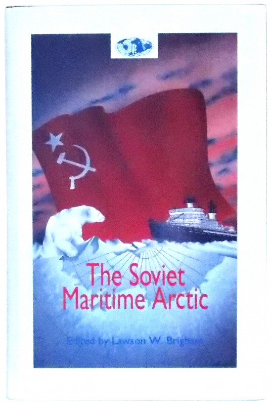
The Soviet Maritime Arctic.
Brigham, Lawson W., ed.
Annapolis, Maryland: Naval Institute Press
£45.00
Offered by Meridian Rare Books
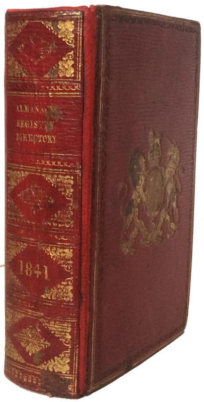
Watson’s or the Gentleman’s and Citizen’s Almanack...
[Dublin imprints.]
Dublin: C. Hope [first two works]; Dublin: Printed for the Letter Carriers of the General Post Office, by John S. Folds
£200.00
Offered by Meridian Rare Books
The Royal Engineers in Egypt and the Sudan.
Sandes, Lieut.-Colonel E. W. C.
The Institution of Royal Engineers, Chatham
£275.00
Offered by Meridian Rare Books
Two Years in the Antarctic being a Narrative of th...
Armitage, Albert B.
London: Edward Arnold
£1750.00
Offered by Meridian Rare Books
Friends of the PBFA
Please email info@pbfa.org for more information