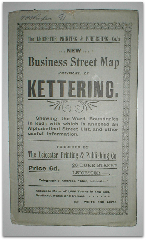
New business street map of Kettering. Shewing the ward boundaries in red; with which is annexed and alphabetical street list, and other useful information.
Book Description
Other books
If you liked the book you've just seen, you might be interested in other books from the same dealer below.
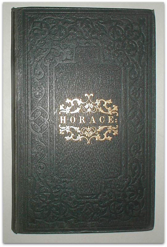
Horace: odes, epodes, and carmen sæculare. Transla...
HORACE.
London: Simpkin, Marshall and Co.,
£95.00
Offered by John Turton
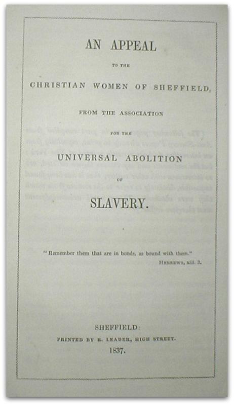
An appeal to the Christian women of Sheffield, fro...
ANON.
Sheffield: Printed for R. Leader,
£140.00
Offered by John Turton
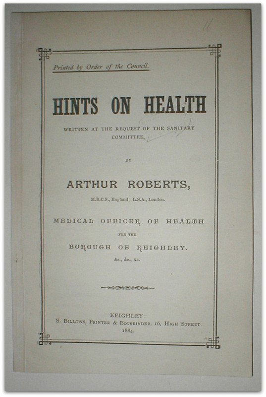
Hints on health. Written at the request of the San...
ROBERTS, Arthur, Medical Officer of Health for the Borough of Keighley.
Keighley: S. Billows, printer & bookbinder,
£65.00
Offered by John Turton
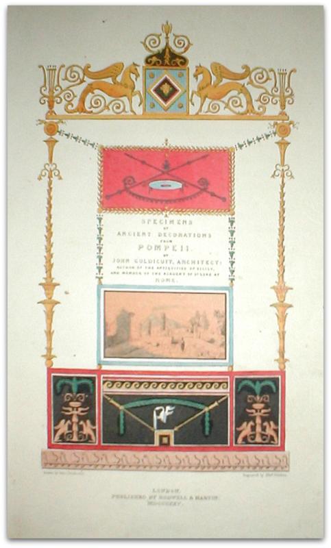
Specimens of ancient architecture from Pompeii.
GOLDICUTT, John.
London: published by Rodwell & Martin,
£875.00
Offered by John Turton
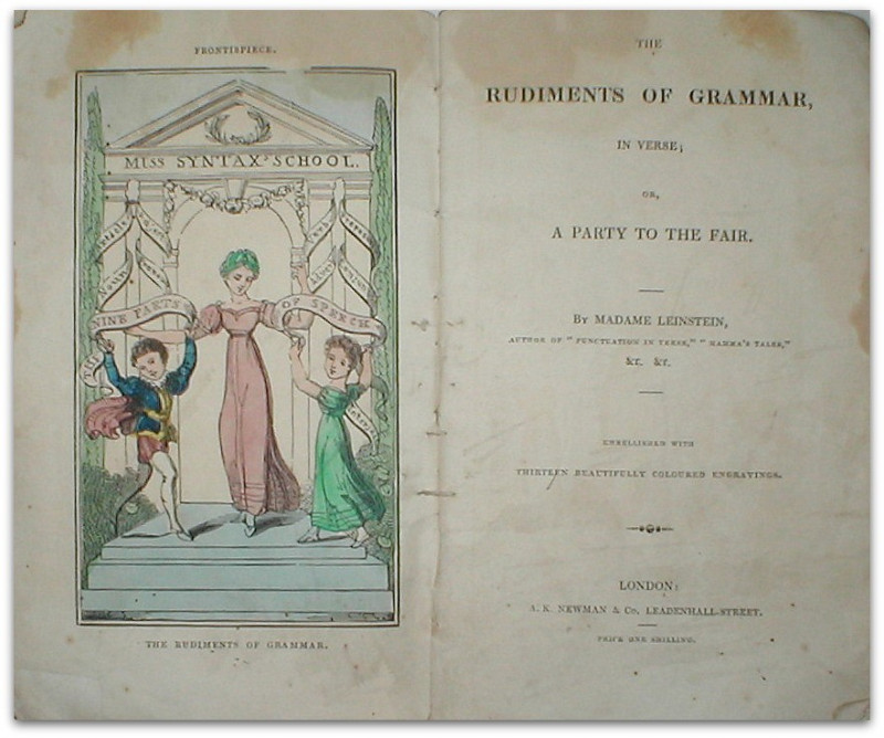
The rudiments of grammar, in verse, or, a party to...
LEINSTEIN, Madame.
London: A.K. Newman & Co,
£400.00
Offered by John Turton
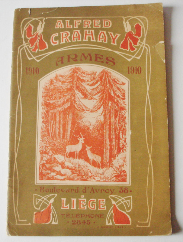
Fabrique d’Armes et de munitions. Ateliers speciau...
Alfred Crahay 1910 Ammunition Catalogue.
Liege: P. Daxhelet,
£70.00
Offered by John Turton
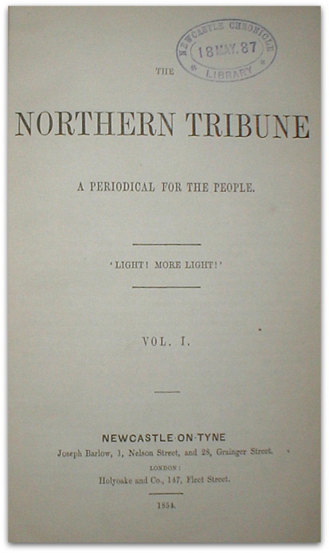
The Northern Tribune: a periodical for the people....
PERIODICAL.
Newcastle-on-Tyne: Joseph Barlow; London: Holyoake and Co,
£360.00
Offered by John Turton
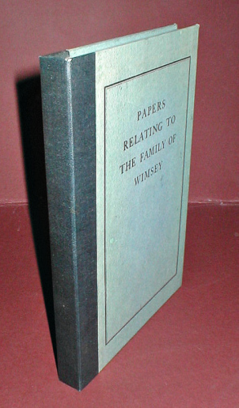
Papers relating to the Family of Wimsey.
WIMSEY, Matthew, pseud. [i.e. Dorothy Leigh SAYERS.]
London: privately printed for the family by Humphrey Milford [at The Westminster Press,]
£900.00
Offered by John Turton
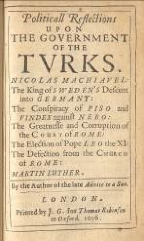
Political reflections upon the government of the T...
[OSBORNE, Francis.]
London: printed by F. G. for Thomas Robinson,
£1200.00
Offered by John Turton
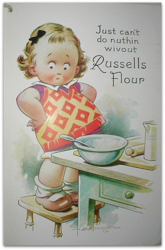
A collection of interesting recipes for the home.
RUSSELLS & WRANGHAM LTD., Malton, Yorkshire.
N.P.,
£20.00
Offered by John Turton
Friends of the PBFA
Please email info@pbfa.org for more information