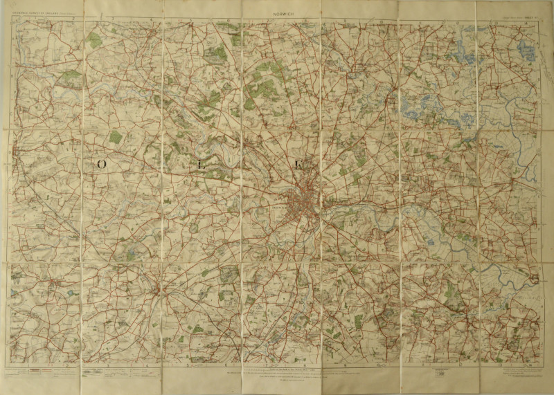
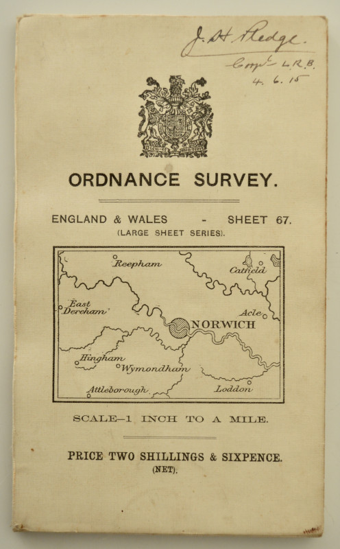
Norwich, Ordnance Survey Sheet 67, 1 Inch to a Mile
Book Description
Folding OS map, 53cm x 74cm, railways revised to 1912, original covers (name to front).
Author
Ordnance Survey
Other books
If you liked the book you've just seen, you might be interested in other books from the same dealer below.
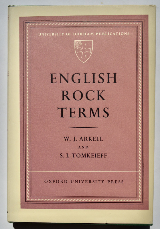
English Rock Terms, Chiefly as Used by Miners and...
ARKELL, W. J. & TOMKEIEFF, S. I.
£50.00
Offered by Paul Hughes
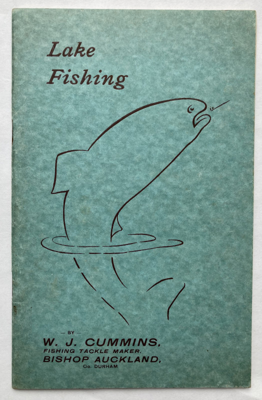
Lake Fishing, Some General Hints on Methods.
CUMMINS, W. J. (Fishing Tackle Maker)
£34.00
Offered by Paul Hughes
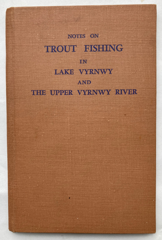
Notes on Trout Fishing in Lake Vyrnwy And The Uppe...
THRELFALL, Richard E.
£20.00
Offered by Paul Hughes
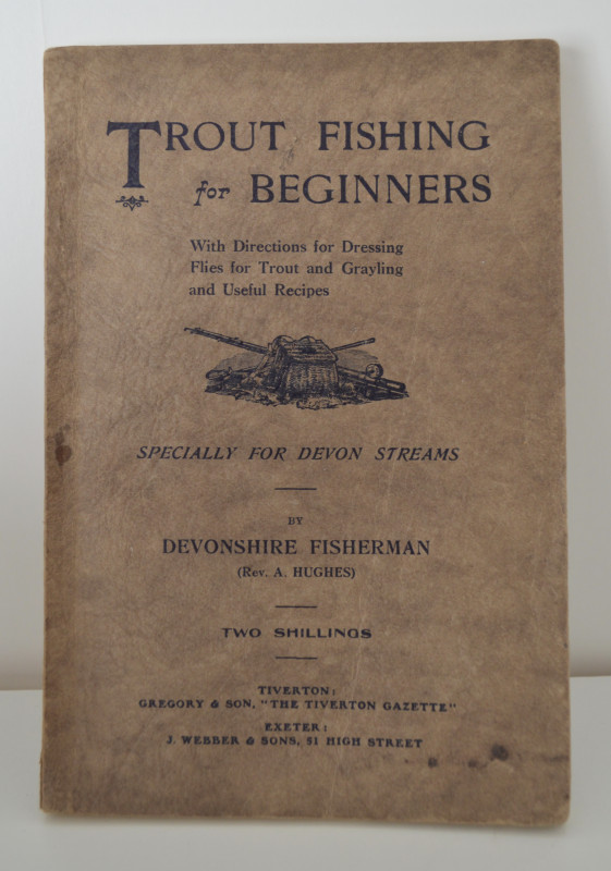
Trout Fishing for Beginners, With Directions for D...
'DEVONSHIRE FISHERMAN' (Rev. A. Hughes)
£40.00
Offered by Paul Hughes

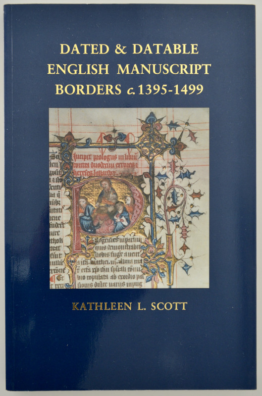
Dated & Datable English Manuscript Borders c. 1395...
SCOTT, Kathleen L.
£12.00
Offered by Paul Hughes
Friends of the PBFA
For £10 get free entry to our fairs, updates from the PBFA and more.
Please email info@pbfa.org for more information