Plan Geometral de Paris et de ses Agrandissments 1858
Book Description
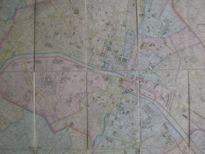
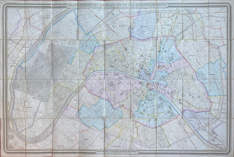
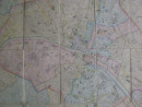
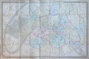
Plan Geometral de Paris et de ses Agrandissments published by Longuet, Paris 1858. 1st edition. A large folding map on linen size 152 by 100 cm. in 36 sections, scale 4 inches to the kilometre or one inch to 250 metres. The first detailed map of Paris after Haussmann began his creation of the new steet plan. Some hand-colouring. VG to Mint condition. Folds into original marbled cover and the original marbled slipcase, both in Good condition with some rubbing to edges. The second image gives an impression of the size of the map.
Author
Longuet
Date
1858
Binding
Linen backed with slipcase
Publisher
1858
Condition
VG
Other books
If you liked the book you've just seen, you might be interested in other books from the same dealer below.
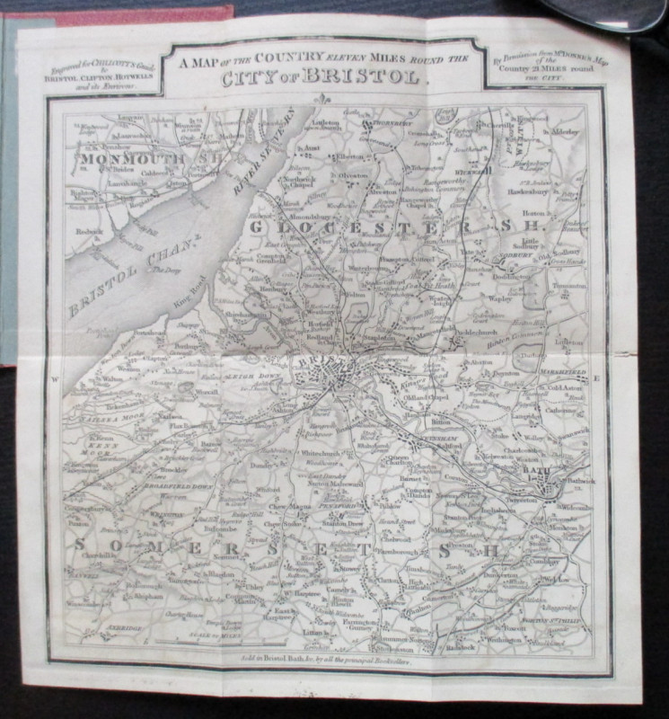
A Map of the Country Eleven Miles Round the City o...
Chilcott
Chilcott
£40.00
Offered by Arthur Hook


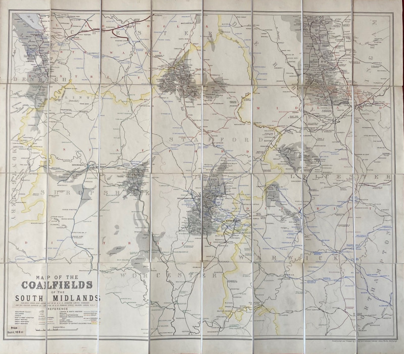
Map of the Coalfields of the South Midlands circa...
Johnston
Johnston
£100.00
Offered by Arthur Hook
The War of Steel and Gold- Bertrand Russell Signed...
Brailsford
Bell
£450.00
Offered by Arthur Hook
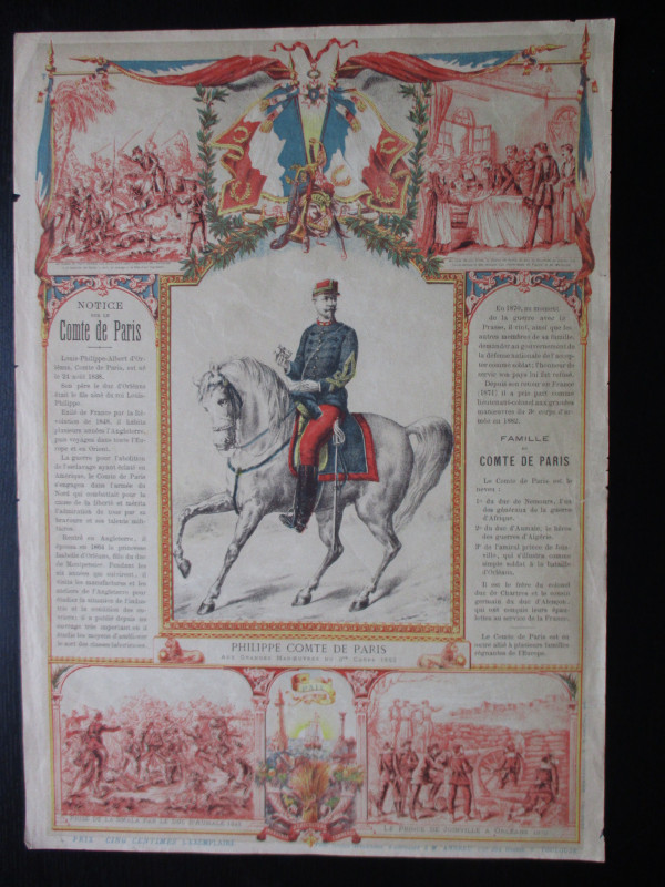
French Royalist Publicity Poster Philippe Comte de...
Philippe Comte de Paris
Thomas and Conferon
£45.00
Offered by Arthur Hook
Friends of the PBFA
For £10 get free entry to our fairs, updates from the PBFA and more.
Please email info@pbfa.org for more information