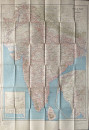
Road Map of India

Book Description
Road Map of India published under the direction of Brigadier C Lewis by the Survey of India, Calcutta January 1945. On paper size 114 by 79 cm. Scale 50 miles to the inch. A large detailed map with all roads, railways and administrative boundaries. Heights are shown by shading. With inset maps of much of Burma and of Baluchistan. In an interesting insight on facilities for travellers the key includes information on places where delay may occur; where usually arrangements are available and on places where no arrangements are available; places with hotel or food and lodging; places with lodging only, and places without food or lodging! Colour. Has been folded. VG condition.
Author
Lewis
Date
1945
Publisher
Survey of India
Condition
VG
Other books
If you liked the book you've just seen, you might be interested in other books from the same dealer below.
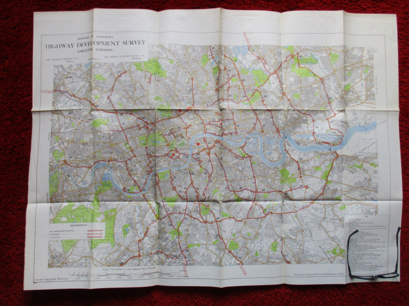
Ministry of Transport Highway Development Survey 1...
Bressey & Lutyens.
HMSO
£90.00
Offered by Arthur Hook
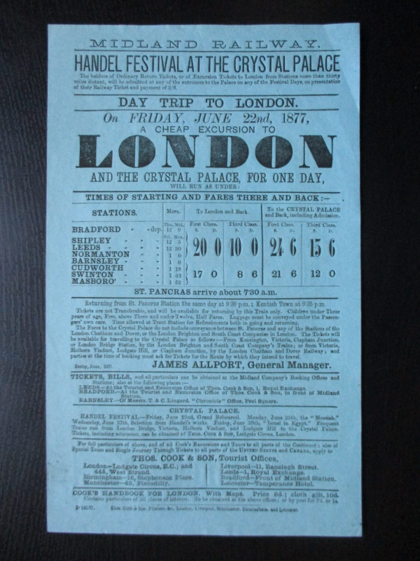
Midland Railway Poster or Handbill. Day Trips to t...
Midland Railway
Thomas Cook
£45.00
Offered by Arthur Hook
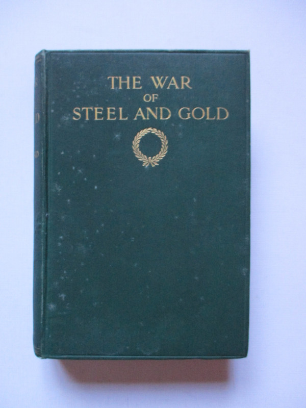
The War of Steel and Gold- Bertrand Russell Signed...
Brailsford
Bell
£450.00
Offered by Arthur Hook
Friends of the PBFA
For £10 get free entry to our fairs, updates from the PBFA and more.
Please email info@pbfa.org for more information