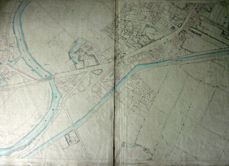
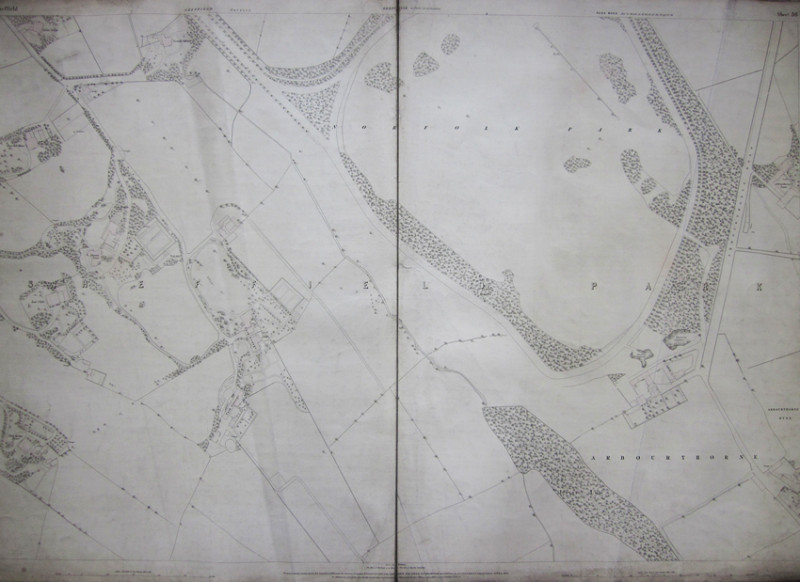
SHEFFIELD 1849 Ordnance Survey Map 5 feet to the mile. SHEET 36 Sheffield Park Ward - Arbourthorne

Book Description
The whole of Sheffield was covered in the 1849 survey by Capt. Barlow at a scale of 5' to the mile and comprised sheets 1-36 Each measuring 38 inches by 26. Copper Engraved with added hand colour & linnen backed. This sheet shows Norfolk Park, Queens Tower, Norfolk Cottage,Talbot Lodge,East Hill, East Cliffe and Park Spring Houses,Park Grange Arbourthorne Hill and Farm. A bit dusty and creased
Author
Barlow,Captain. Yolland,William.Captain. Gosset,William,Driscoll.
Date
1853
Publisher
Southampton. Ordnance Map Office.Pub'd by Lt. Colonel Hall. 24th March 1853.
Friends of the PBFA
For £10 get free entry to our fairs, updates from the PBFA and more.
Please email info@pbfa.org for more information
