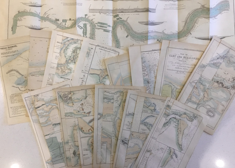
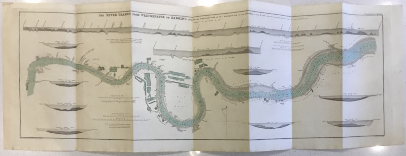
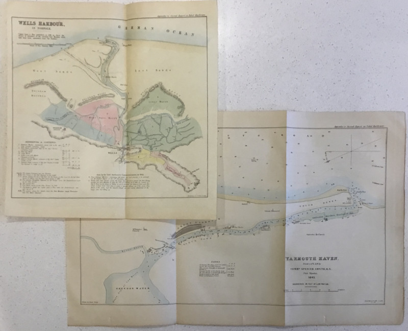
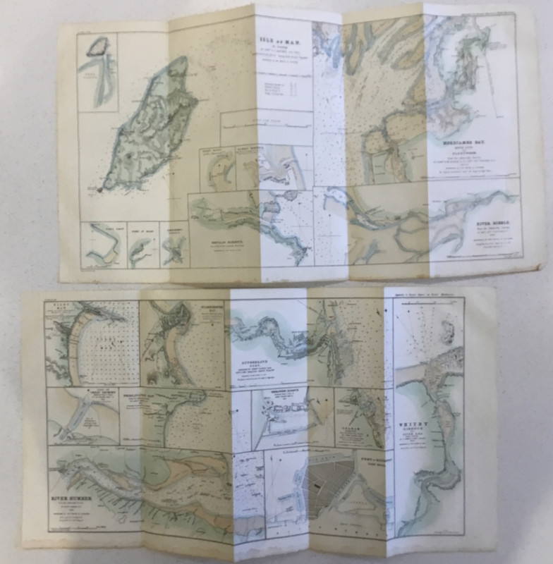
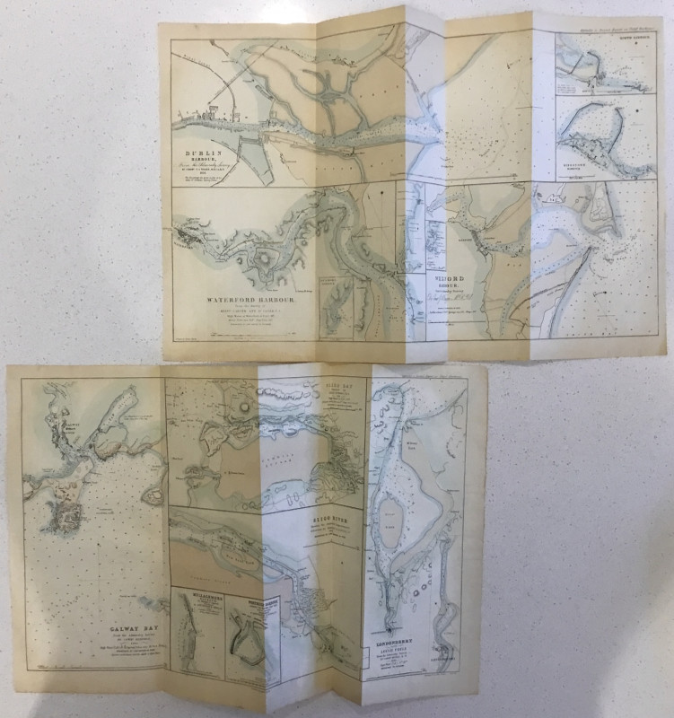
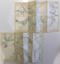
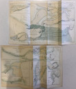
14 Tidal Harbour Commission charts


Book Description
Dealer Notes
Other books
If you liked the book you've just seen, you might be interested in other books from the same dealer below.
Geology: Introductory, Descriptive, & Practical. 2...
David Thomas Ansted
Lonson: John Van Voorst
£235.00
Offered by Wilfrid de Freitas
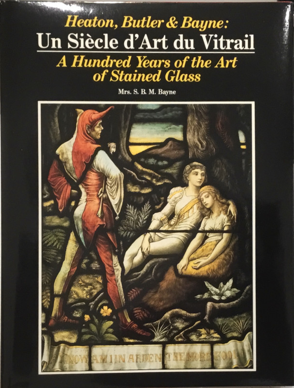
Heaton Butler & Bayne: Un Siècle d’Art du Vitrail...
Mrs. S.B.M. (Simone) Bayne
[Switzerland ?: the Author]; Imprimerie Marendaz Offset Couleurs
£35.00
Offered by Wilfrid de Freitas
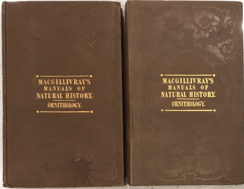
A Manual of British Ornithology …
William MacGillivray
London: Printed for Scott, Webster, and Geary
£85.00
Offered by Wilfrid de Freitas
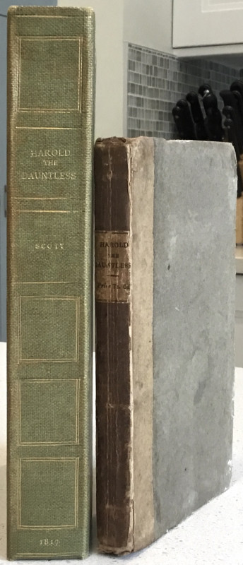
Harold the Dauntless; A Poem In Six Cantos
Sir Walter Scott
Edinburgh: James Ballantyne and Co. [etc.]
£235.00
Offered by Wilfrid de Freitas
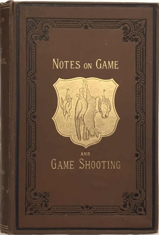
Notes on Game & Game Shooting
J.J. Manley
London: “The Bazaar” Office
£95.00
Offered by Wilfrid de Freitas
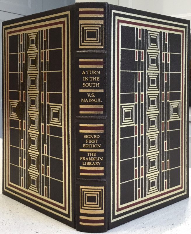
A Turn in the South
V. S. Naipaul
Pennsylvania: The Franklin Library
£30.00
Offered by Wilfrid de Freitas
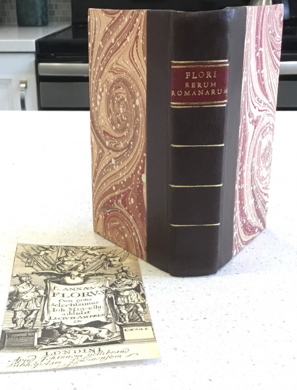
Rerum Romanarum
Lucius Annaeus Florus
Londini: Johannem Gellibrand
£160.00
Offered by Wilfrid de Freitas
Friends of the PBFA
Please email info@pbfa.org for more information