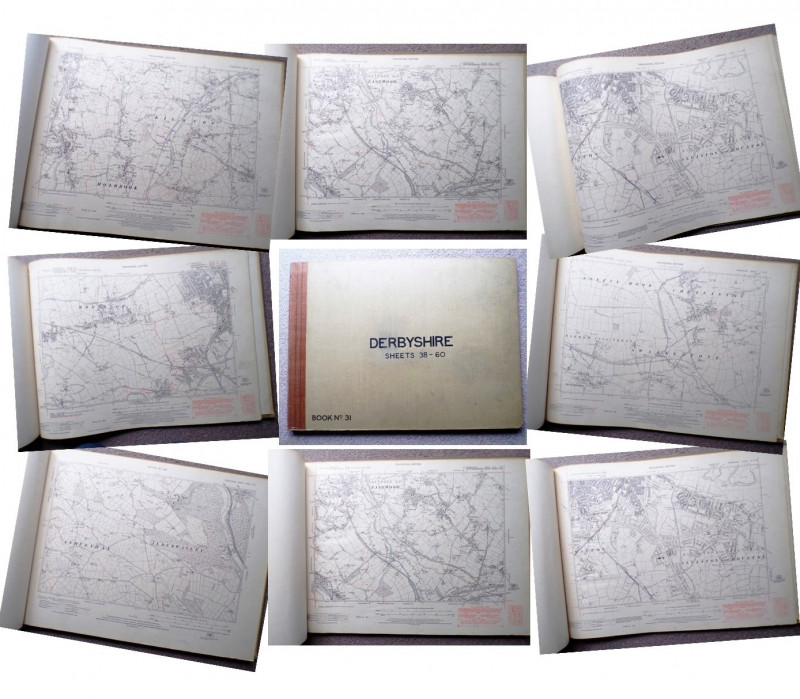
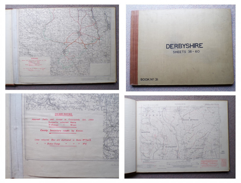
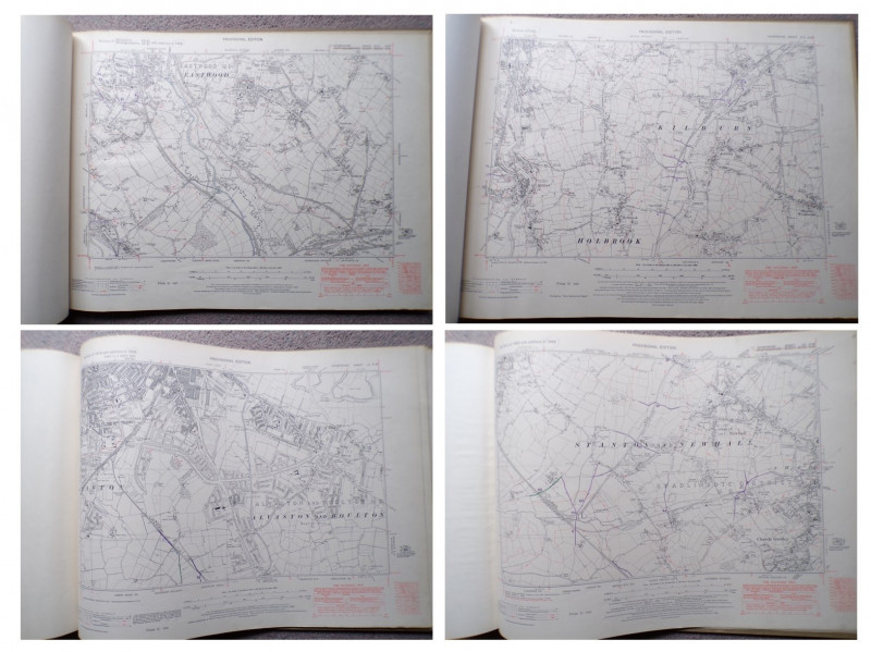
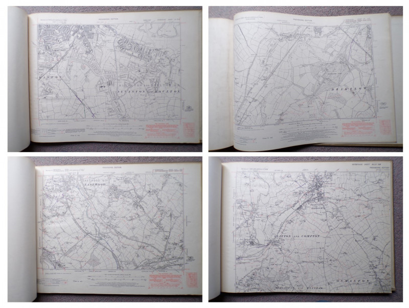
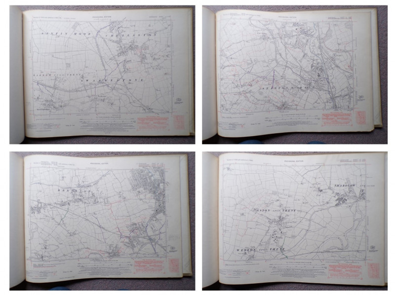
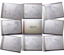
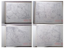
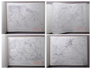
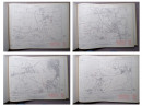
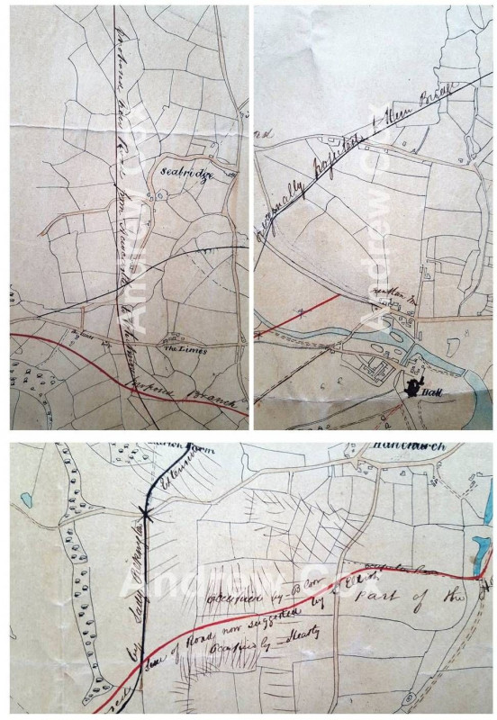
52 ORDNANCE SURVEY MAPS OF DERBYSHIRE

Book Description
Dealer Notes
THIS IS A LARGE HEAVY VOLUME WEIGHING OVER FIVE KILOS PACKED
Other books
If you liked the book you've just seen, you might be interested in other books from the same dealer below.
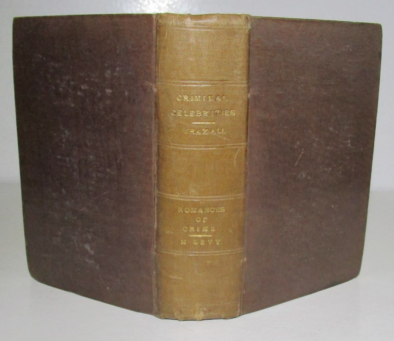
ROMANCES OF CRIME & CRIMINAL CELEBRITIES
SHERLOCK HOLMES INTEREST
Cameron and Ferguson, W. Kent and Co.
£750.00
Offered by Andrew Cox
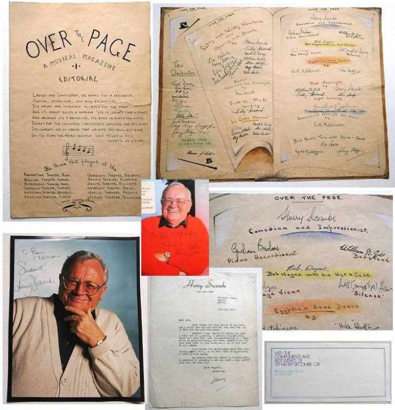
1945 Pre "The Goon Show" MANUSCRIPT Material
HARRY SECOMBE & SPIKE MILLIGAN
£945.00
Offered by Andrew Cox
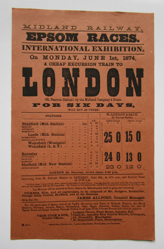
1874 EPSOM HORSE RACES HANDBILL
Midlands Railways
A Cheap Excursion Train to London and Back
£125.00
Offered by Andrew Cox
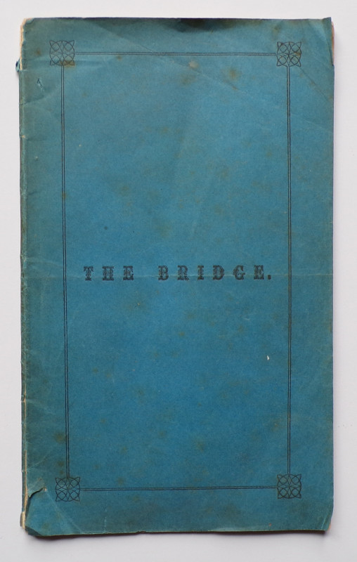
THE BRIDGE Celebrating the building of a Bridge ov...
George Murray, Minister at Balmaclellan
the Advertiser Office, Castle Douglas,
£175.00
Offered by Andrew Cox
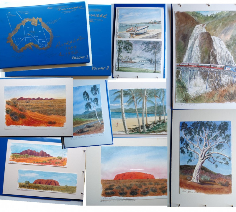
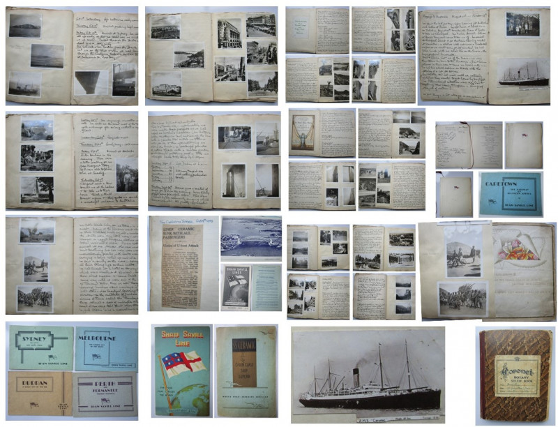
“DOWNUNDER” AUSTRALIA 1989 & 1994 A record of two...
Two Large Books
Two Trips to Australia Recorded in Original Artwork
£395.00
Offered by Andrew Cox
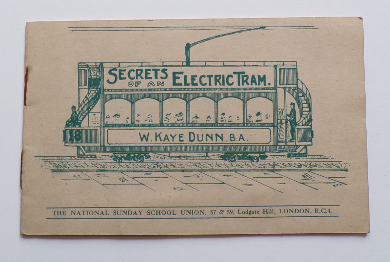
THE SECRETS OF AN ELECTRIC TRAM
W. Kaye Dunn, B.A.
The National Sunday School Union
£55.00
Offered by Andrew Cox
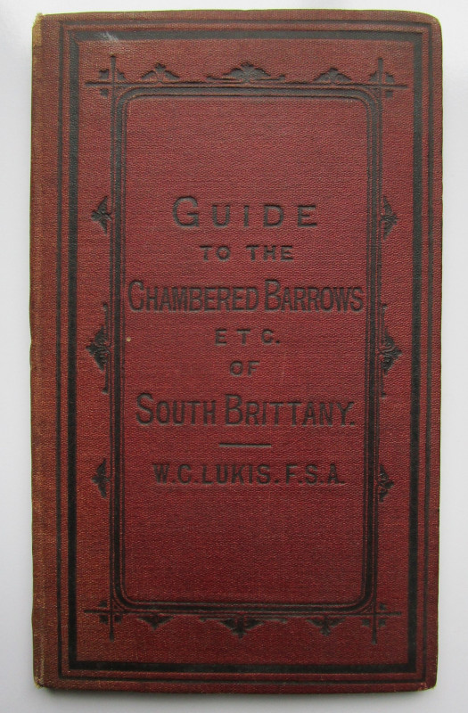
A GUIDE to the PRINCIPAL CHAMBERED BARROWS and oth...
W. C. Lukis
Printed for the Author by Johnson and Co. Market Place, Ripon
£275.00
Offered by Andrew Cox
SS CERAMIC VOYAGE FROM ENGLAND TO AUSTRALIA
HANDWRITTEN ACCOUNT OF A FAMILY’S EMIGRATION FROM ENGLAND TO AUSTRALIA
Mr & Mrs Horace & Phyllis Fuller
£395.00
Offered by Andrew Cox
Friends of the PBFA
Please email info@pbfa.org for more information