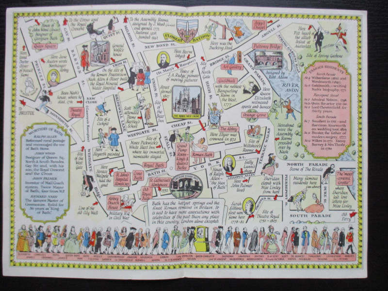
A Map of Bath


Book Description
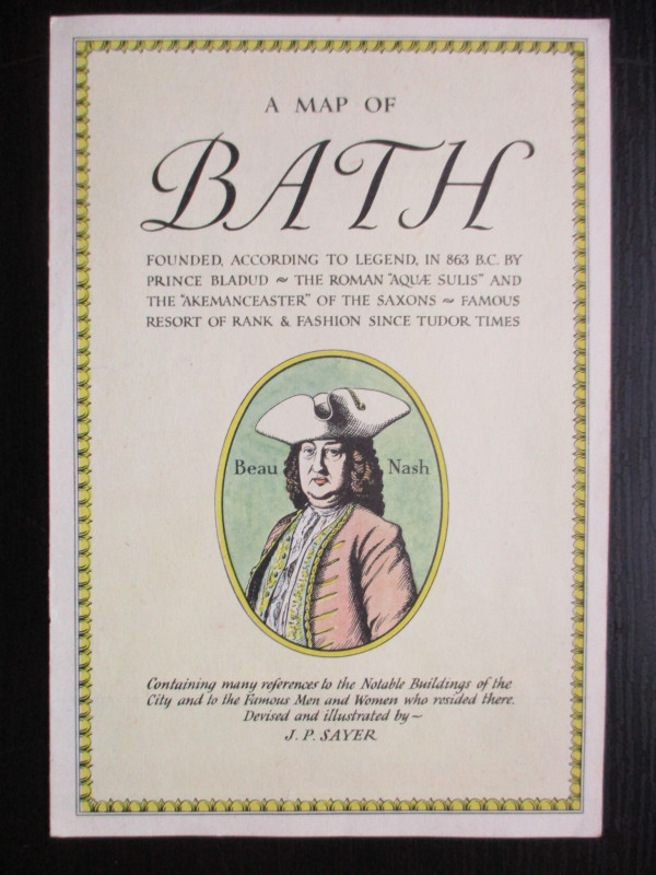
A Map of Bath founded, according to legend, in 863 BC by Prince Bladud, the Roman Aquae Sulis, and the Akemanceaster of the Saxons, famous resort of rank and fashion since Tudor times. Containing many references to the Notable Buildings of the City and to the Famous Men and Women who resided there. Devised and illustrated by J P Sayer. Etc. A map by J P Sayer, published by the Strand Magazine London circa 1947. On paper size 27 by 20 cm. Text and another image to the reverse. J P Sayer was a British artist whose work included railway posters and maps, with this map being one of a series he produced for the Strand Magazine in the late 1940s. His maps combine history with humour and reflect a romantic interest in the past and a feeling of optimism for post-war Britain. VG condition.
Author
Sayer
Date
1947
Publisher
Strand Magazine
Illustrator
Sayer
Condition
VG
Friends of the PBFA
For £10 get free entry to our fairs, updates from the PBFA and more.
Please email info@pbfa.org for more information
