A Map of Brighton “The Queen of Watering Places” formerly Brighthelmstone, a Fishing Village,

Book Description
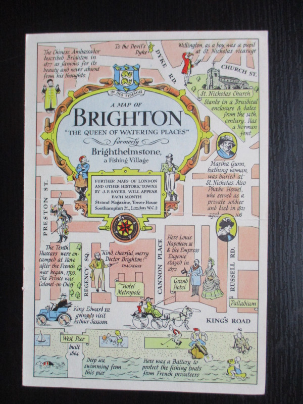
A Map of Brighton “The Queen of Watering Places” formerly Brighthelmstone, a Fishing Village, A map by J P Sayer, published by the Strand Magazine London circa 1947. On paper size 27 by 20 cm. with a second map to the reverse containing the title in a decorative cartouche. The reverse also has an image of the Pavilion of King George IVth along with publisher’s details. Full colour. J P Sayer was a British artist whose work included railway posters and maps, with this map being one of a series he produced for the Strand Magazine in the late 1940s. His maps combine history with humour and reflect a romantic interest in the past and a feeling of optimism for post-war Britain. One central fold. Vg condition.
Author
Sayer
Date
1947
Publisher
Strand Magazine
Illustrator
Sayer
Condition
VG
Other books
If you liked the book you've just seen, you might be interested in other books from the same dealer below.
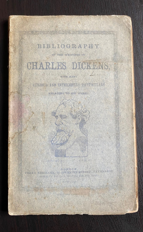
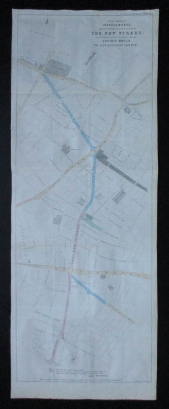
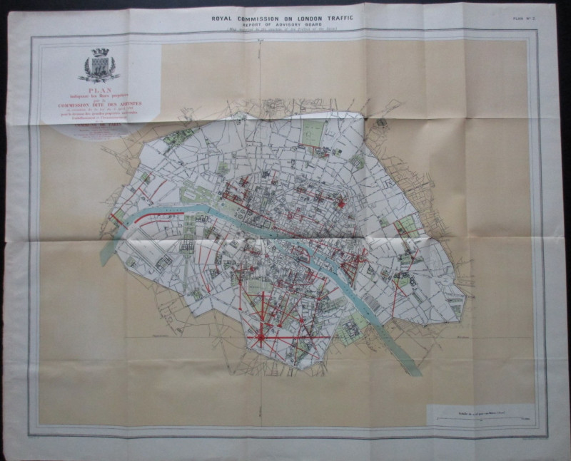
Plan Shewing Improvements suggested in extension o...
Pennethorne
Hansard
£75.00
Offered by Arthur Hook
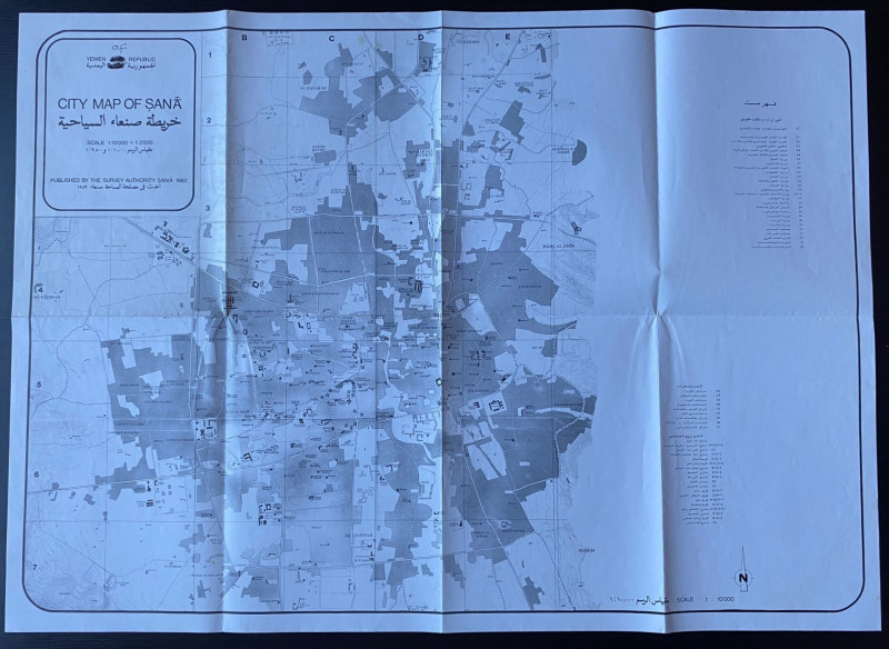
Republic of Yemen City Map of Sana
Survey Authority Sana
Survey Authority Sana
£110.00
Offered by Arthur Hook
Great Indian Peninsula Railway timetable of Main a...
Great Indian Peninsula Railway
Great Indian Peninsula Railway
£55.00
Offered by Arthur Hook
Friends of the PBFA
For £10 get free entry to our fairs, updates from the PBFA and more.
Please email info@pbfa.org for more information