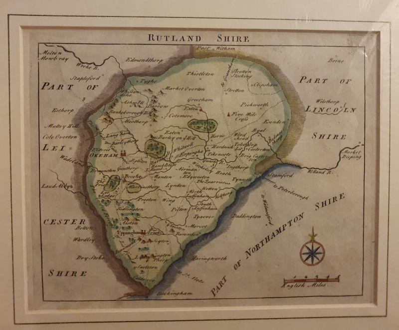
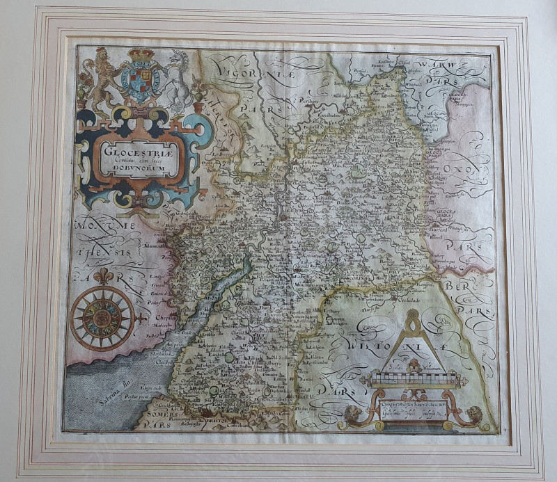
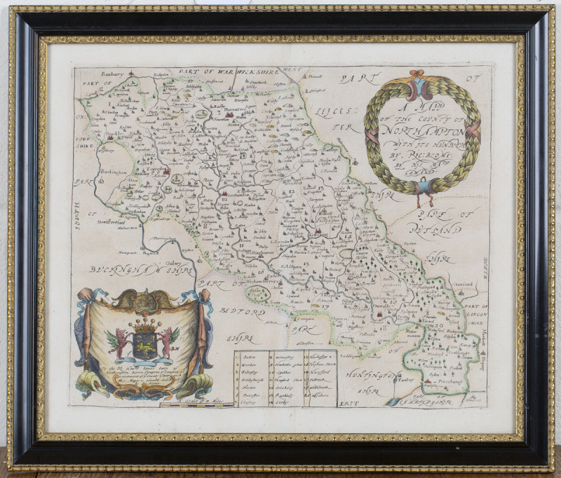
A Mapp of the County of Northampton with its Hundreds
Book Description
A very attractive and uncommon 17th Century map of Northamptonshire, orientated west to east, which was published in "Britannia: or, a Geographical Description of the Kingdoms of England, Scotland, and Ireland with the Isles and Territories thereto belonging". Published by Thomas Roycroft for Richard Blome, London, 1673.
This is an original copperplate engraving with later hand colouring which particularly finely enhances the country and heraldic cartouches. There is a dedication on the lower left cartouche to James Compton, 3rd Earl of Northampton, politician, soldier in the English Civil War on the Royalist side and later Constable of the Tower of London.
Lovely old embossed black frame with gold detailing.
PLEASE NOTE: All glazed and framed maps can be professionally recovered without damage should buyer prefer to purchase unframed. This will only be done upon written request.
Author
Richard Blome
Date
C.1673
Publisher
Published by Thomas Roycroft
Condition
Very Good
Friends of the PBFA
For £10 get free entry to our fairs, updates from the PBFA and more.
Please email info@pbfa.org for more information
