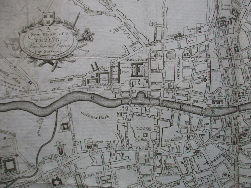
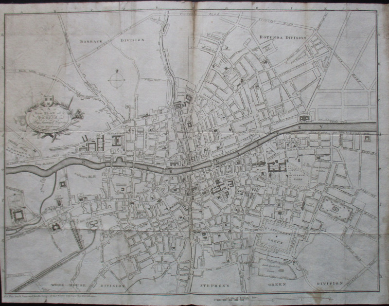
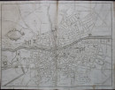
A New Plan of Dublin by Samuel Byron 1789

Book Description
A New Plan of Dublin by Samuel Byron published by Wilson Dublin 1789. On paper size 40 by 30 cm. Scale approximately 5 inches to the mile. Uncoloured. Covers an area bounded by the Circular Road in the north Phenix Park (?) the Royal Hospital and the Grand Canal in the west Lord Earlsforts Lawn and the Warren brook in the south and Sir John Rogerton's Quay in the east. A detailed map with almost all streets and public buildings named. Title in a decorative cartouche. Has been folded. Occasional foxing and browning to margins. Some professional strengthening to reverse. Good condition.
Author
Byron
Date
1789
Publisher
Wilson
Illustrator
Byron
Condition
Good
Friends of the PBFA
For £10 get free entry to our fairs, updates from the PBFA and more.
Please email info@pbfa.org for more information
