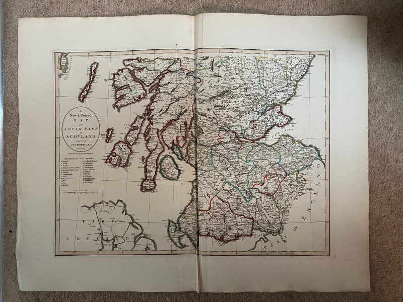
An New and Correct Map of the South Part of Scotland from the Best Authorities

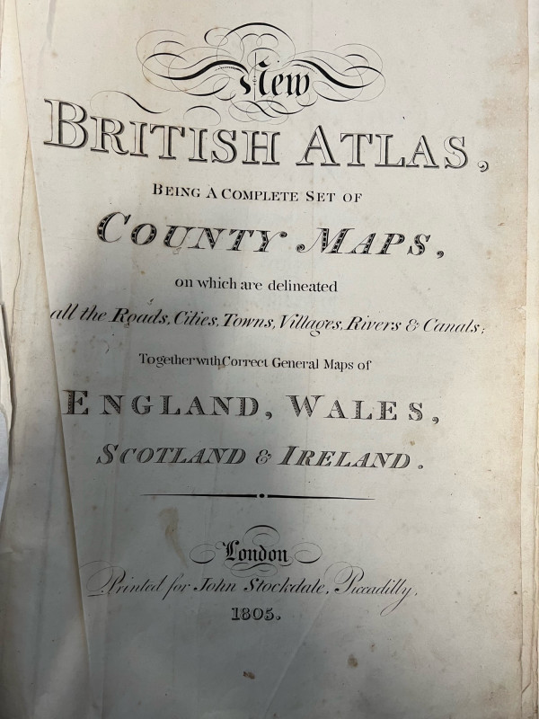

Book Description
Dealer Notes
Other books
If you liked the book you've just seen, you might be interested in other books from the same dealer below.
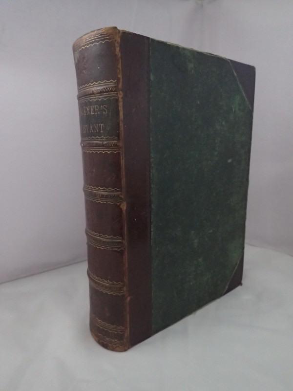
The Gardener's Assistant: Practical and Scientific...
THOMPSON, Robert
Blackie & Son
£75.00
Offered by Yatton Books & Prints
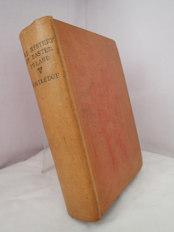
The Mystery of Easter Island: The Story of an Expe...
ROUTLEDGE, Mrs Scoresby
Sifton, Praed & Co Ltd
£390.00
Offered by Yatton Books & Prints
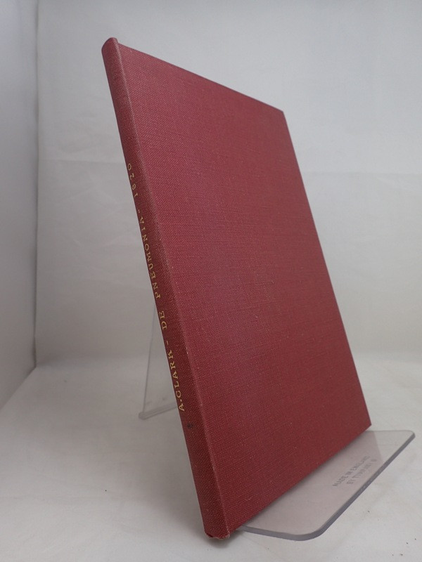
Three Medical Dissertations submitted to Edinburgh...
CLARK, Alexander & REID, James & GREEN, John Lane
Various
£130.00
Offered by Yatton Books & Prints
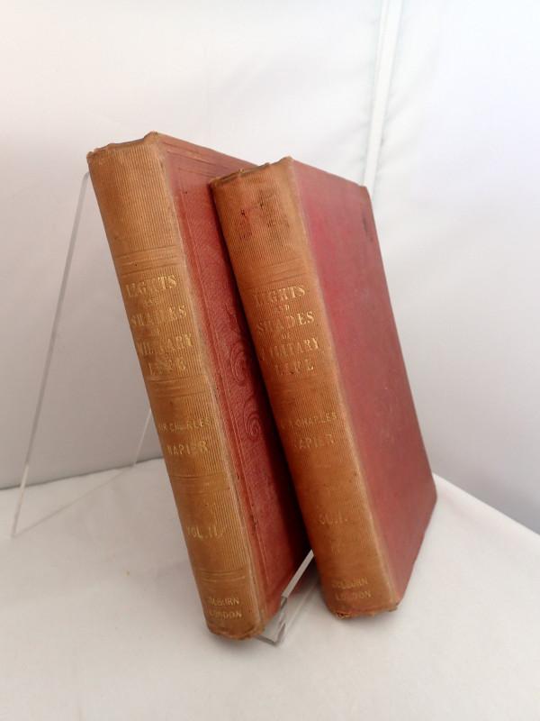
Lights and Shades of Military Life in Two Volumes
NAPIER, Charles (ed)
Henry Colburn
£140.00
Offered by Yatton Books & Prints
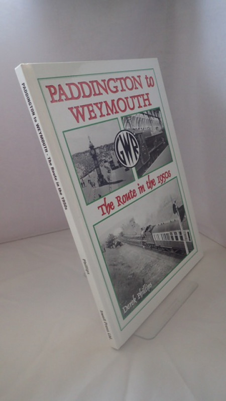
Paddington to Weymouth: The Route in the 1950s
PHILLIPS, Derek
Irwell Press Ltd
£18.00
Offered by Yatton Books & Prints
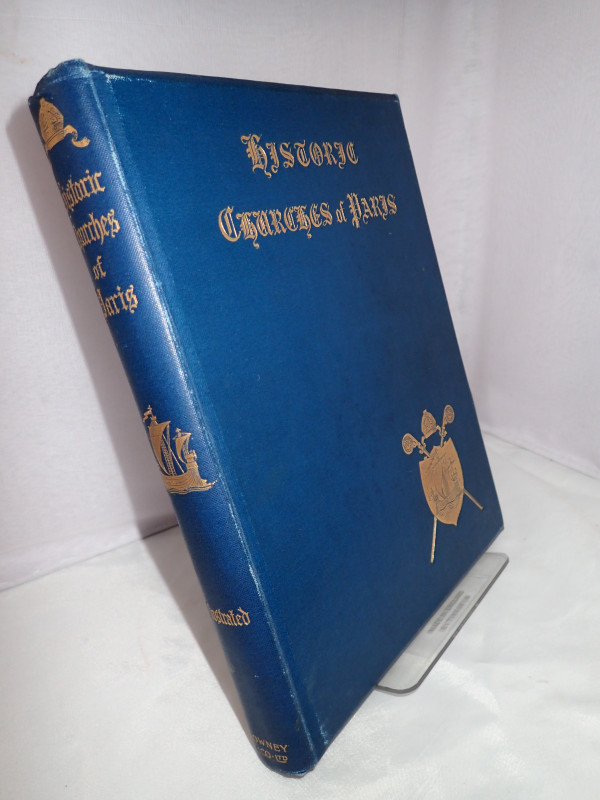
Historic Churches of Paris
LONGERAN, Walter F
Downey & Co, London
£40.00
Offered by Yatton Books & Prints
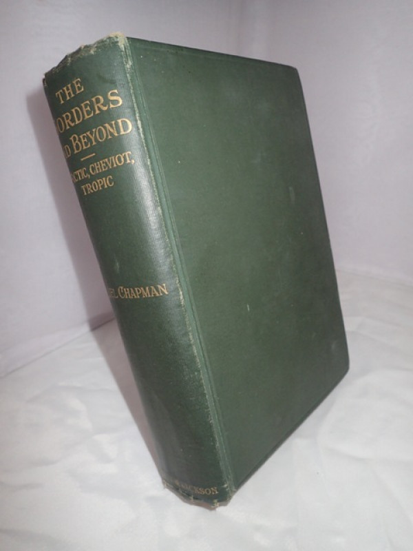
The Borders And Beyond: Arctic Cheviot Tropic
CHAPMAN, Abel
Gurney & Jackson, London
£26.00
Offered by Yatton Books & Prints
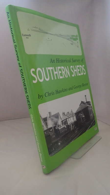
An Historical Survey of Southern Sheds
HAWKINS, Chris & REEVE, George
Oxford Publishing Co
£18.00
Offered by Yatton Books & Prints
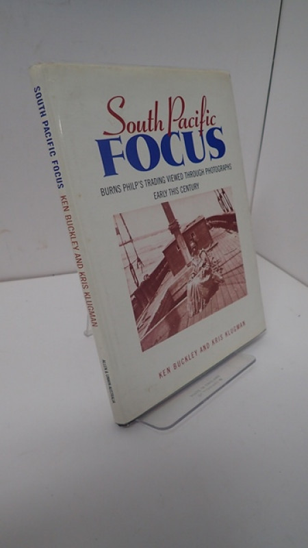
South Pacific Focus: A Record in Words and Photogr...
BUCKLEY, Ken & KLUGMAN, Kris
Allen & Unwin
£22.00
Offered by Yatton Books & Prints
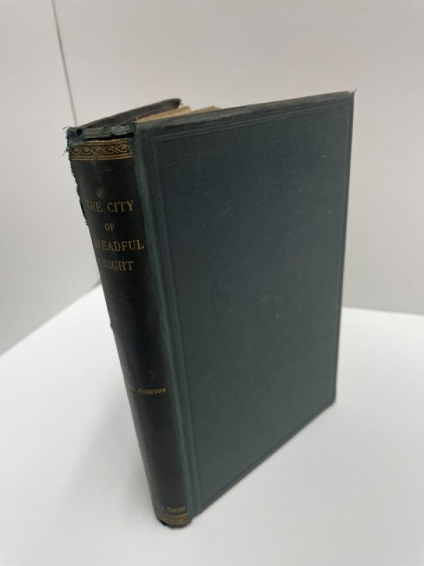
The City of Dreadful Night and Other Poems
TOMSON, James
Reeves and Turner, London
£70.00
Offered by Yatton Books & Prints
Friends of the PBFA
Please email info@pbfa.org for more information