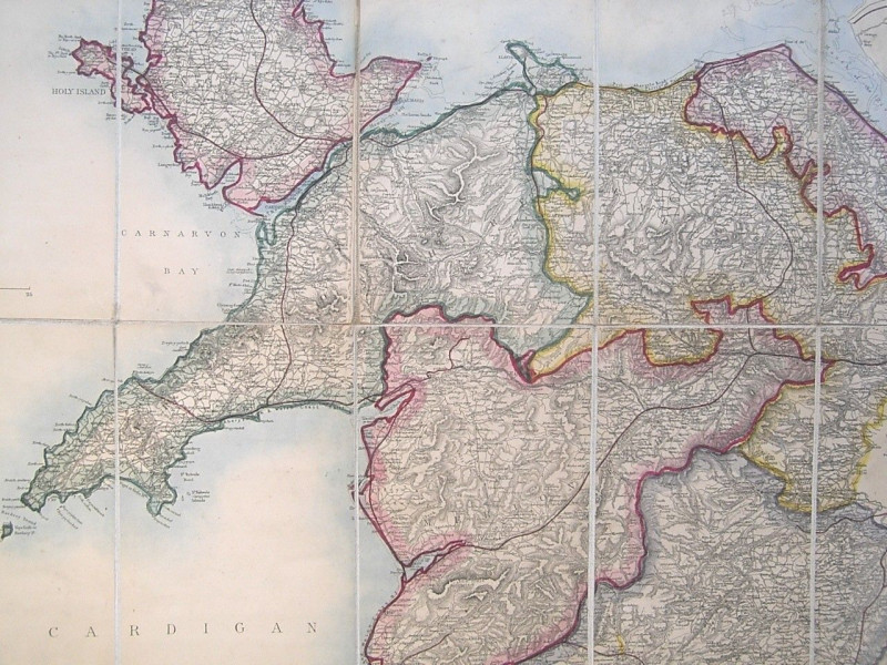
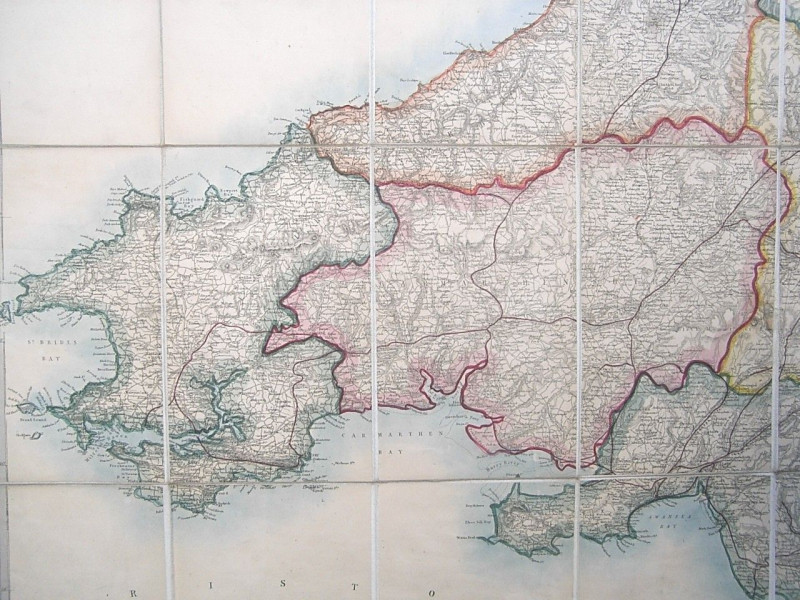
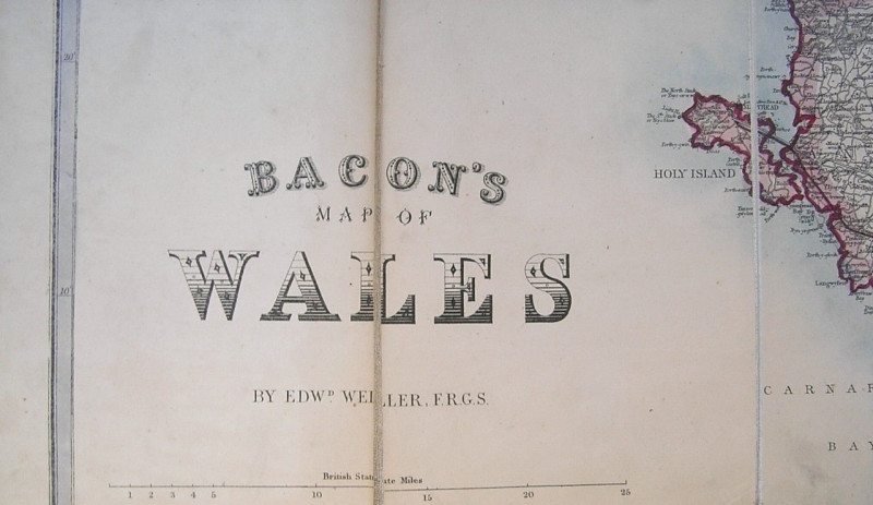
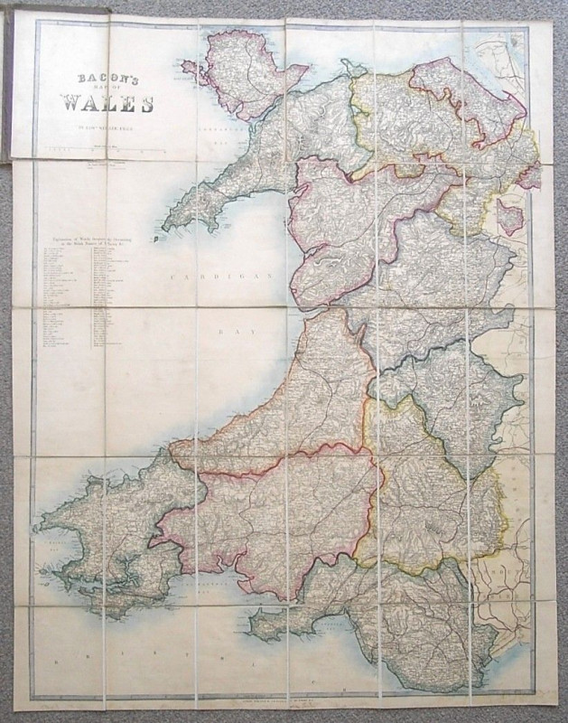
BACON’S MAP OF WALES by Edward Weller ( Hand Coloured Linen Backed Folding Sectioned 1869 Map )


Book Description
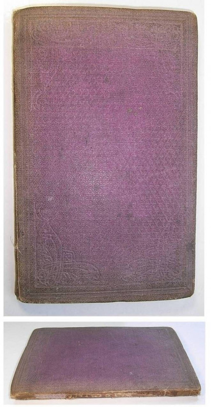
Undated, Copac records date this very attractive map of Wales to 1869, bound in what appears to be the original embossed patterned cloth covers, the map is hand coloured and mounted on linen, dissected into thirty sections, measuring 33 inches by 26 inches approx., folding down to 8 inches by 5 inches approx., the covers are faded with some marking, some loss to cloth along spine, the map has some mild marking, a little more noticeable to lower border, split to fold line on one section else in good general condition
Author
G W Bacon
Date
1869
Publisher
G W Bacon & Co
Friends of the PBFA
For £10 get free entry to our fairs, updates from the PBFA and more.
Please email info@pbfa.org for more information
