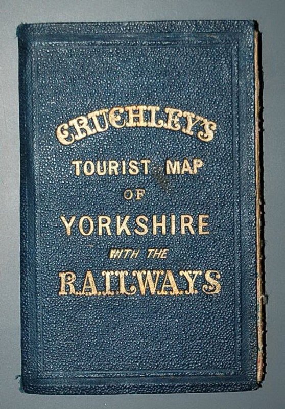
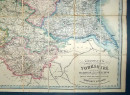
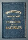
Cruchley’s Railway and Station Map of Yorkshire, Showing all the Railways & Names of Stations, also the Turnpike Roads, Gentlemen’s Seats, &c. &c. Improved from the Ordnance Surveys.

Book Description
Other books
If you liked the book you've just seen, you might be interested in other books from the same dealer below.
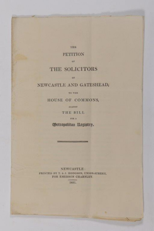
The Petition of the Solicitors of Newcastle and Ga...
LAW.
Newcastle: Printed by T. & J. Hodgson,
£50.00
Offered by Forest Books
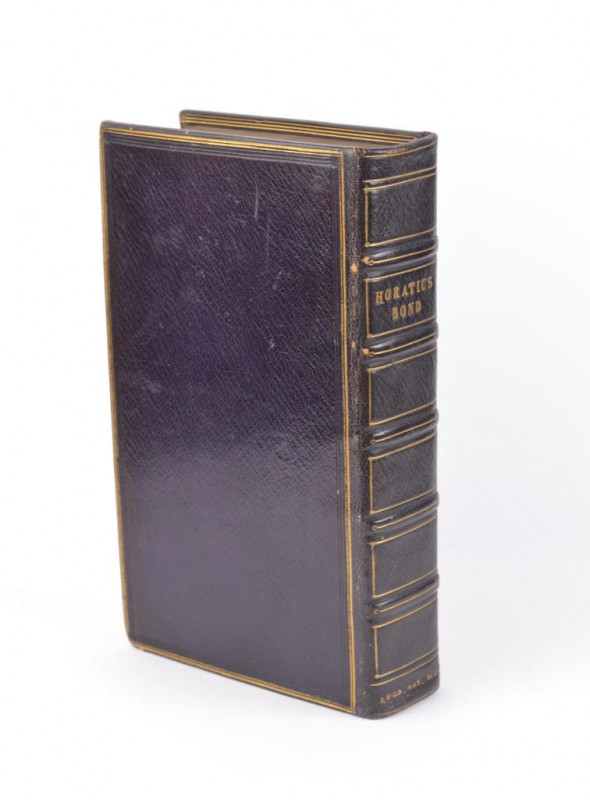
Q. Horatius Flaccus: Cum commentariis selectissimi...
HORACE.
Lugd. Batavorum : Ex officina Hackiana,
£125.00
Offered by Forest Books
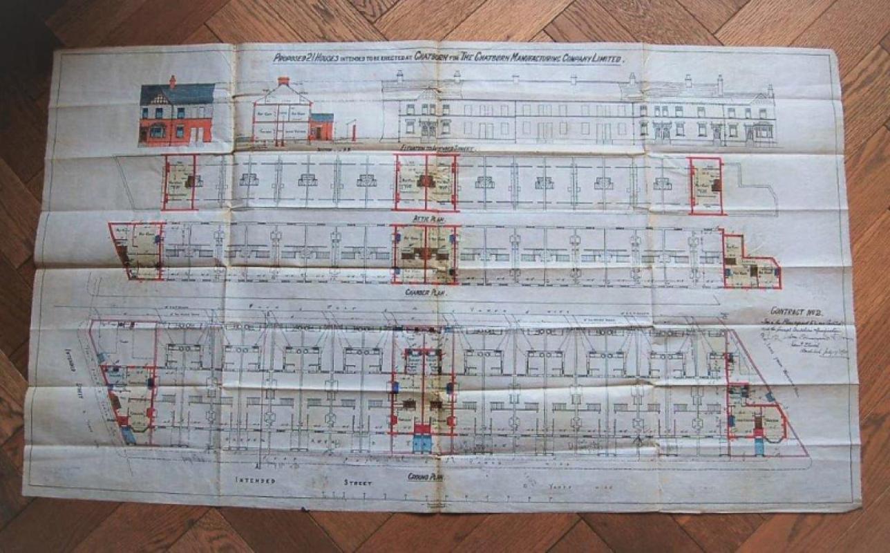
Proposed plan for 21 houses intended to be erected...
ARCHITECTURAL PLANS. CHATBURN, NEAR CLITHEROE, LANCASHIRE.
£145.00
Offered by Forest Books
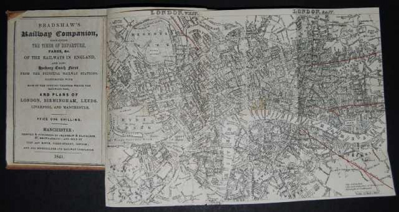
Bradshaw's Railway Companion, containing the times...
BRADSHAW'S RAILWAY COMPANION.
Manchester: Printed & Published by Bradshaw & Blacklock,
£275.00
Offered by Forest Books
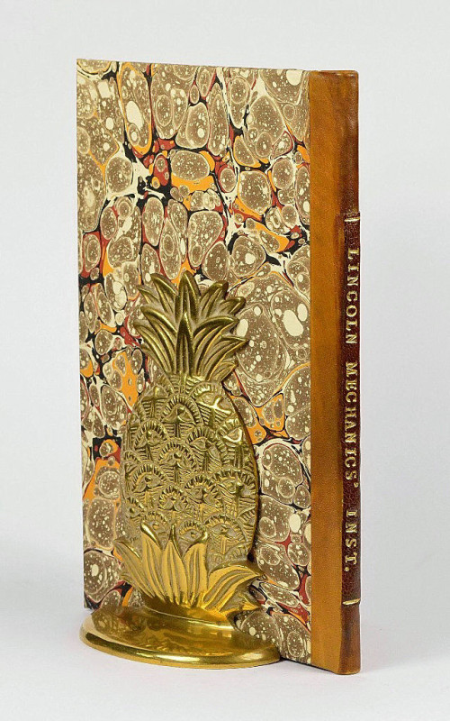
Catalogue of the Lincoln and Lincolnshire Mechanic...
LINCOLN MECHANICS’ INSTITUTION LIBRARY.
Lincoln:
£245.00
Offered by Forest Books
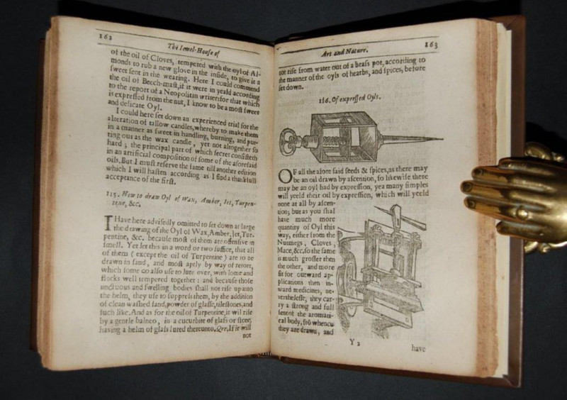
The Jewel House of Art and Nature: Containing Dive...
PLAT (Sir Hugh)
London: Printed by Bernard Alsop,
£2895.00
Offered by Forest Books
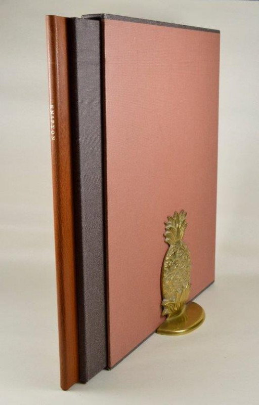
Knipton: a Leicestershire village. By John O’Conno...
WHITTINGTON PRESS. O’CONNOR (John)
Risbury: The Whittington Press,
£695.00
Offered by Forest Books
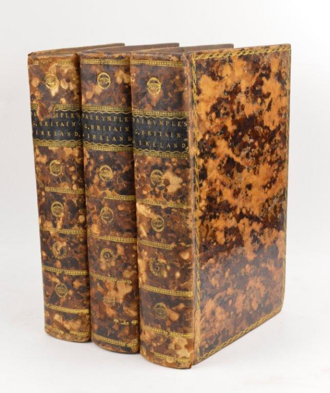
Memoirs of Great Britain and Ireland; from the Dis...
DALRYMPLE (Sir John)
London: Printed for A. Straham, and T. Cadell,
£295.00
Offered by Forest Books
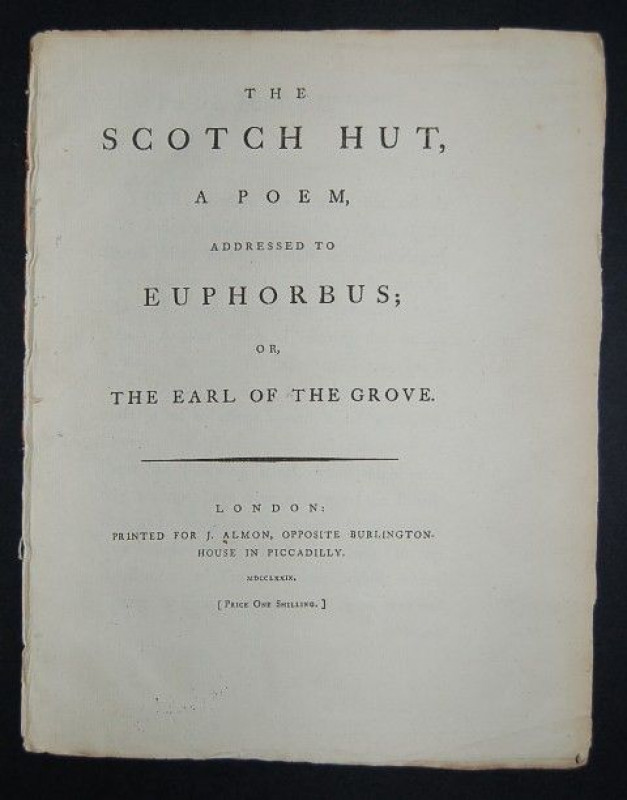
The Scotch Hut, A Poem, Addressed to Euphorbus; or...
POEM.
London: Printed for J. Almon,
£295.00
Offered by Forest Books
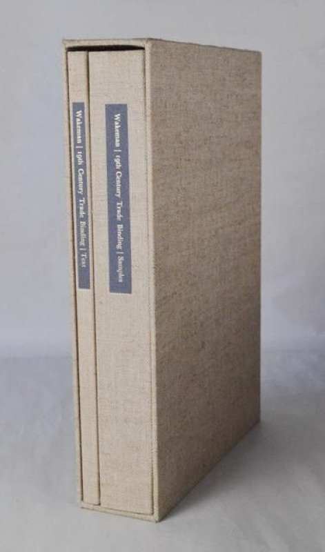
Nineteenth Century Trade Binding.
PLOUGH PRESS. WAKEMAN (Geoffrey)
Loughborough: The Plough Press,
£395.00
Offered by Forest Books
Friends of the PBFA
Please email info@pbfa.org for more information