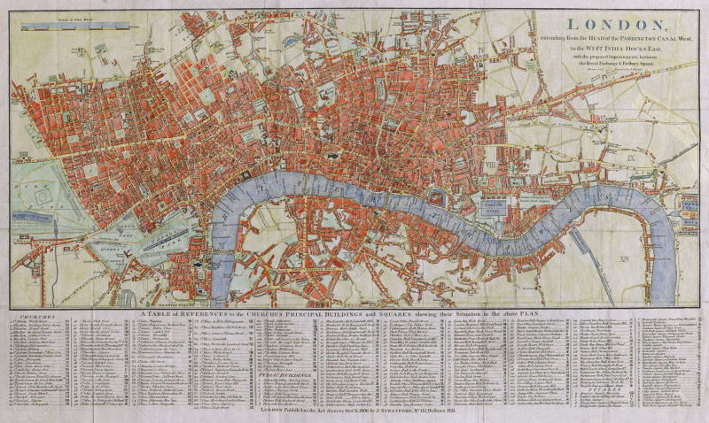
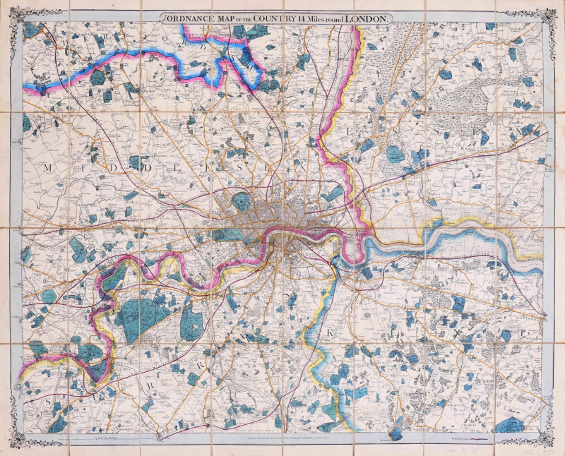
from the Ordnance Map of the Country 14 Miles round London
Book Description
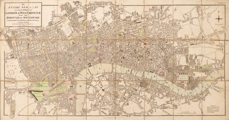
engraved map with original hand-colouring, dissected and linen-backed, pale even browning, patterned endpapers on verso, folding into original green moiré slipcase, slight wear to corners, publisher’s yellow label with surface dirt and some ink scribbling, [Hyde 26 (1)]
Dealer Notes
first edition of Cruchley’s map stated to have been published by G. & J. Cary, now republished by Cruchley, though all later updates remove the Cary association. It extends from Enfield to Banstead and Ewell, and from Hayes to Hornchurch. Despite the date of 1852, it omits any reference to the Crystal Palace in any location, though it appears at Sydenham Hill in the subsequent edition of 1853. The Great Northern Railway is shown to Kings Cross
Author
Cruchley (George Frederick)
Date
1852
Publisher
George Frederick Cruchley, London
Friends of the PBFA
For £10 get free entry to our fairs, updates from the PBFA and more.
Please email info@pbfa.org for more information
