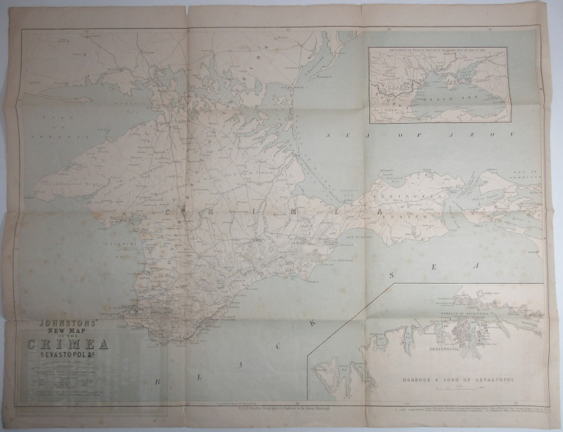
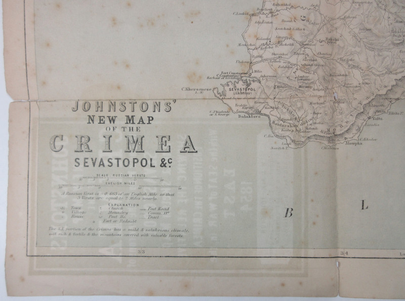
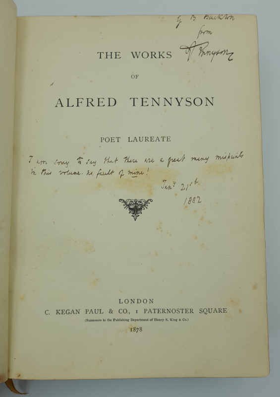
Johnstons' New Map of the Crimea



Book Description
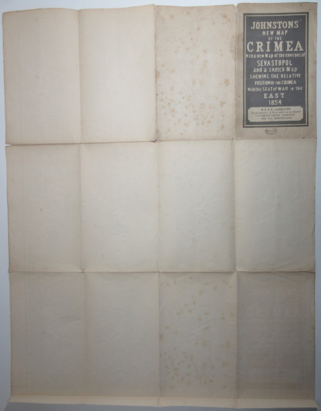
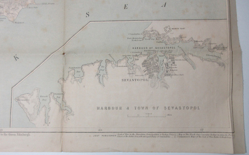
66 x 54 cm folded map with 12 panels. One large map of Crimea with two smaller inset maps one showing Sevastopol harbour in detail and the other the surrounding states, ‘the seat of the war in the East’. Tears to the edges of 1-4 cm at the folds and 5 smaller tears where the corners of panels. There is some spotting most obviously to panels that are on the outside of the folded map but to a lesser extent internally. An interesting and scarce survivor.
Author
W & A K Johnston (publishers)
Date
nd(1854)
Publisher
W & A K Johnston, Edinburgh
Condition
VG-
Friends of the PBFA
For £10 get free entry to our fairs, updates from the PBFA and more.
Please email info@pbfa.org for more information
