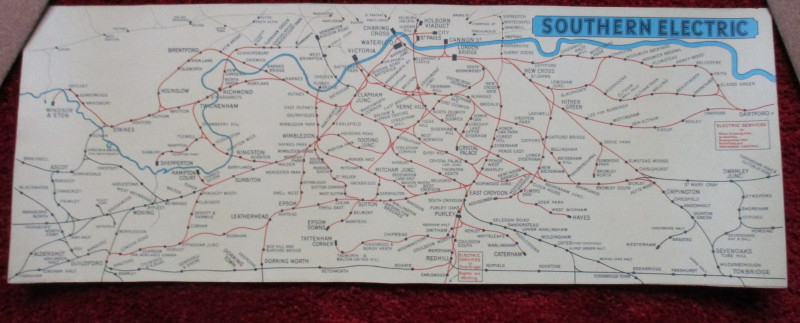
London Railway Map Carriage Print. Southern Electric

Book Description
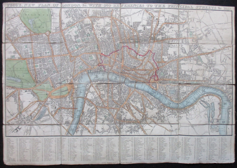
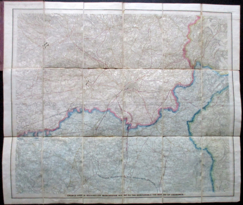
London Railway Map Carriage Print. Southern Electric. A Southern Railway London area map on stiff card, size 65 by 24 cm., originally intended to show the company’s suburban routes inside a carriage in a display panel above the seats. Colour. Covers an area from Slough and Windsor across to Dartford in the north (and including London main line stations) and from Farnham across to Tonbridge in the south. No date but lettering and style would appear to indicate the period 1935-55. VG condition.
Author
Southern Electric
Date
1950
Publisher
Southern Electric
Illustrator
Unknown
Condition
VG
Friends of the PBFA
For £10 get free entry to our fairs, updates from the PBFA and more.
Please email info@pbfa.org for more information
