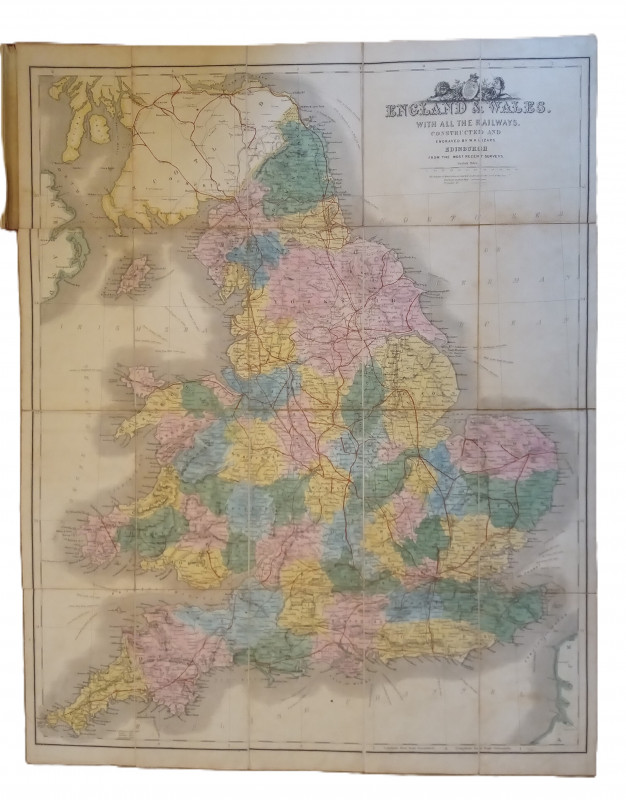
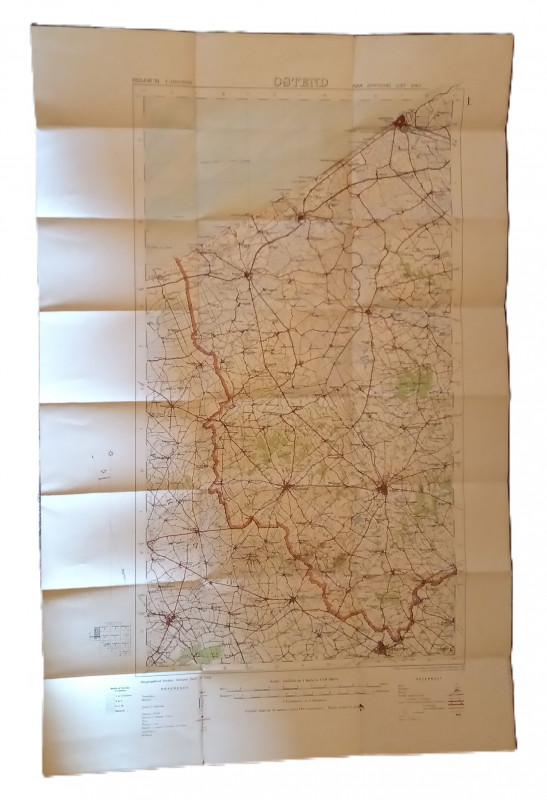
Map of England & Wales with all the Railways



Book Description
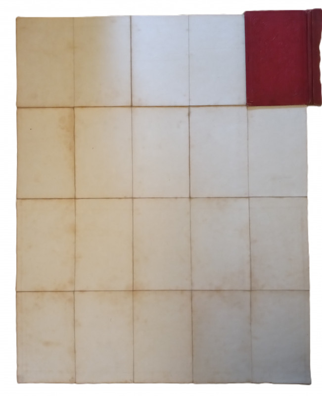
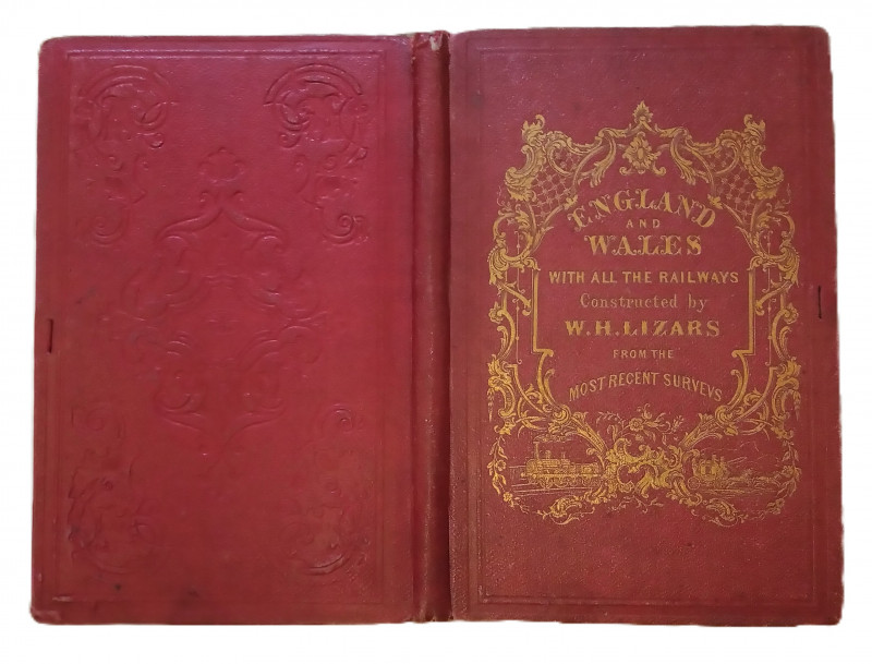
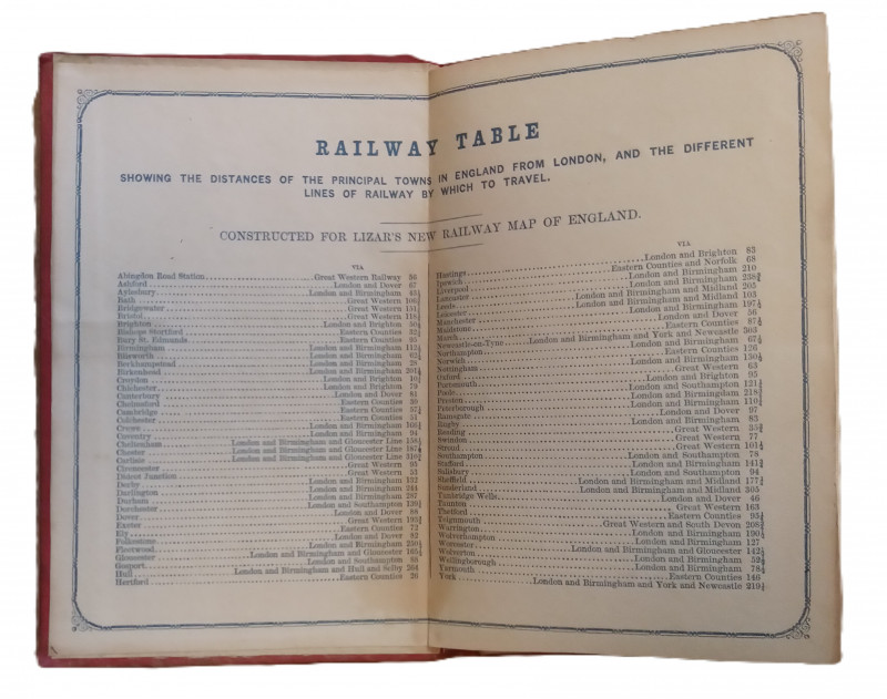
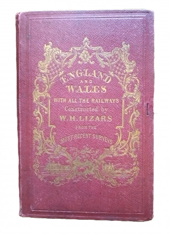
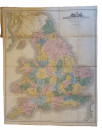
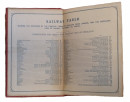
Map of England & Wales with all the Railways, constructed and engraved by W. H. Lizars, Edinburgh from all the most recent surveys. The map isn't dated but is c1855. It is linen backed in 20 sections and measures in total approximately 64x49 cms. The paper has browned somewhat with age and the map is foxed. Covers a little worn. Further photographs can be sent on request.
Author
W. H. Lizars
Date
c.1855
Publisher
W. H. Lizars
Friends of the PBFA
For £10 get free entry to our fairs, updates from the PBFA and more.
Please email info@pbfa.org for more information
